MyTopo
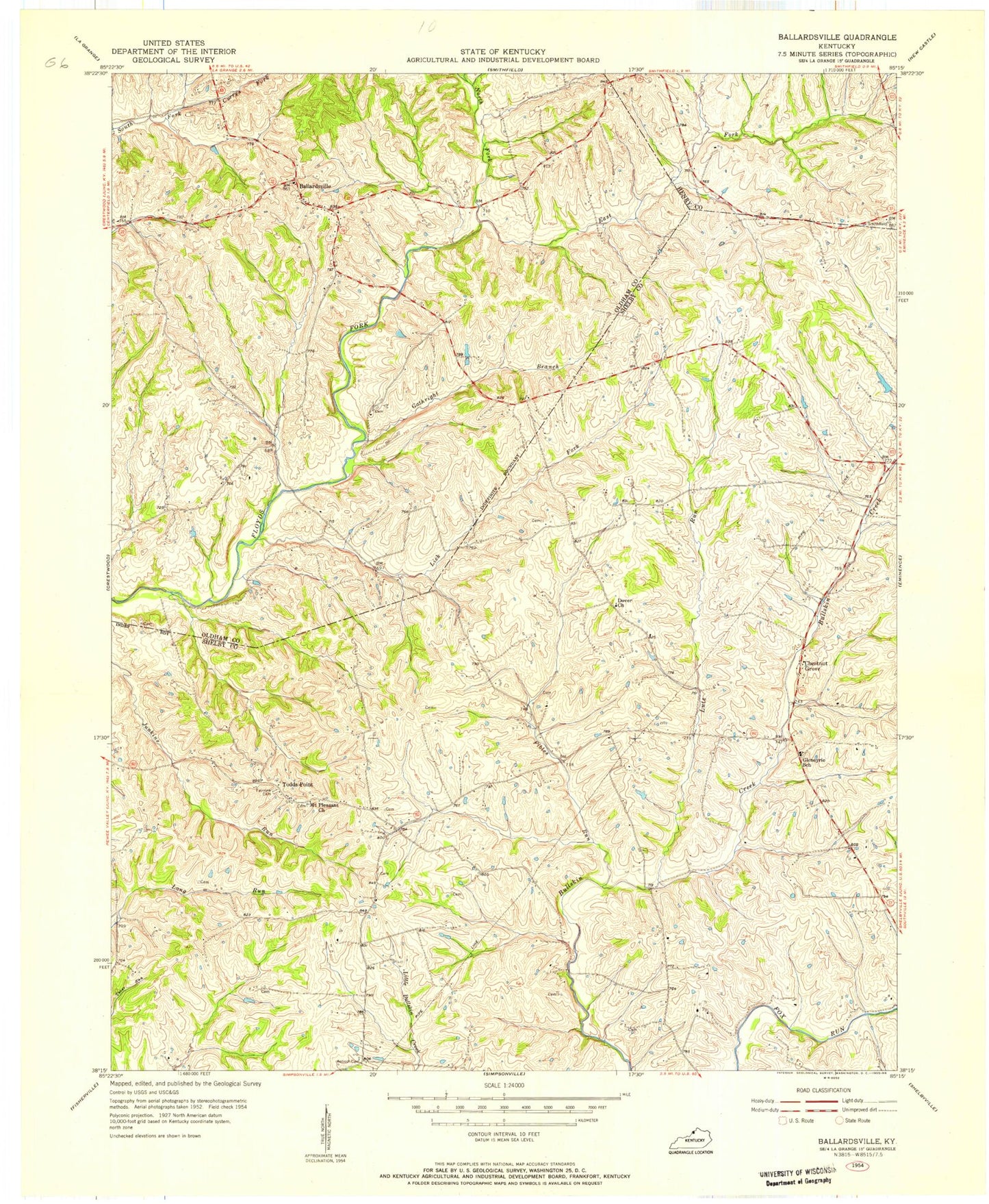
Classic USGS Ballardsville Kentucky 7.5'x7.5' Topo Map
Couldn't load pickup availability
Historical USGS topographic quad map of Ballardsville in the state of Kentucky. Map scale may vary for some years, but is generally around 1:24,000. Print size is approximately 24" x 27"
This quadrangle is in the following counties: Henry, Oldham, Shelby.
The map contains contour lines, roads, rivers, towns, and lakes. Printed on high-quality waterproof paper with UV fade-resistant inks, and shipped rolled.
Contains the following named places: Antioch Cemetery, Antioch Christian Church, Ballardsville, Ballardsville Fire Department, Camp Creek, Chestnut Grove, Chestnut Grove Grange Hall, Chestnut Grove Post Office, Dover Baptist Church, East Fork Floyds Fork, Fairview Cemetery, Fibles Run, Gathright Branch, Gathright Hill, Gleneyrie School, Hebron Cemetery, Hebron Church, Jeffries Farm Airport, Lick Fork, Lincolnfellow Hill, Lutz Run, Mallory, Mount Pleasant Church, North Fork Floyds Fork, Olivet Presbyterian Church, Pinhook Church, Raymond Hill, Sandusky School, Shelby County Baptist Camp, Shelby County Fire Department Station 5, Simpsonville Rural Fire Protection District - Station 2, Todds Point, Todds Point Post Office, Zion