MyTopo
Classic USGS Ballinger Canyon California 7.5'x7.5' Topo Map
Regular price
$16.95
Regular price
Sale price
$16.95
Unit price
per
Couldn't load pickup availability
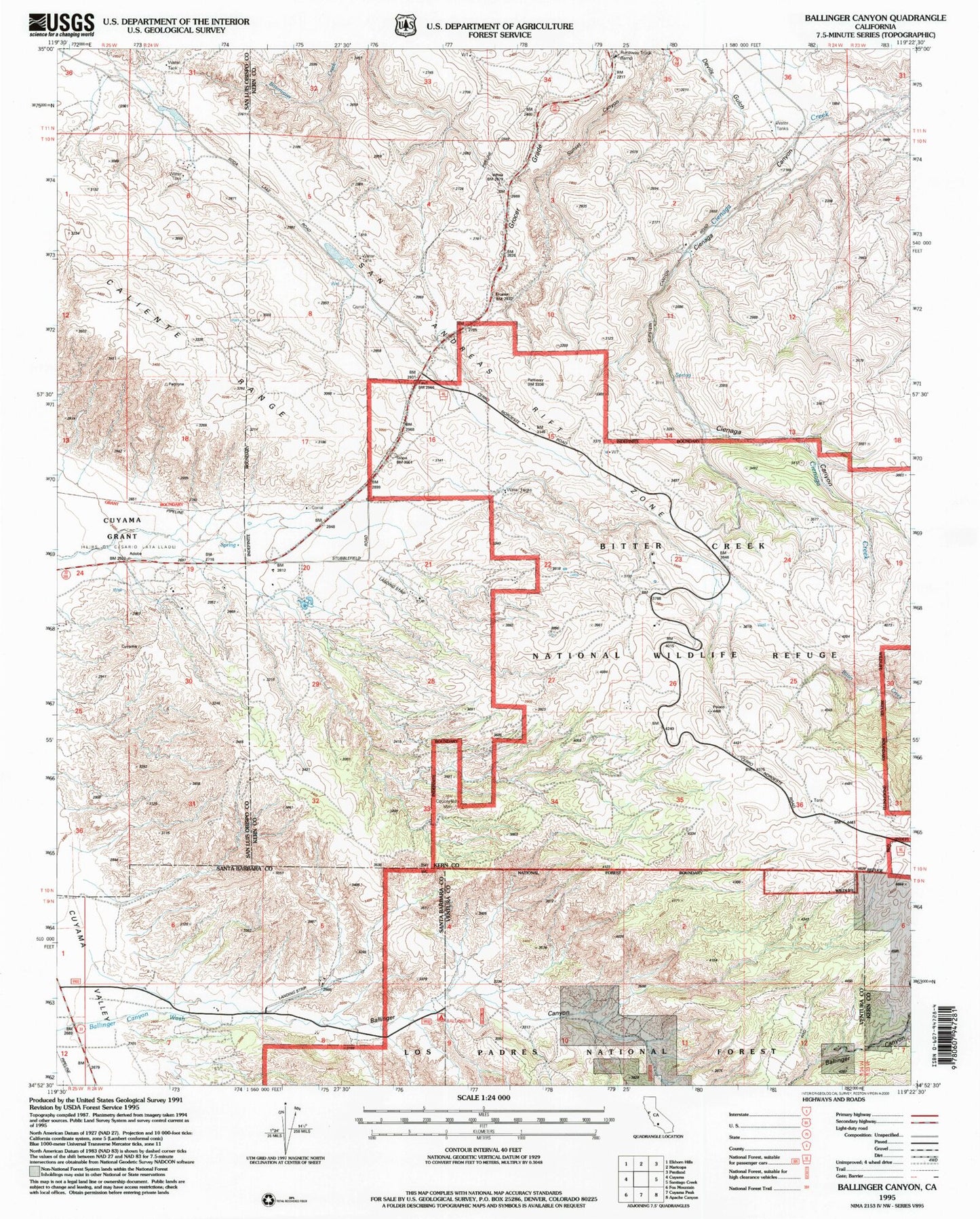
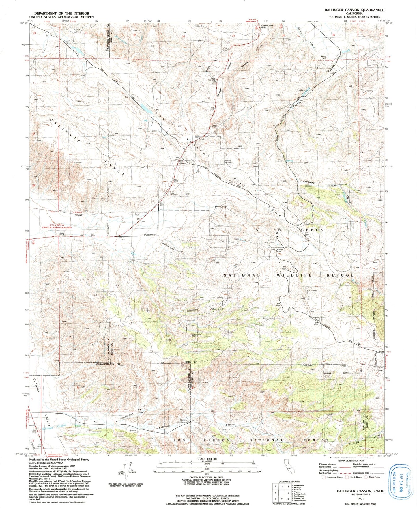
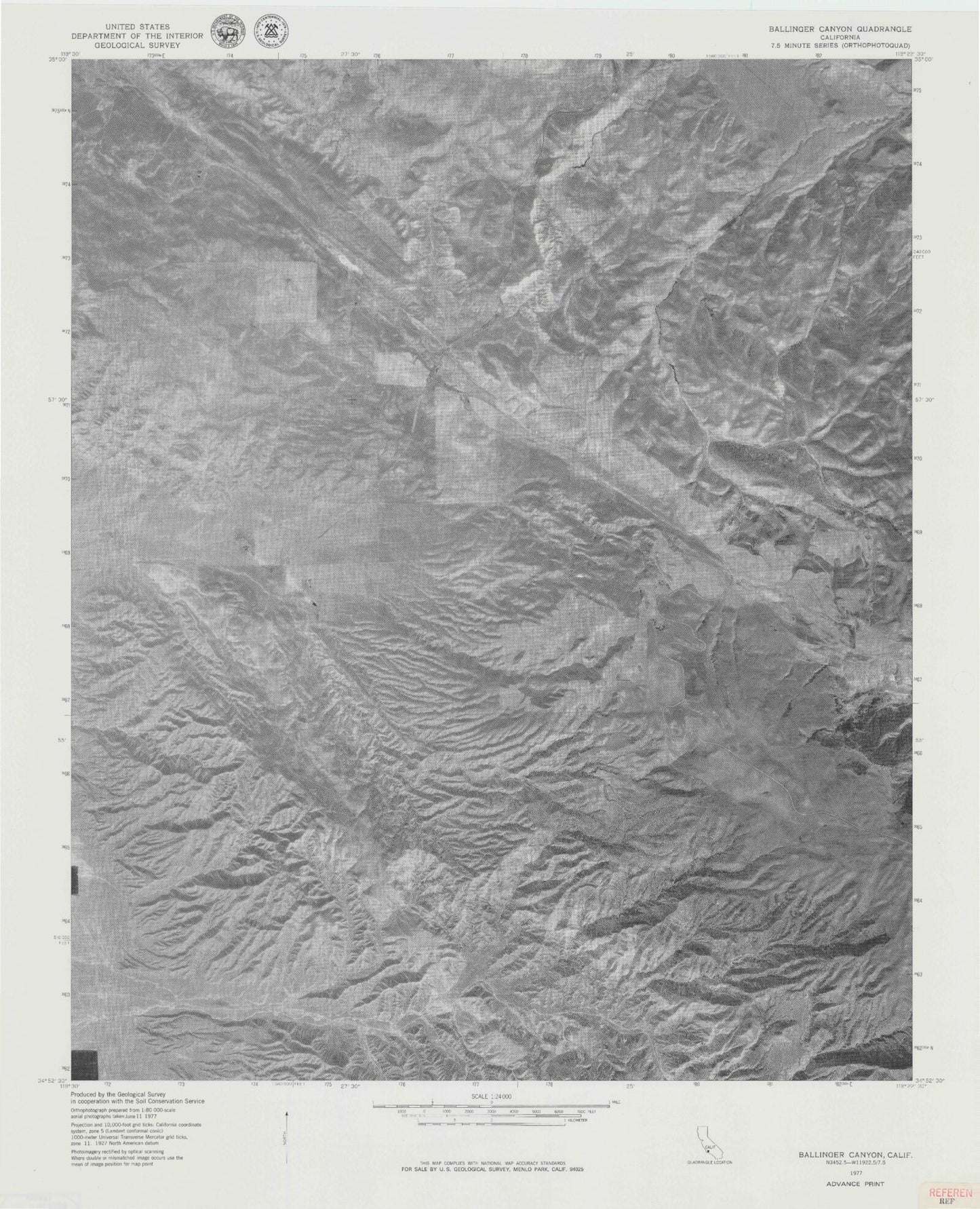
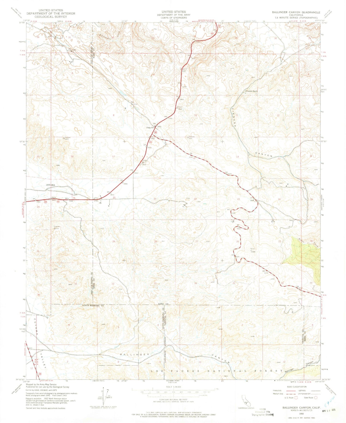
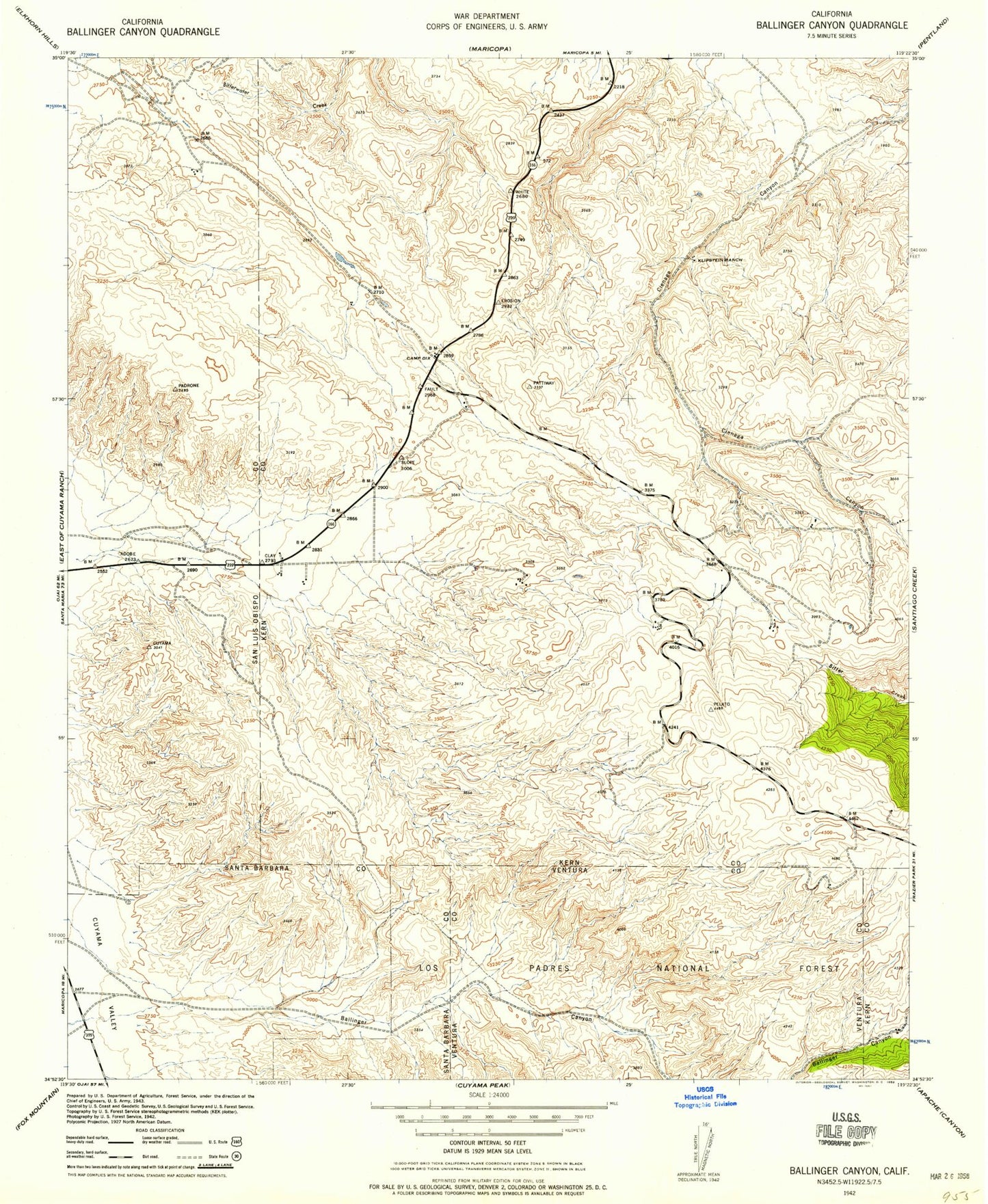
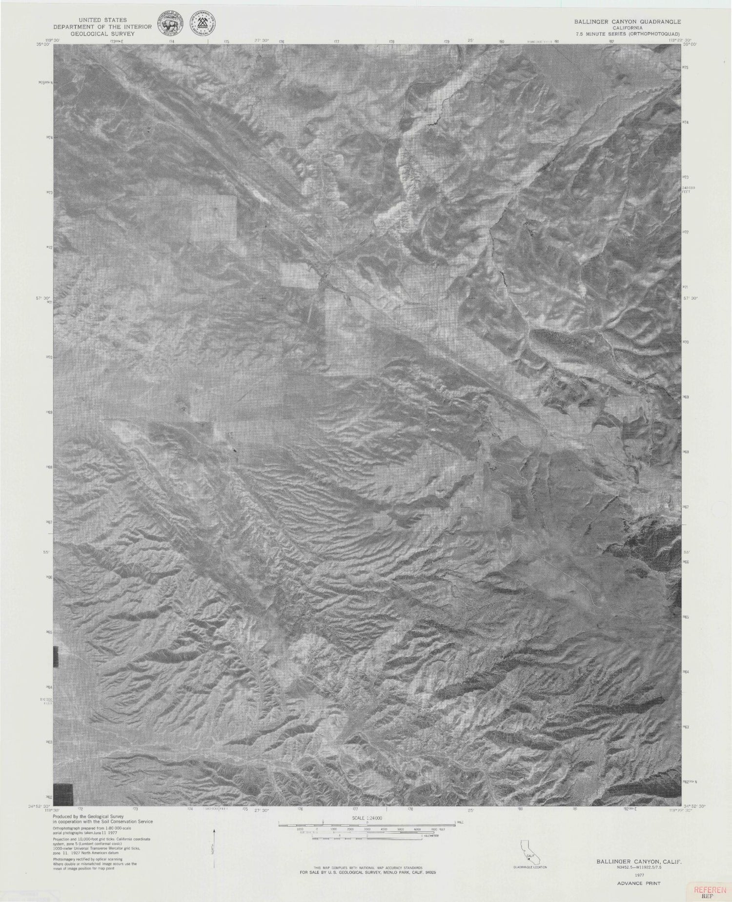
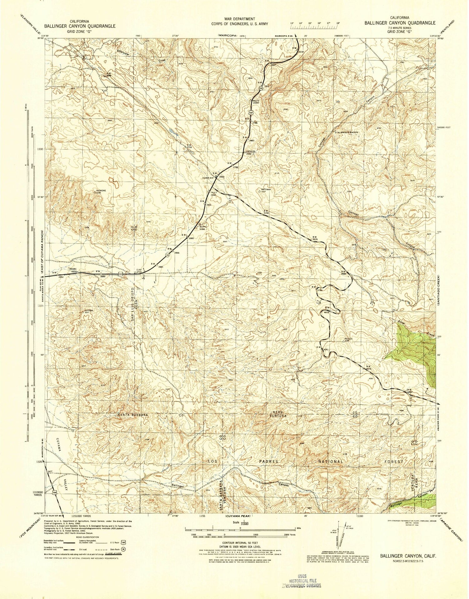
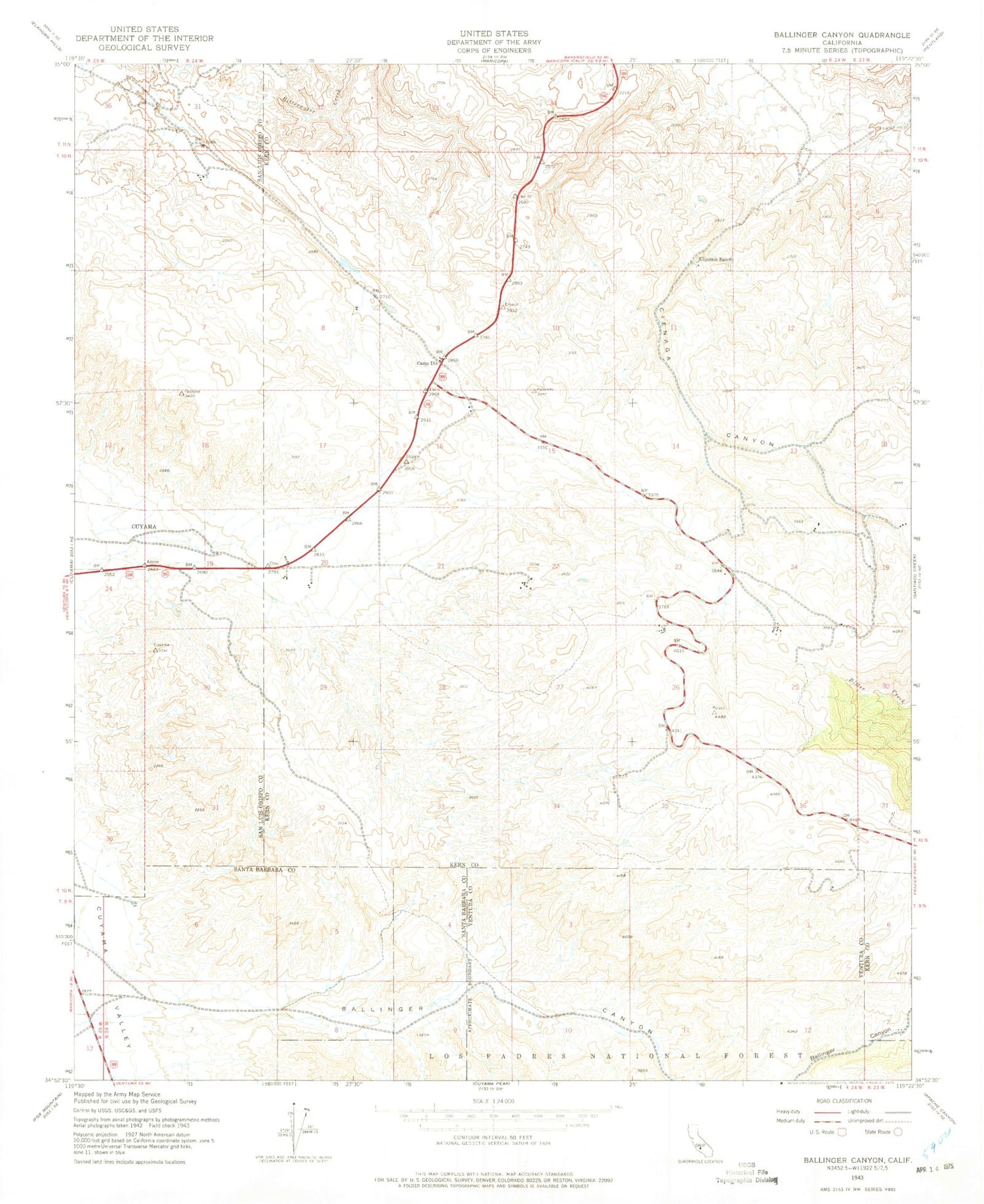
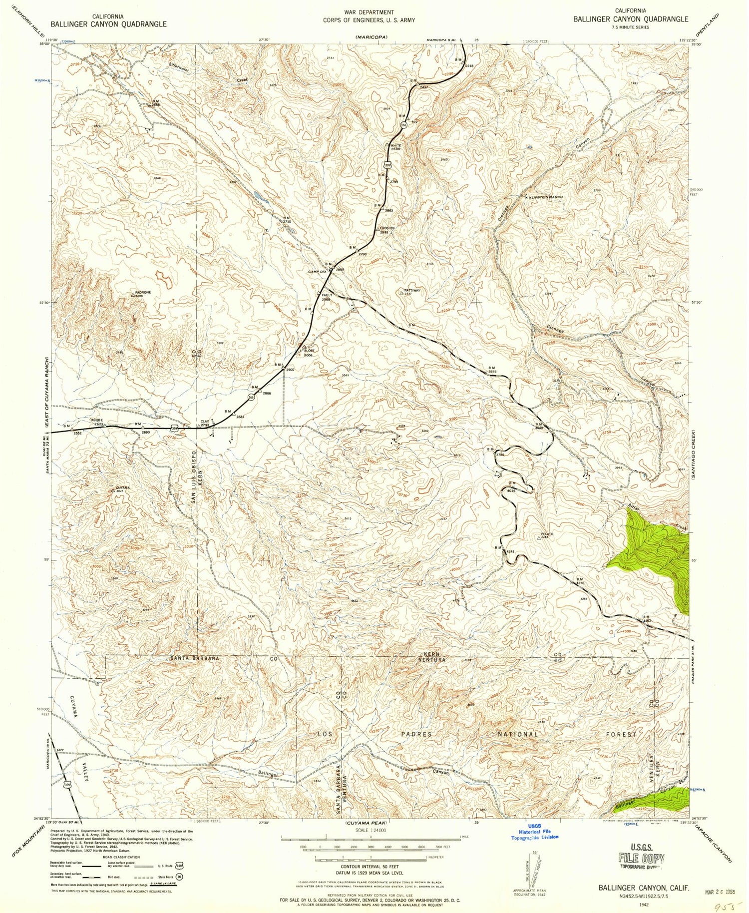
Historical USGS topographic quad map of Ballinger Canyon in the state of California. Map scale may vary for some years, but is generally around 1:24,000. Print size is approximately 24" x 27"
This quadrangle is in the following counties: Kern, San Luis Obispo, Santa Barbara, Ventura.
The map contains contour lines, roads, rivers, towns, and lakes. Printed on high-quality waterproof paper with UV fade-resistant inks, and shipped rolled.
Contains the following named places: 7R Ranch Airport, Ballinger Campground, Ballinger Canyon, Ballinger Recreation Site, Bitter Creek National Wildlife Refuge, Camp Dix, Grocer Grade, Klipstein Ranch, Pattiway, Sunset Canyon