
MyTopo
Classic USGS Balls Ferry California 7.5'x7.5' Topo Map
Couldn't load pickup availability
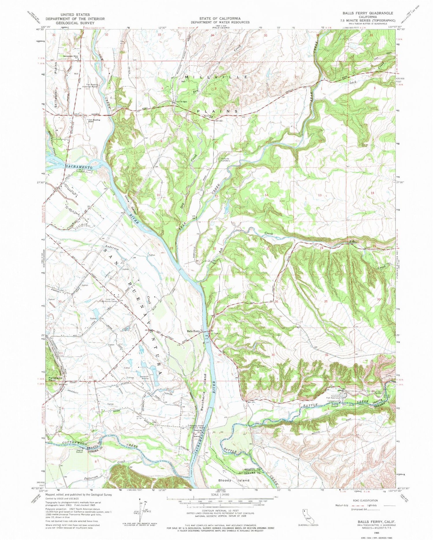
Historical USGS topographic quad map of Balls Ferry in the state of California. Map scale may vary for some years, but is generally around 1:24,000. Print size is approximately 24" x 27"
This quadrangle is in the following counties: Shasta, Tehama.
The map contains contour lines, roads, rivers, towns, and lakes. Printed on high-quality waterproof paper with UV fade-resistant inks, and shipped rolled.
Contains the following named places: Anderson Creek, Ash Creek, Balls Ferry, Balls Ferry Bridge, Balls Ferry Fishing Resort, Bear Creek, China Garden, Coleman National Fish Hatchery, Cottonwood Creek, Cow Creek, Dersch Ranch, Dry Creek, Fort Reading Ranch, KRDG-AM (Redding), Lack Creek, Lone Tree Community Center, Lone Tree School, Panorama Point, Parkville Cemetery, Parkville School, Patterson Creek, Rancherie Island, Rancho Buena Ventura, Rancho Buenaventura, Reading Adobe, Reading Adobe Historical Marker, Reading Island, Sacramento River School, Stillwater Creek, Twin Bridges


