MyTopo
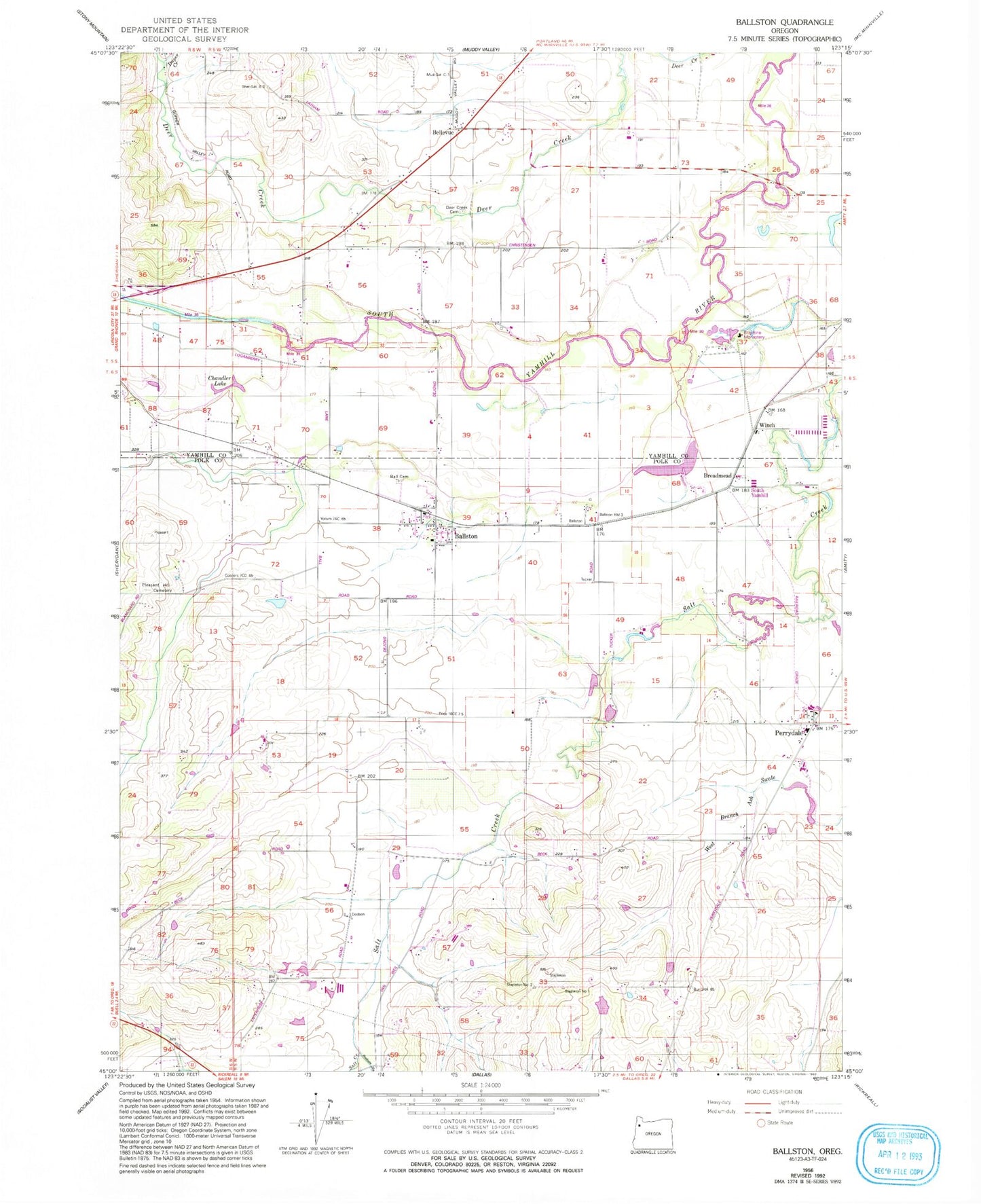
Classic USGS Ballston Oregon 7.5'x7.5' Topo Map
Couldn't load pickup availability
Historical USGS topographic quad map of Ballston in the state of Oregon. Map scale may vary for some years, but is generally around 1:24,000. Print size is approximately 24" x 27"
This quadrangle is in the following counties: Polk, Yamhill.
The map contains contour lines, roads, rivers, towns, and lakes. Printed on high-quality waterproof paper with UV fade-resistant inks, and shipped rolled.
Contains the following named places: Amity Fire District Station 50, Ball Cemetery, Ballston, Ballston County Park, Ballston Post Office, Bellevue, Bellevue - Yocum Cemetery, Bellevue Post Office, Berkey Creek, Brigittine Monastery, Brigittine Monastery Cemetery, Broadmead, Broadmead Post Office, Bruinsma Reservoir, Buhler Reservoir, Byerley Corner, Chandler Lake, Deer Creek Cemetery, Dejong Dam, Dejong Reservoir, Dupee Creek, Eola Hills Charter School, Fast Reservoir, Green Acres Reservoir, Harrison, Harrison Lake, Hidden Lake Reservoir, Hoekstre Slough, Ingebrand Dam, Ingebrand Reservoir, Larson Reservoir, Lawn Arbor Post Office, Lillie Walker Irrigation Pond, Lillie Walker Irrigation Pond Dam, Marvin Fast Reservoir, Morgan's Airport, Muller Reservoir, Neighbors Reservoir, Neuschwanger Reservoir, Perrydale, Perrydale Post Office, Perrydale School, Phoenix Reservoir, Pleasant Hill Pioneer Cemetery, Rossner Reservoir, Scharf Reservoir, Sheridan Fire District Substation Ballston, Sheridan Junction, South Yamhill, South Yamhill Post Office, Stapleton Reservoir, Swearingen Reservoir, Tellin Reservoir, Tucker, Wabash, Walker Dam, Walker Dam Number Two, Walker Reservoir, Walker Reservoir Number Two, Washington Post Office, Winch


