
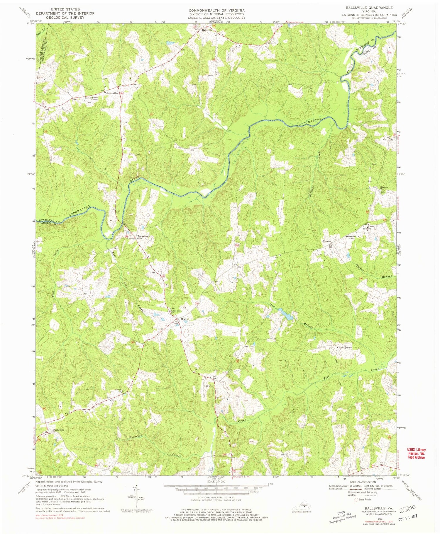
MyTopo
Classic USGS Ballsville Virginia 7.5'x7.5' Topo Map
Couldn't load pickup availability
Historical USGS topographic quad map of Ballsville in the state of Virginia. Map scale may vary for some years, but is generally around 1:24,000. Print size is approximately 24" x 27"
This quadrangle is in the following counties: Amelia, Cumberland, Powhatan.
The map contains contour lines, roads, rivers, towns, and lakes. Printed on high-quality waterproof paper with UV fade-resistant inks, and shipped rolled.
Contains the following named places: Amelia County Volunteer Fire Department Company 5 Paineville, Ballsville, Bardens Dam, Bardens Pond, Bent Creek, Clementown Mills, Dolittle Creek, Epworth Church, Flower Hill Baptist Church Cemetery, Flower Hill Church, Haw Branch, Hobsons Chapel, Horsepen Creek, Hunter-Brooks Dam, Little Bent Creek, Little Union Church, Little Union School, Lodore, Morven, Paineville, Paineville School, Piedmont Cemetery, Piedmont Church, Powhatan County Fire Department Company 3 - Macon District Volunteer Fire Department, Powhatan County Volunteer Rescue Squad Substation 2, Stock Creek, Tobaccoville, Union Church


