MyTopo
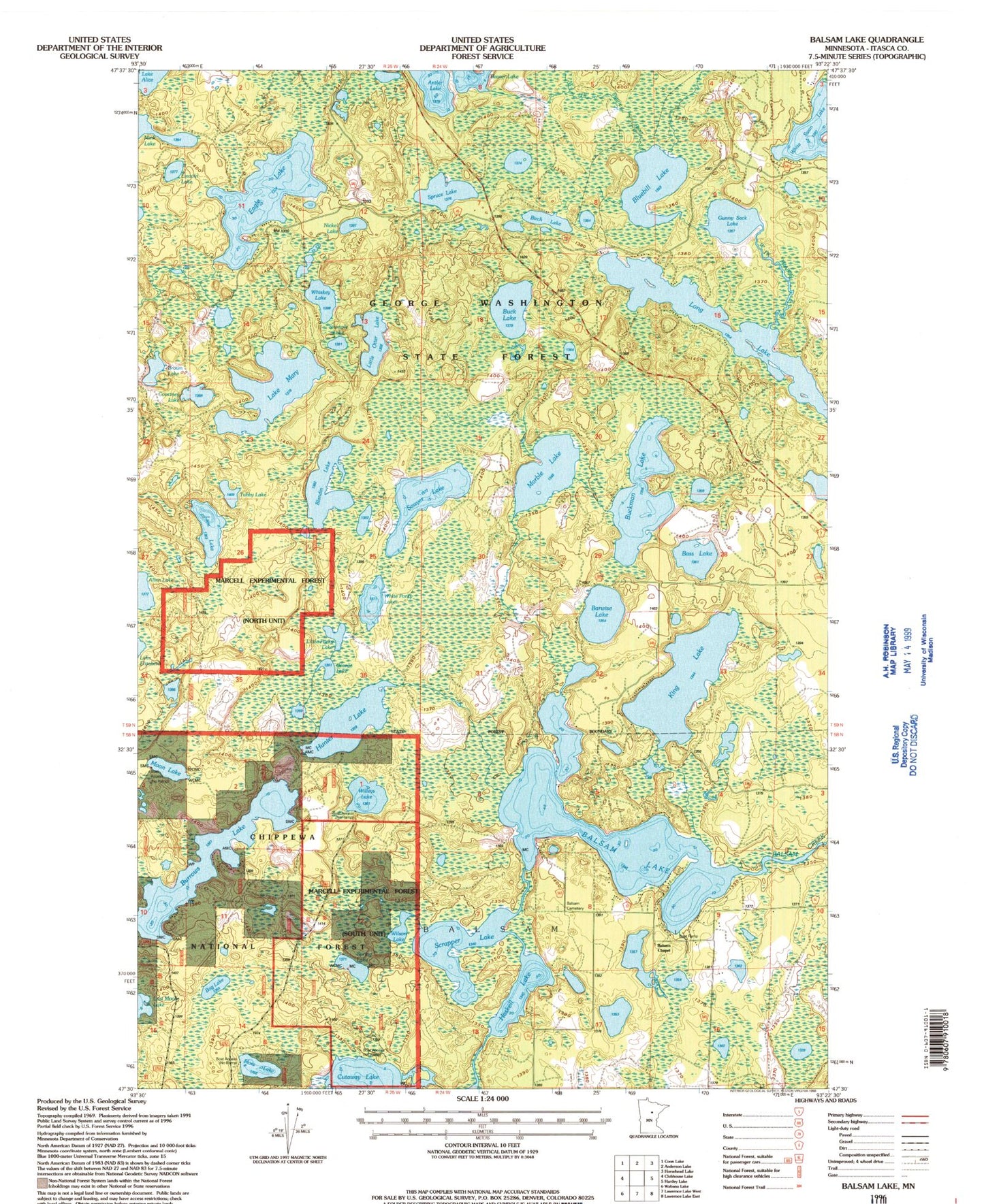
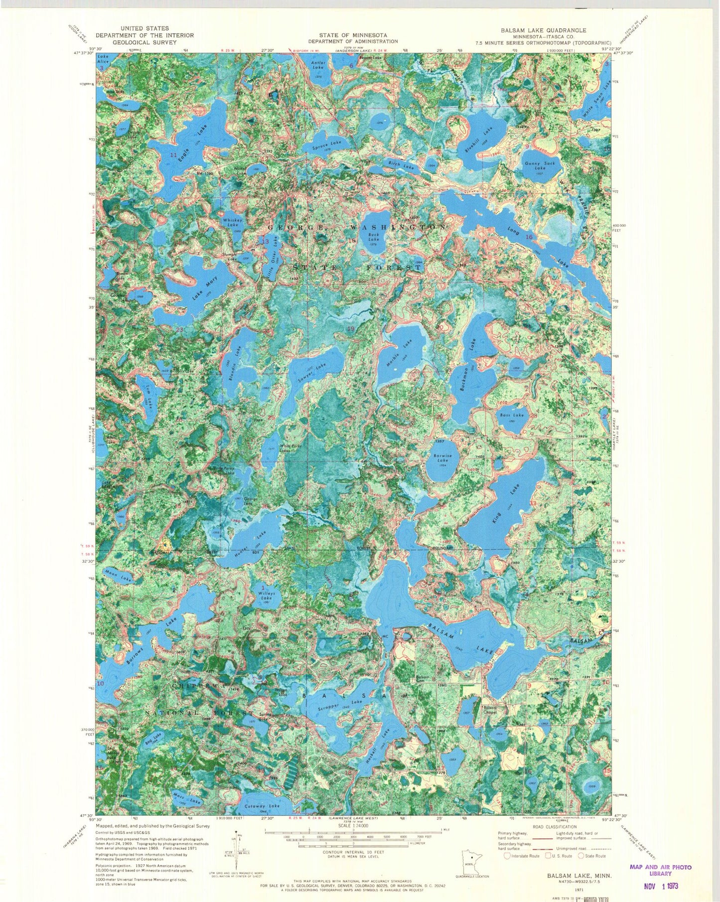
Classic USGS Balsam Lake Minnesota 7.5'x7.5' Topo Map
Couldn't load pickup availability
Historical USGS topographic quad map of Balsam Lake in the state of Minnesota. Map scale is 1:24000. Print size is approximately 24" x 27"
This quadrangle is in the following counties: Itasca.
The map contains contour lines, roads, rivers, towns, and lakes. Printed on high-quality waterproof paper with UV fade-resistant inks, and shipped rolled.
Contains the following named places: Balsam Cemetery, Balsam Chapel, Balsam Lake, Balsam Lake, Balsam Lake Dam, Barwise Lake, Bass Lake, Beaver Lake, Birch Lake, Blandin Lake, Bluebill Lake, Bog Lake, Bolduc Seaplane Base, Brown Lake, Buck Lake, Buckman Lake, Burrows Lake, Courtney Lake, Eagle Lake, George Lake, Gunny Sack Lake, Haskell Lake, Hunter Lake, King Lake, King Lake Group Lake Outlet Structure Dam, Lake Mary, Lincoln Lake, Little Otter Lake, Little Porky Lake, Long Lake, Lum Lake, Marble Lake, Marcell Experimental Forest, Marcell Experimental Forest, Moon Lake, Moss Lake, Nickel Lake, Sawyer Lake, Scrapper Lake, Spring Lake, Spruce Lake, Stumple Lake, Teigland Family Cemetery, Township of Balsam, Tubby Lake, Whiskey Lake, White Porky Lake, White Swan Lake, Willeys Lake, Wilson Lake