MyTopo
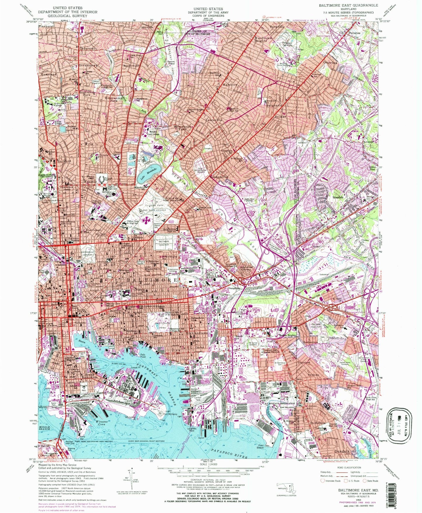
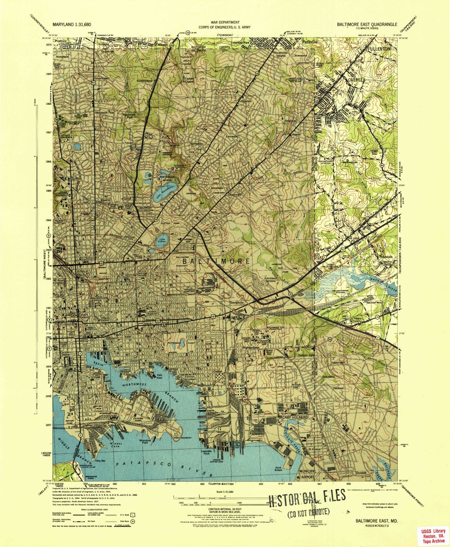
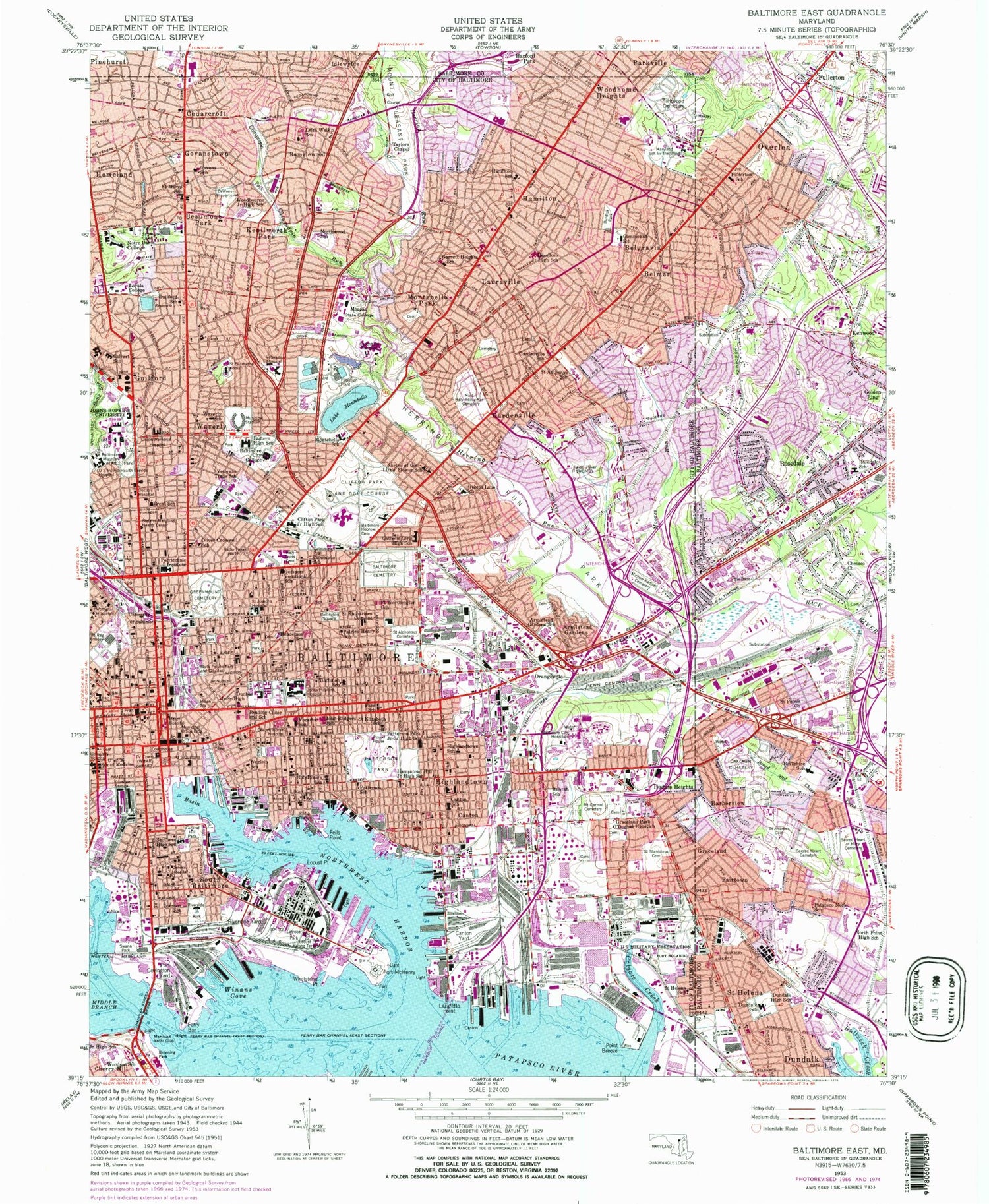
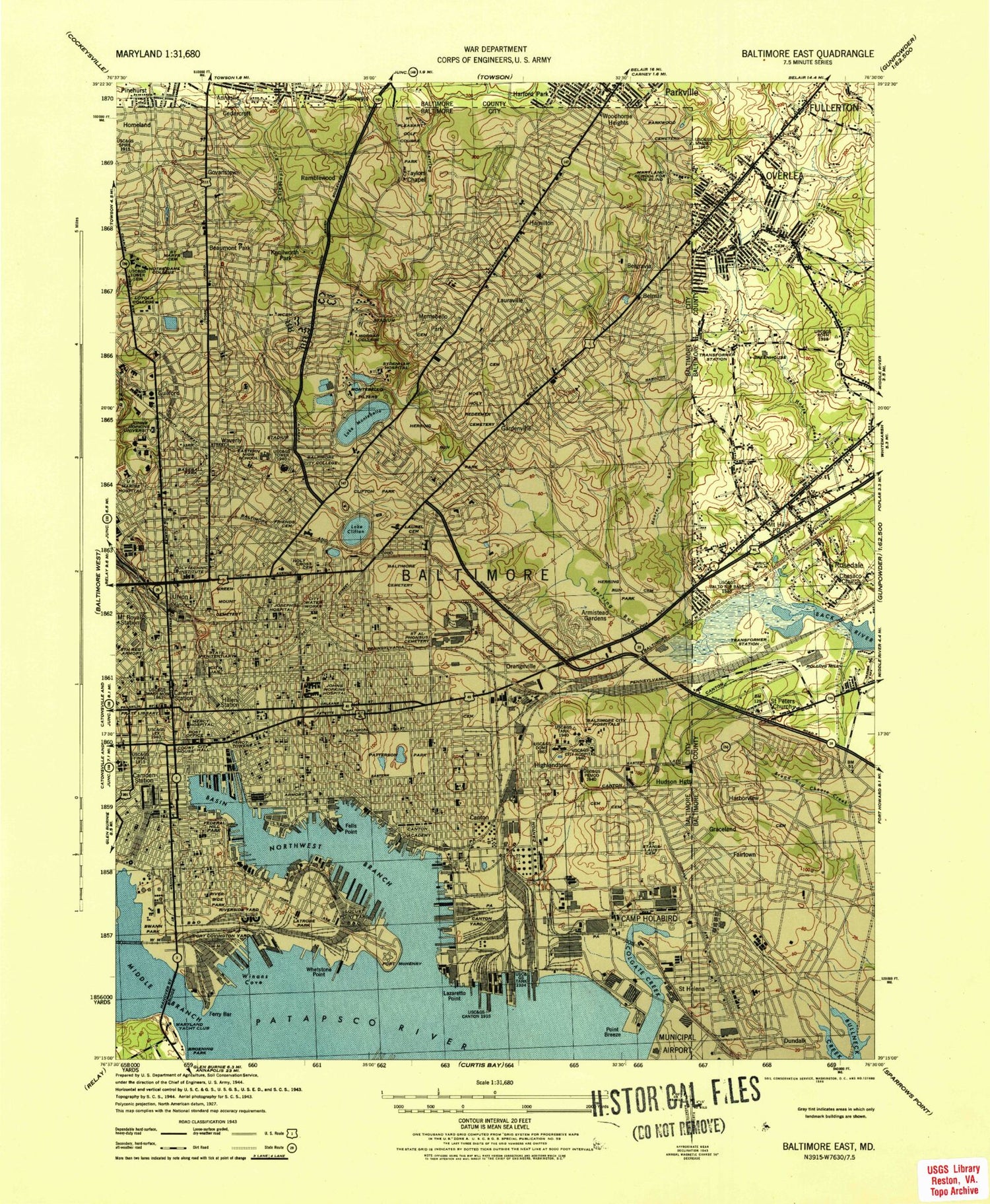
Classic USGS Baltimore East Maryland 7.5'x7.5' Topo Map
Couldn't load pickup availability
Historical USGS topographic quad map of Baltimore East in the state of Maryland. Typical map scale is 1:24,000, but may vary for certain years, if available. Print size: 24" x 27"
This quadrangle is in the following counties: Baltimore, Baltimore (city).
The map contains contour lines, roads, rivers, towns, and lakes. Printed on high-quality waterproof paper with UV fade-resistant inks, and shipped rolled.
Contains the following named places: Berkshire Elementary School, Chesaco Avenue United Methodist Church, Dundalk Middle School, Dundalk Elementary School, Fullerton Elementary School, North Point High School, Oaklawn Cemetery, Patapsco Neck Elementary School, Rosedale Center Middle / High School, Sacred Heart of Mary Cemetery, Sacred Heart of Jesus Cemetery, Saint Andrew Orthodox Church Cemetery, Saint Peters Church, West Channel, East Channel, Fort McHenry Angle, Seagirt Marine Terminal, Dundalk, Norwood Park, Fort Holabird (historical), Fullerton, Graceland, Harborview, Kenwood, Overlea, Pinehurst, Rosedale, Saint Helena, Belair Beltway Plaza Shopping Center, Belmar Park, Bluegrass Heights, Canton Industrial Park, Cedonia Park, Christ Evangelical Lutheran Church, Colgate, Colgate Elementary School, Colgate Recreation Area, Danville Square Shopping Center, Daybreak Estates, Defense Heights, Double Rock Park, Church of God at Dundalk, Dundalk Church of the Brethren, Community College of Baltimore County Dundalk, Dundalk Free Methodist Church, Dundalk Heritage Park, Dundalk Mobile Home Court, Dundalk Park, Dundalk Presbyterian Church, Dundalk High School, Dundalk Seventh Day Adventist Church, Dundalk United Methodist Church, Eastfield, Eastpoint, Eastpoint Mall Shopping Center, Eastwood Special School, Elmwood, Elmwood Elementary School, Emmanuel Baptist Church, Evangelical Lutheran Church of the Good Shepherd, Fairway Park, Fourteenth District Health Center, Fullerton Heights, Fullerton Park, Fullerton Plaza Shopping Center, Garden Village Park, Gardens of Faith Memorial Gardens, Gardenvillage Park, Grange Elementary School, Hamilton, Harbor View Park, Harford Park Lutheran Church, Hazelwood Park, High Point, Hillbrook, Holabird Middle School, Holland Hills, Holland Hills Park Church, Holt Park, Kenwood Park, Kenwood Presbyterian Church, Kenwood Shopping Center, Liberty Mobile Home Park, Linhigh, Linover Park, Logan Elementary School, Lutz Hill, McCormick Elementary School, Merritt Park Elementary School, Merritt Park Shopping Center, Merritt Point Park, Norwood Elementary School, Overlea High School, Overlea Middle School, Parktowne, Parkville Shopping Center, Pentecostal Church of God, Poplar Place Shopping Center, Prince of Peace Lutheran Church, Prospect Park (historical), Workmen's Circle Cemetery, Putty Hill Plaza Shopping Center, Red House Run Elementary School, Rollins View Green, Rosedale Industrial Park, Rosedale Plaza Shopping Center, Rosedale Terrace, Saint Catherine Laboure Hall, Saint Clement Mary Hofbauer Catholic Church, Saint Georges Episcopal Church, Saint Helena Park, Saint James Evangelical Lutheran Church, Saint Michaels Roman Catholic Church, Saint Peters Lutheran Church, Saint Ritas Roman Catholic Church, Saint Ritas School, Saint Timothys Evangelical Lutheran Church, Shady Spring Elementary School, Stab, Stanbrook, Stansbury Park, Talbot Shopping Center, Towns Center Shopping Center, United Hebrew Cemetery, Van Dyke Manor, Veterans Park, Weyburn Park, Fort McHenry National Monument and Historic Shrine, The Johns Hopkins Hospital Heliport, Baltimore Police Department Heliport, Armistead Gardens, Armistead Gardens Elementary / Middle School, Baltimore, Baltimore Cemetery, Baltimore City College, Johns Hopkins Bayview Medical Center, Baltimore Hebrew Cemetery, Baltimore Museum of Art, Beaumont Park, Belgravia, Belmar, Brehms Lane Elementary School, Margaret Brent Elementary / Middle School, Broening Park, Burdick Park, Calvert School, Camden Yards, Canton, Canton Middle School, Canton Yard, Cedarcroft, Chinquapin Park, Chinquapin Run, Church Home Hospital (historical), Clifton Park and Golf Course, Clifton Park Junior High School (historical), Colgate Creek, Collington Square, Columbus School, DeWees Playground, Doctors Hospital, Paul Laurence Dunbar Middle School, Eastern High School (historical), Federal Hill Park, Fells Point, Fell School, Ferry Bar, Ferry Bar Channel, Ferry Bar Channel, Fort Worthington Elementary / Middle School, Friends Cemetery, Gardenville, Gardenville Elementary School, Garrett Heights Elementary - Middle School, Glenmount Elementary / Middle School, Gompers Vocational School, Govans Elementary School, Govanstown, Graceland Park / O'Donnell Heights Elementary / Middle School, Greenmount Cemetery, Guilford, Guilford Elementary / Middle School, Hamilton, City Neighbors High School, Hamilton Elementary / Middle School, Hampstead Hill Academy, Hanover Street Bridge, Harbor Tunnel, Elmer A Henderson Elementary School, Herring Run, Herring Run Park, Highlandtown, Highlandtown Elementary / Middle School Number 215, Hillen Station, Holy Cross Cemetery (historical), Holy Rosary School, Homeland, Hudson Heights, Commodore John Rodgers Elementary / Middle School, Johns Hopkins Hospital, Johns Hopkins University, Thomas Johnson Elementary - Middle School, Jones Falls, Kenilworth Park, Latrobe Park, Lauraville, Lazaretto Point, Leith Walk Elementary / Middle School, Locust Point, Locust Point Marine Terminal, Loyola University Maryland, Maryland School for the Blind, Maryland Yacht Club, Mercy Medical Center, Mikro Kodesh Beth Israel Cemetery, Middle Branch Patapsco River, Montebello Park, Montebello Elementary / Middle School, Moores Run, Morgan State University, Most Holy Redeemer Cemetery, Mount Carmel Cemetery, Mount Pleasant Park, Northwest Harbor, Northwood Elementary School, Notre Dame, College of Notre Dame of Maryland, Oliver Cromwell School, Orangeville, William Paca Elementary School, Parkwood Cemetery, Patrick Henry School, Patterson Park, Hampstead Hill Middle School, Patterson School, Point Breeze


