MyTopo
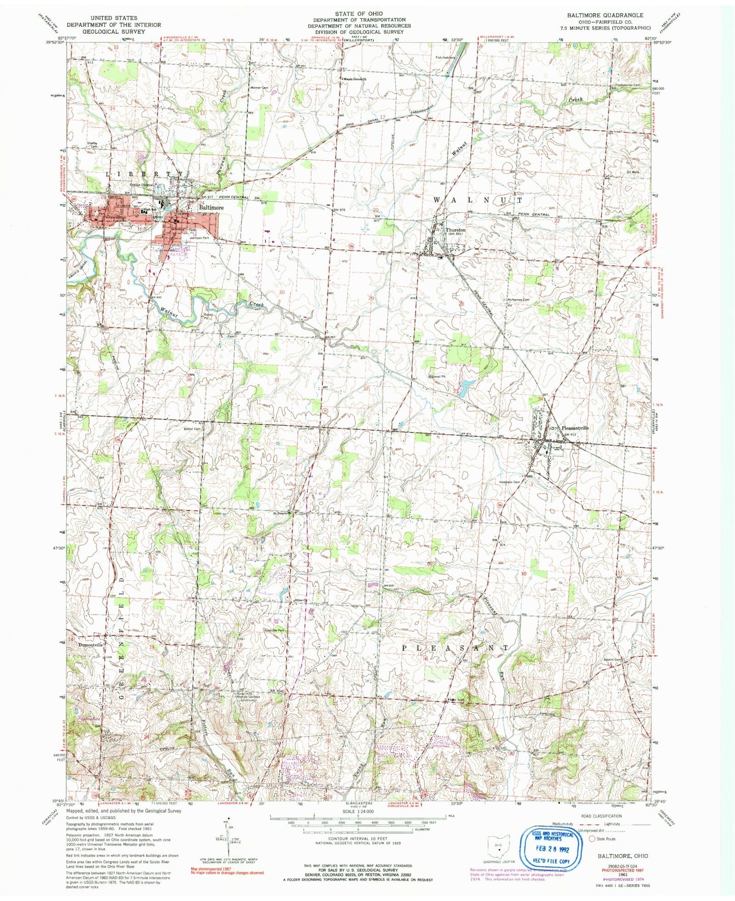
Classic USGS Baltimore Ohio 7.5'x7.5' Topo Map
Couldn't load pickup availability
Historical USGS topographic quad map of Baltimore in the state of Ohio. Map scale may vary for some years, but is generally around 1:24,000. Print size is approximately 24" x 27"
This quadrangle is in the following counties: Fairfield.
The map contains contour lines, roads, rivers, towns, and lakes. Printed on high-quality waterproof paper with UV fade-resistant inks, and shipped rolled.
Contains the following named places: Alt Park, Baltimore, Baltimore Campground, Baltimore Cemetery, Baltimore Police Department, Baltimore Post Office, Baltimore United Methodist Church, Baltimore Village Hall, Baptist Corners Cemetery, Basil Joint Fire District Station 610 Headquarters, Basil Memorial Cemetery, Baughman School, Bethel Cemetery, Dumontsville Cemetery, Dumontville, Dumontville Post Office, Dumontville United Methodist Church, Estate Golf Club, Fairfield Baptist Cemetery, Floral Hills Memory Gardens, Geiger Cemetery, Gideon Cemetery, Gideon United Brethren Church, Hampson Cemetery, Heistand Cemetery, Industry Air Park, Johnson Park, Kellers Court, Kilbarger Pond, Kilbarger Pond Dam, Kumler Cemetery, Liberty-Union High School, Liberty-Union Middle School, Living Word Assembly of God Church, Maple Grove Church, McNamee Cemetery, New Saint Peters Cemetery, Old Basil Cemetery, Old Saint Peters Cemetery, Old School Baptist Cemetery, Olive Church, PawPaw Creek, Pleasant Township Fire Department Station 570, Pleasant Township Fire Department Station 571, Pleasant Valley Golf Course, Pleasantville, Pleasantville Elementary School, Pleasantville Post Office, Ponderosa West Heliport, Pope School, Presbyterian Cemetery, Saint Peters United Church of Christ, Showley Weist Liberty Cemetery, Thurston, Thurston - Walnut Township Fire Department, Thurston Post Office, Township of Pleasant, Township of Walnut, Trinity United Church of Christ, Union Cemetery, Village of Baltimore, Village of Pleasantville, Village of Thurston, Warner Cemetery, Zeigler Cemetery, ZIP Codes: 43105, 43157


