MyTopo
Classic USGS Bancos Mesa New Mexico 7.5'x7.5' Topo Map
Couldn't load pickup availability
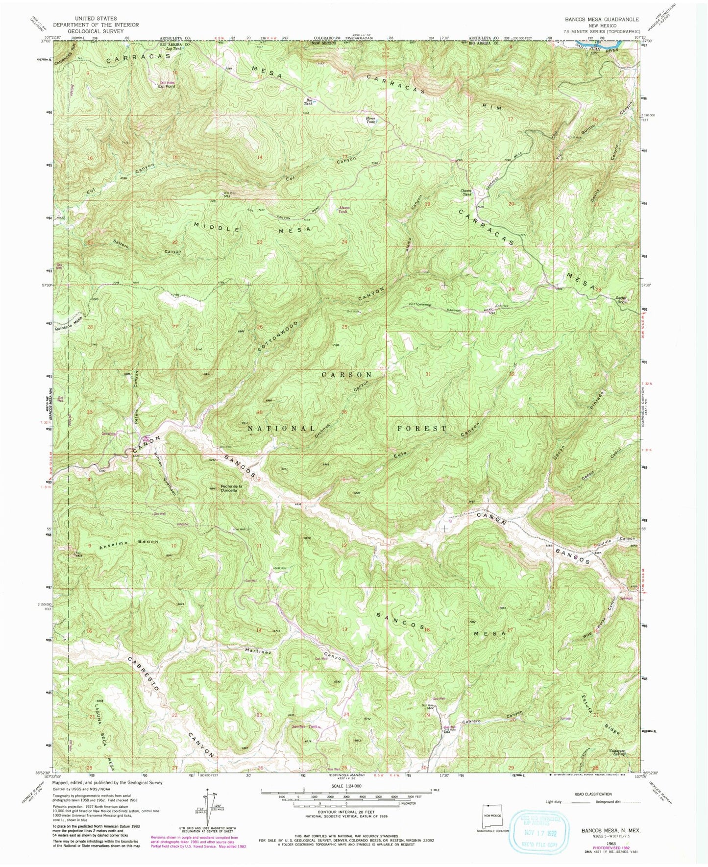
Historical USGS topographic quad map of Bancos Mesa in the state of New Mexico. Typical map scale is 1:24,000, but may vary for certain years, if available. Print size: 24" x 27"
This quadrangle is in the following counties: Rio Arriba.
The map contains contour lines, roads, rivers, towns, and lakes. Printed on high-quality waterproof paper with UV fade-resistant inks, and shipped rolled.
Contains the following named places: Alamo Canyon, Anselmo Bench, Bancos Mesa, Box Tank, Canon Cedro, Canon Pintado, Carracas Cemetery, Carracas Mesa, Carracas Rim, Cedar Rock, Chavez Tank, Cottonwood Canyon, Devils Canyon, Eul Point, Eula Canyon, Gurule Canyon, Horse Tank, Log Tank, Martinez Canyon, Middle Mesa, Orcones Canyon, Pecho de la Doncella, Peters Canyon, Quintana Mesa, Rincon Quemado, Saltero Canyon, Velasquez Spring, Wild Horse Canyon, Sanchez Tank, Alamo Tank


