MyTopo
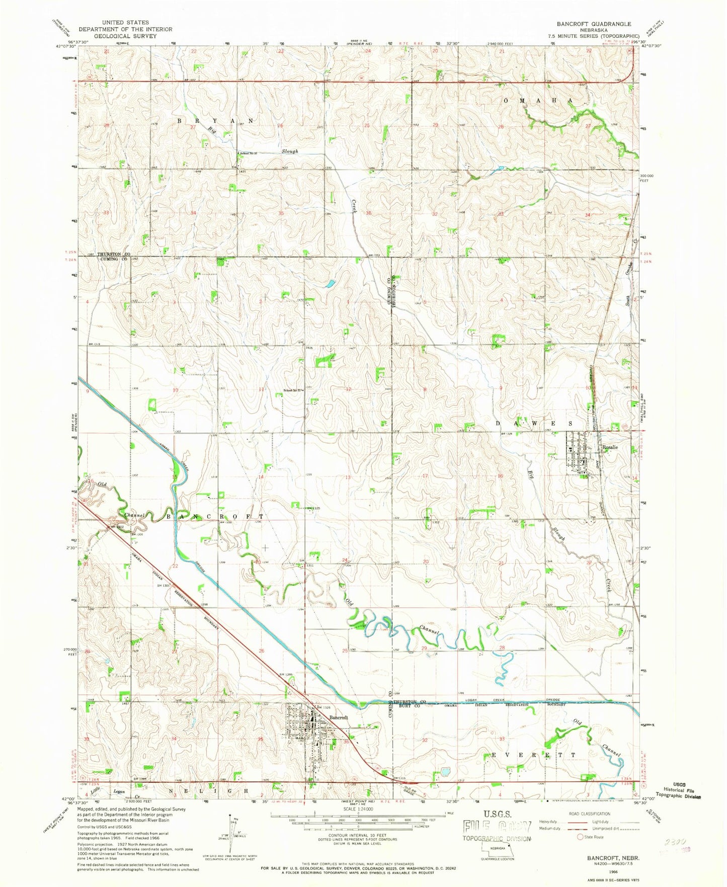
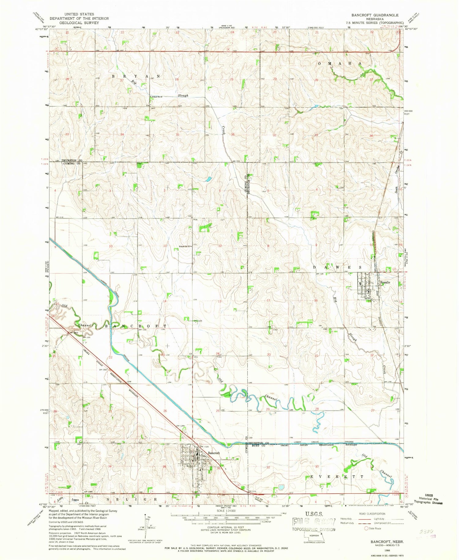
Classic USGS Bancroft Nebraska 7.5'x7.5' Topo Map
Couldn't load pickup availability
Historical USGS topographic quad map of Bancroft in the state of Nebraska. Map scale may vary for some years, but is generally around 1:24,000. Print size is approximately 24" x 27"
This quadrangle is in the following counties: Burt, Cuming, Thurston.
The map contains contour lines, roads, rivers, towns, and lakes. Printed on high-quality waterproof paper with UV fade-resistant inks, and shipped rolled.
Contains the following named places: Bancroft, Bancroft Historical Marker, Bancroft Medical Clinic, Bancroft Park, Bancroft Park Campground, Bancroft Police Department, Bancroft Post Office, Bancroft Public Library, Bancroft Rural Volunteer Fire and Rescue, Bancroft-Rosalie Community School, Bancroft-Rosalie Community Schools, Big Slough Creek, Farmers Elevator Company Incorporated Elevator, Holy Cross Catholic Church, Immanuel Evangelical Lutheran Church, John G Neihardt Center, John G Neihardt Center Historical Marker, John G Neihardt State Historic Site, John G Neihardt Study Historical Marker, Omaha Reservation, Presbyterian Church, Rosalie, Rosalie Post Office, Rosalie Volunteer Fire Department, Saint Pauls Lutheran Church, School Number 10, School Number 72, Sioux Prayer Garden, Township of Bancroft, Village of Bancroft, Village of Rosalie, ZIP Code: 68004