MyTopo
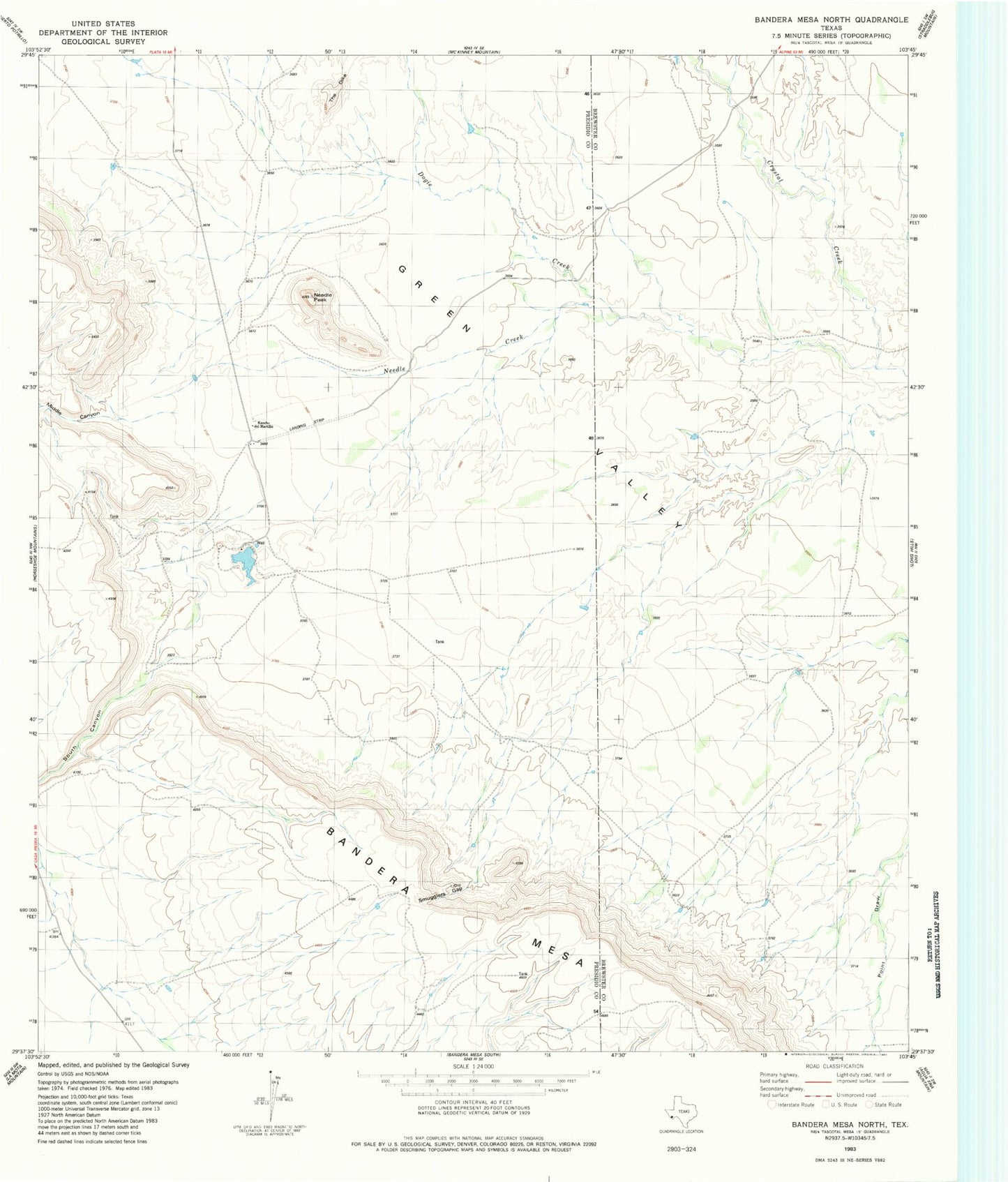
Classic USGS Bandera Mesa North Texas 7.5'x7.5' Topo Map
Regular price
$16.95
Regular price
Sale price
$16.95
Unit price
per
Couldn't load pickup availability
Historical USGS topographic quad map of Bandera Mesa North in the state of Texas. Map scale may vary for some years, but is generally around 1:24,000. Print size is approximately 24" x 27"
This quadrangle is in the following counties: Brewster, Presidio.
The map contains contour lines, roads, rivers, towns, and lakes. Printed on high-quality waterproof paper with UV fade-resistant inks, and shipped rolled.
Contains the following named places: Cotters Ranch, Dogie Creek, Fowlkes Ranch Lake, Fowlkes Ranch Lake Dam, Middle Canyon, Needle Creek, Needle Peak, Rooney Ranch, Seminole Trail, Smugglers Gap, South Canyon, The Dike