MyTopo
Classic USGS Banks Alabama 7.5'x7.5' Topo Map
Couldn't load pickup availability
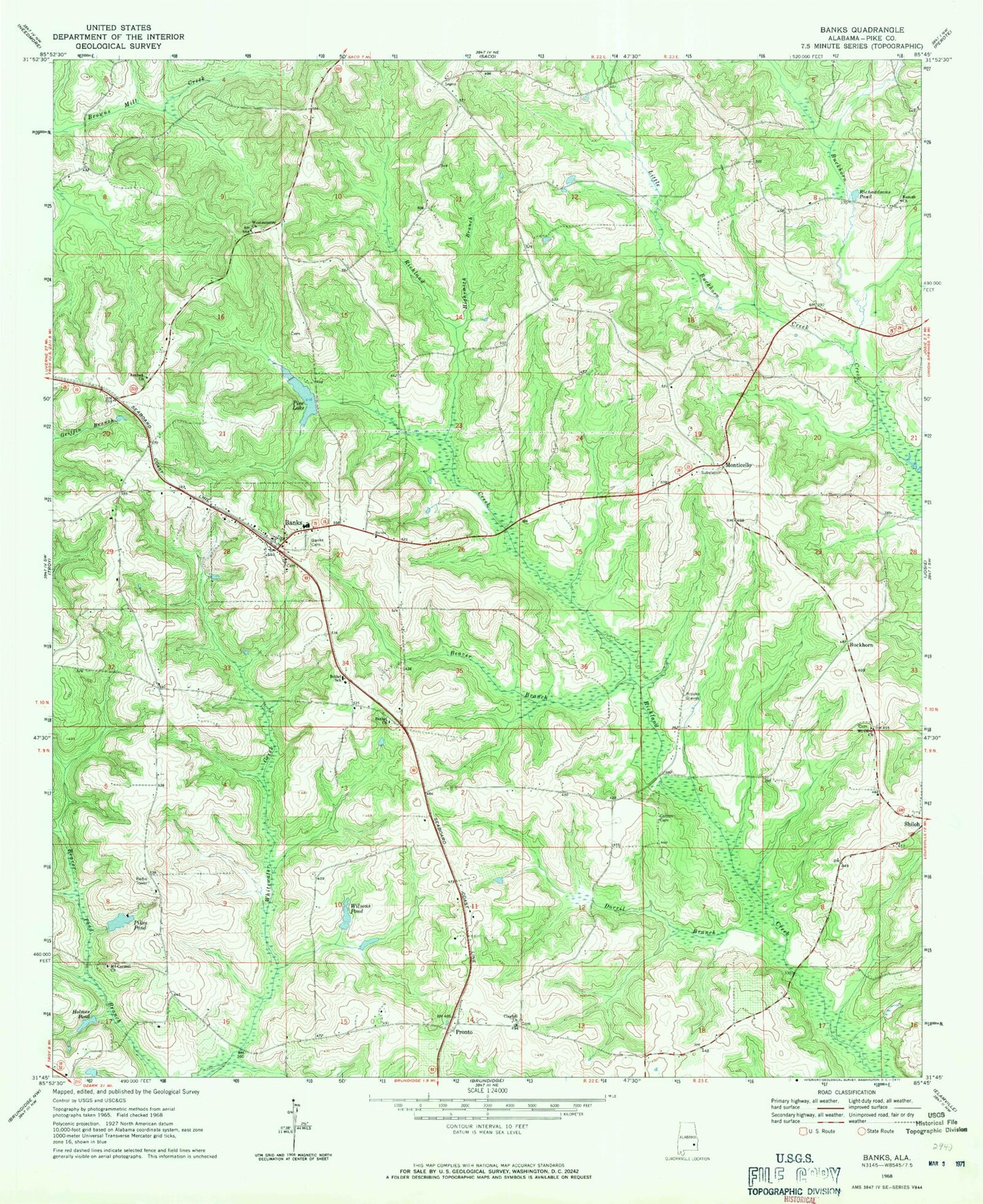
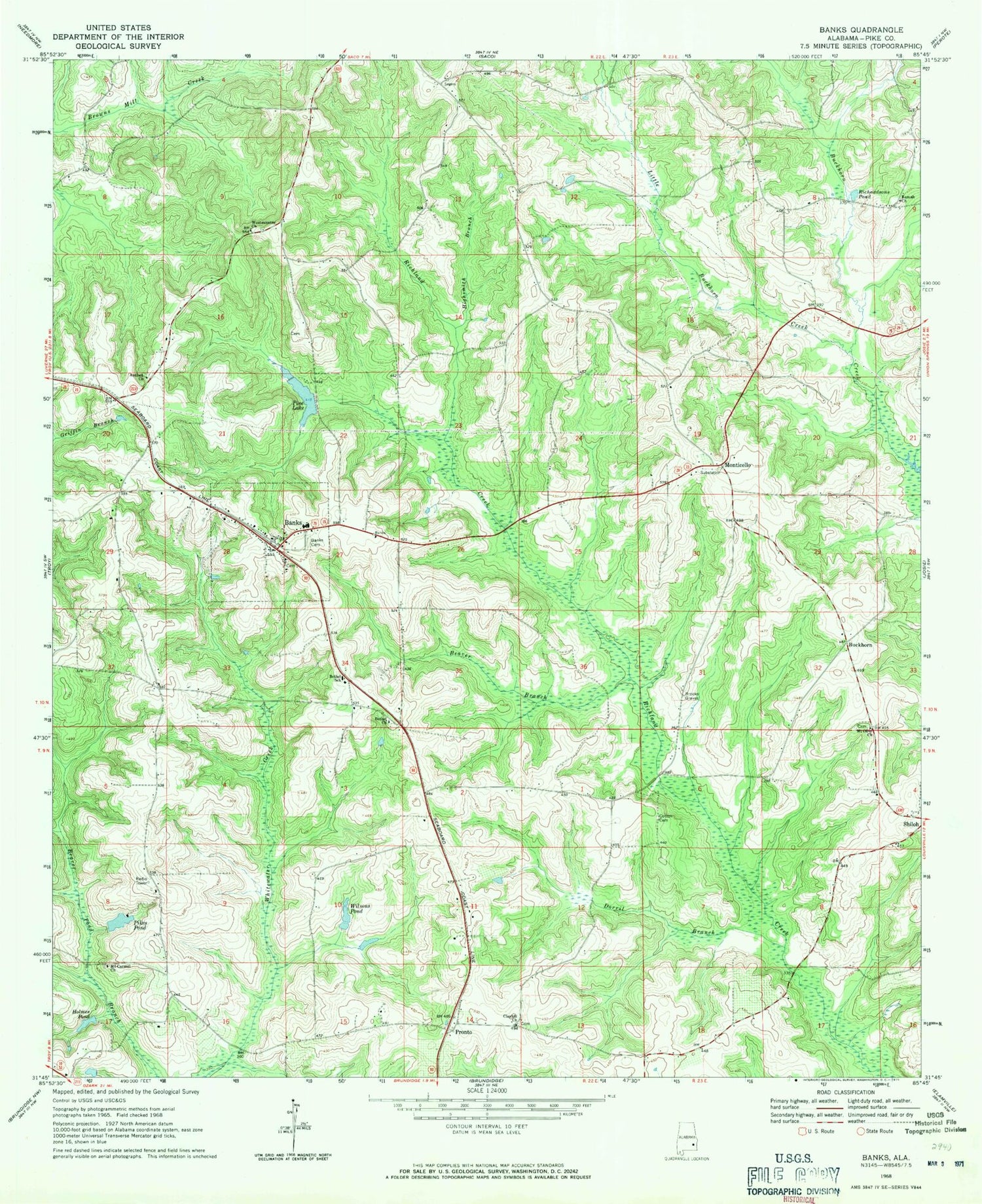
Historical USGS topographic quad map of Banks in the state of Alabama. Map scale may vary for some years, but is generally around 1:24,000. Print size is approximately 24" x 27"
This quadrangle is in the following counties: Pike.
The map contains contour lines, roads, rivers, towns, and lakes. Printed on high-quality waterproof paper with UV fade-resistant inks, and shipped rolled.
Contains the following named places: Alexander Cemetery, Antioch Cemetery, Antioch Church, Banks, Banks Cemetery, Banks Junior High School, Banks Post Office, Banks Volunteer Fire Department Station 1, Banks-Josie Division, Beaver Branch, Bethel Academy, Bethel Baptist Church, Bethel Cemetery, Bethel School, Beulah Hill Baptist Church, Brooks Graves, Buckhorn, Carmel Church, Clayhill Church, Cotton Cemetery, Devil Neck, Dorril Branch, Foy Ingram Dam, Foy Ingram Pond, Highsmith Branch, Hollis School, Holmes Pond, Hussey Cemetery, Jerusalem Campground, Little Buckhorn Creek, Militant Pillar Ground of Truth Church, Monticello, Monticello Church, Mount Carmel Church, Mount Olive Church, Old Dothan Cemetery, Ousley Branch, Pea River Post Office, Pikes Pond, Pine Lake, Pronto, Ramah Church, Richardsons Pond, Saint Martin Catholic Church, Sorrell Lake Dam, Sweet Pilgrim Church, Town of Banks, Westminster Church, Wilson Cemetery, Wilsons Pond


