MyTopo
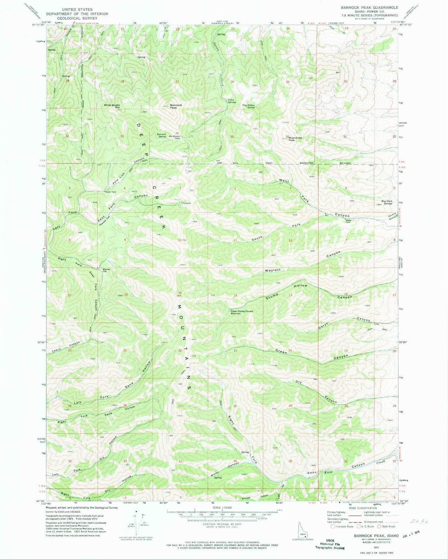
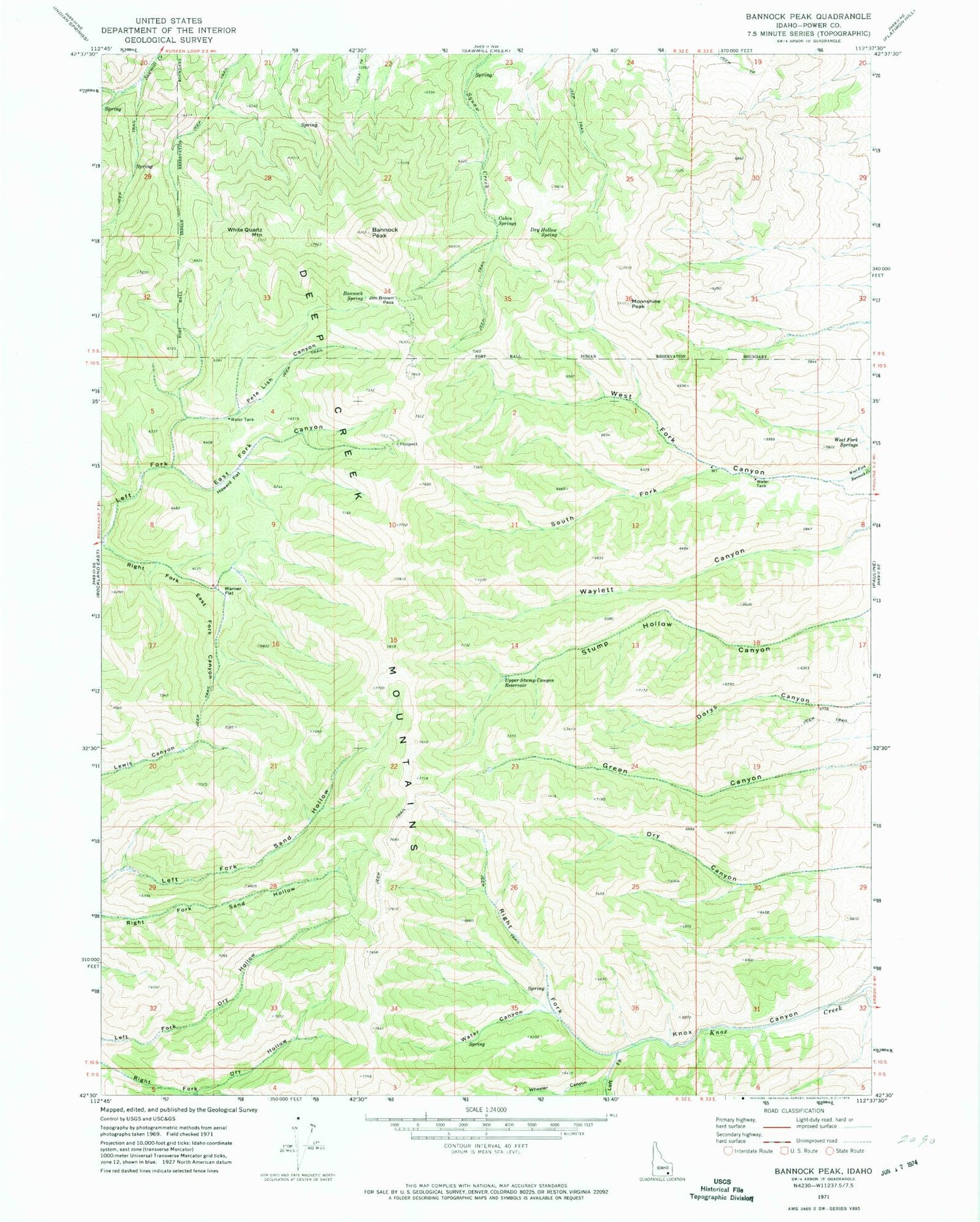
Classic USGS Bannock Peak Idaho 7.5'x7.5' Topo Map
Couldn't load pickup availability
Historical USGS topographic quad map of Bannock Peak in the state of Idaho. Map scale may vary for some years, but is generally around 1:24,000. Print size is approximately 24" x 27"
This quadrangle is in the following counties: Power.
The map contains contour lines, roads, rivers, towns, and lakes. Printed on high-quality waterproof paper with UV fade-resistant inks, and shipped rolled.
Contains the following named places: Bannock Peak, Bannock Spring, Cabin Springs, Dry Hollow Spring, Howard Flat, Jim Brown Pass, Left Fork Knox Canyon, Moonshine Peak, Pete Lish Canyon, Right Fork East Fork Canyon, Right Fork Knox Canyon, South Fork West Fork Canyon, Upper Stump Canyon Reservoir, Warner Flat, Water Canyon, West Fork Springs, Wheeler Canyon, White Quartz Mountain