MyTopo
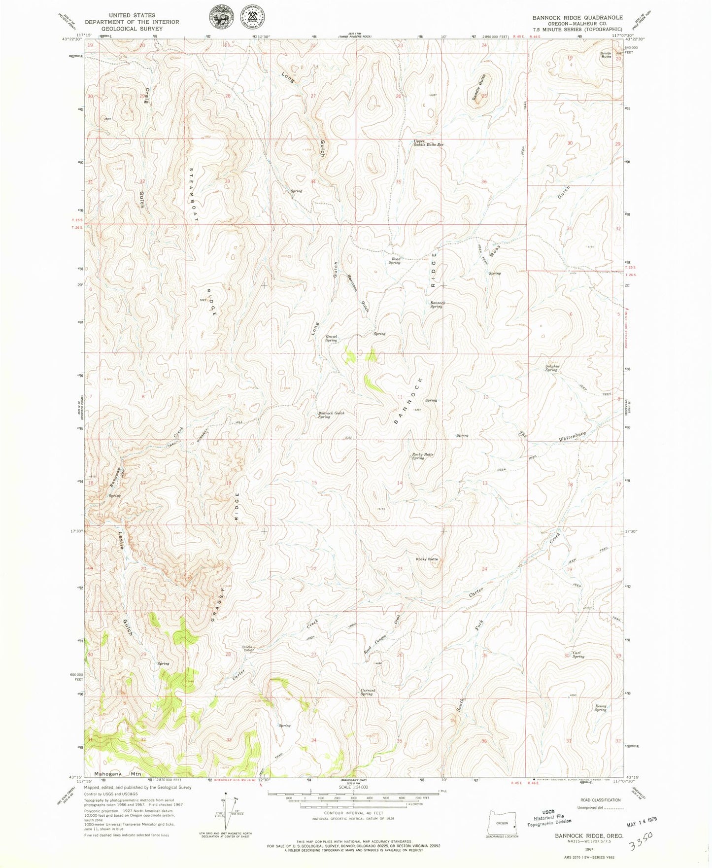
Classic USGS Bannock Ridge Oregon 7.5'x7.5' Topo Map
Couldn't load pickup availability
Historical USGS topographic quad map of Bannock Ridge in the state of Oregon. Map scale may vary for some years, but is generally around 1:24,000. Print size is approximately 24" x 27"
This quadrangle is in the following counties: Malheur.
The map contains contour lines, roads, rivers, towns, and lakes. Printed on high-quality waterproof paper with UV fade-resistant inks, and shipped rolled.
Contains the following named places: Bannock Gulch, Bannock Gulch Spring, Bannock Ridge, Bannock Spring, Brooks Cabin, Carl Spring, Currant Spring, Grassy Ridge, Gravel Spring, Kenny Spring, Road Canyon Creek, Road Spring, Rocky Butte, Rocky Butte Spring, Runaway Hill, Saddle Butte, Smith Butte, South Fork Carter Creek, Steamboat Ridge, Sulphur Spring, Upper Saddle Butte Reservoir