MyTopo
Classic USGS Bar N Draw Wyoming 7.5'x7.5' Topo Map
Couldn't load pickup availability
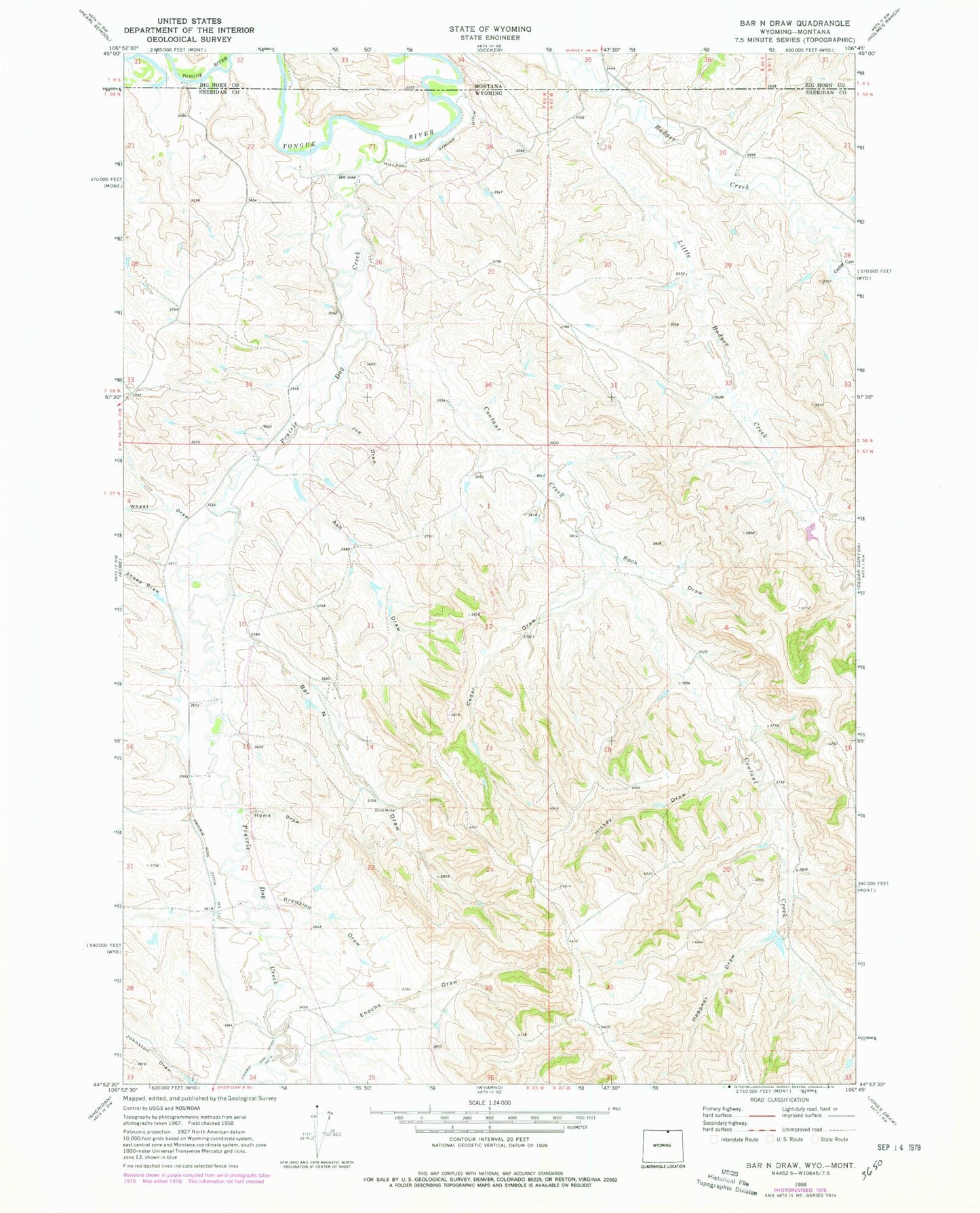
Historical USGS topographic quad map of Bar N Draw in the state of Wyoming. Map scale may vary for some years, but is generally around 1:24,000. Print size is approximately 24" x 27"
This quadrangle is in the following counties: Big Horn, Sheridan.
The map contains contour lines, roads, rivers, towns, and lakes. Printed on high-quality waterproof paper with UV fade-resistant inks, and shipped rolled.
Contains the following named places: Ash Draw, Badger Creek Mine, Bar N Draw, Carneyville Mine, Cedar Canyon, Cedar Draw, Coutant Creek, Enochs Draw, Evans Mine, Gorman Number 2 Dam, Gorman Reservoir Number 2, Heppner Draw, Hickey Draw, Home Draw, Joe Draw, Krenzien Draw, Little Badger Creek, Prairie Dog Creek, Prairie Dog Ditch Number 13, Prairie Dog Ditch Number 14, Rock Draw, Sheep Draw, Wheat Draw