MyTopo
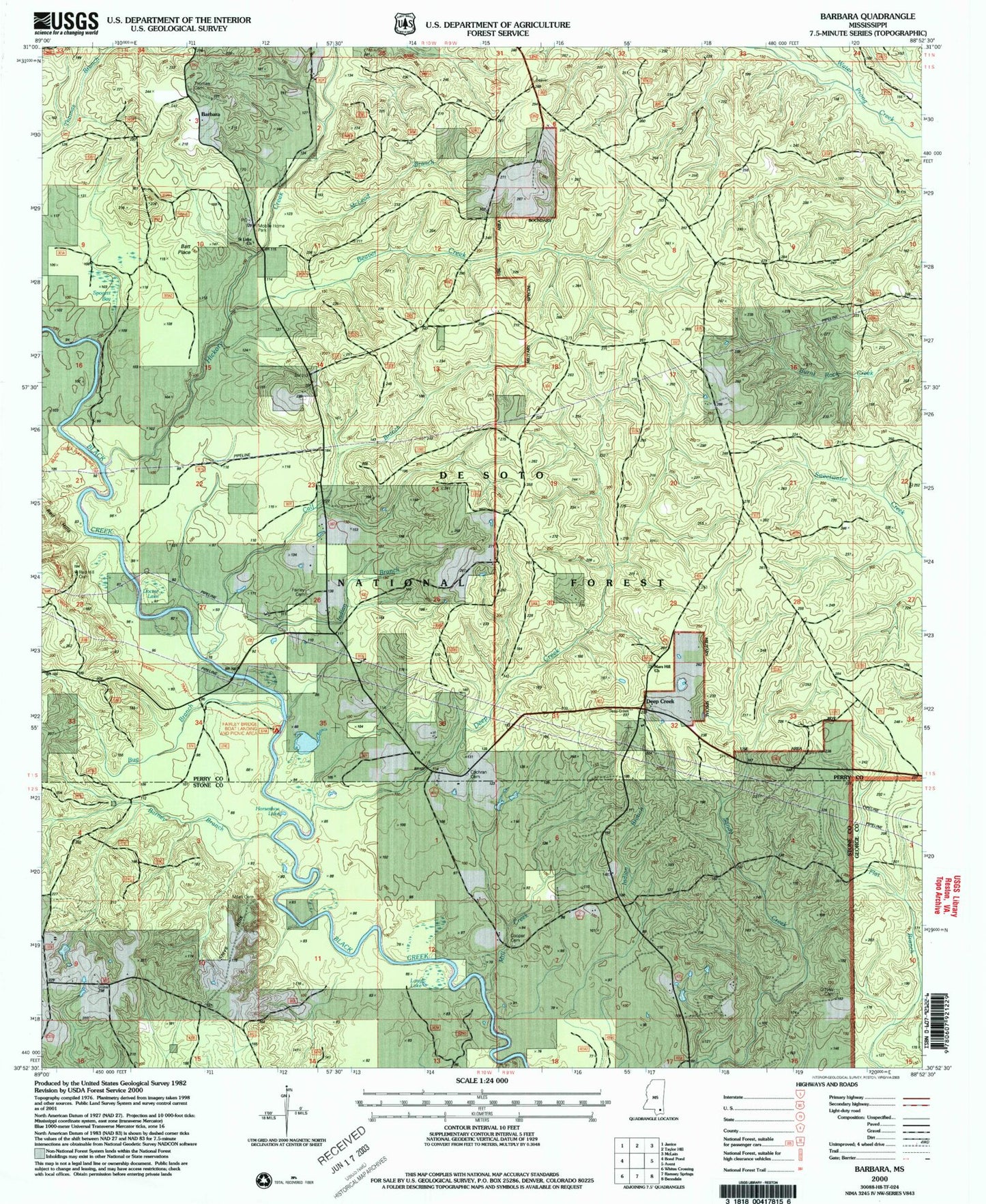
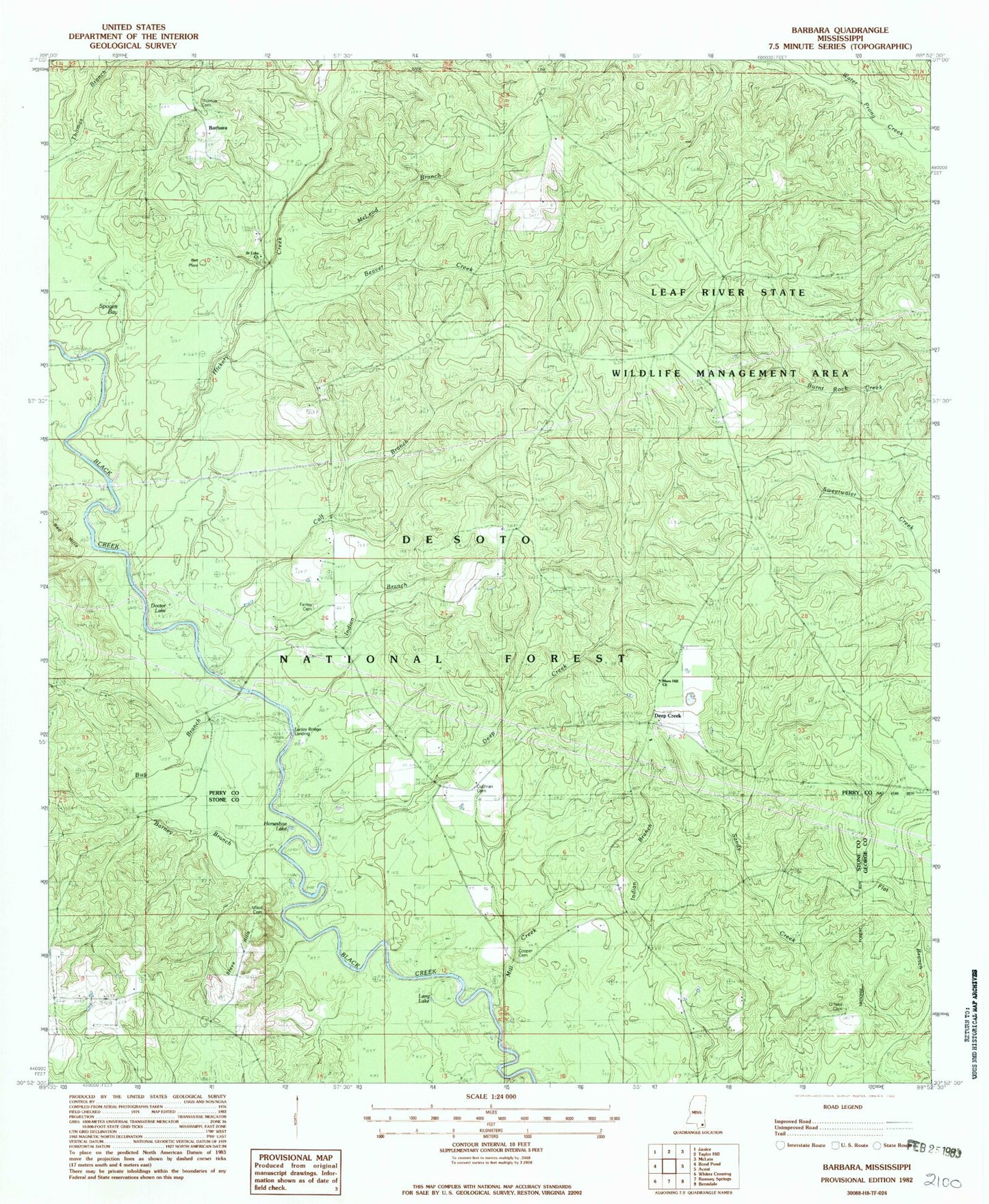
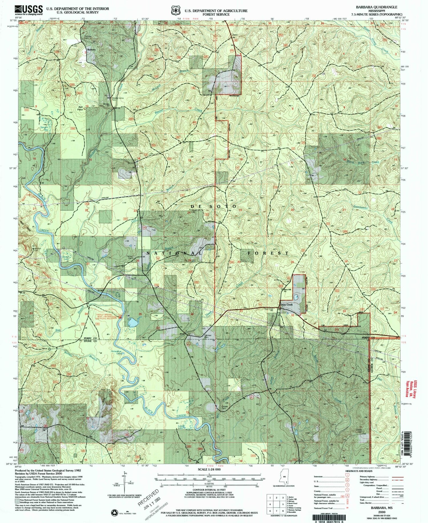
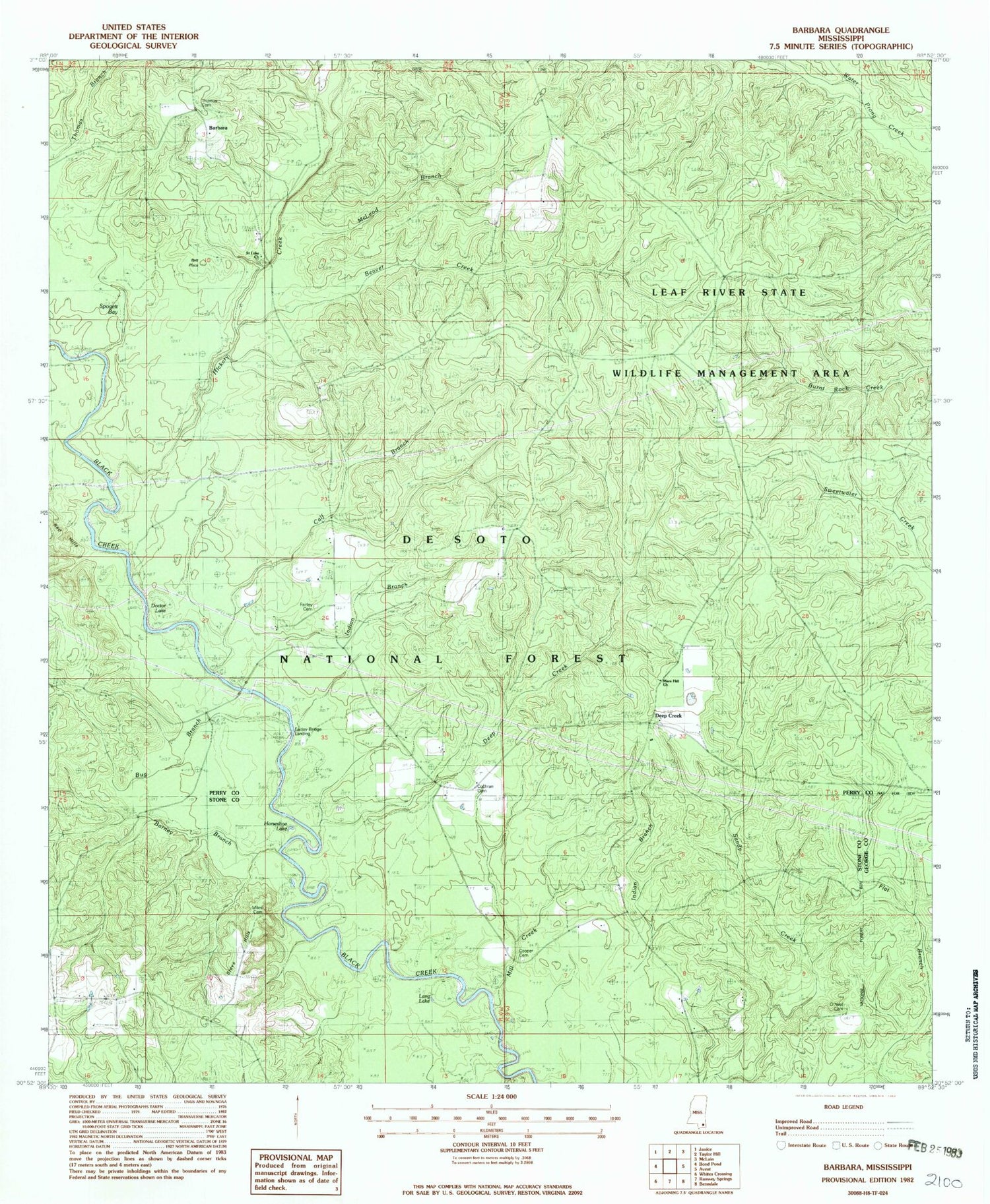
Classic USGS Barbara Mississippi 7.5'x7.5' Topo Map
Couldn't load pickup availability
Historical USGS topographic quad map of Barbara in the state of Mississippi. Typical map scale is 1:24,000, but may vary for certain years, if available. Print size: 24" x 27"
This quadrangle is in the following counties: George, Perry, Stone.
The map contains contour lines, roads, rivers, towns, and lakes. Printed on high-quality waterproof paper with UV fade-resistant inks, and shipped rolled.
Contains the following named places: McLeod Branch, Barbara, Barney Branch, Batt Place, Beaver Creek, Bug Branch, Calf Branch, Cooper Cemetery, Deep Creek, Deep Creek, Doctor Lake, Fairley Cemetery, Hickory Creek, Horseshoe Lake, Indian Branch, Lang Lake, Mars Hill Church, Miles Cemetery, Mill Creek, O'Neal Cemetery, Saint Luke Church, Steve Hills, Thomas Cemetery, Cochran Cemetery, Deep Creek School (historical), Fairley Bridge Landing, Red Hill Cemetery, Fairley Bridge Landing Recreation Area, Fairly Bridge Landing


