MyTopo
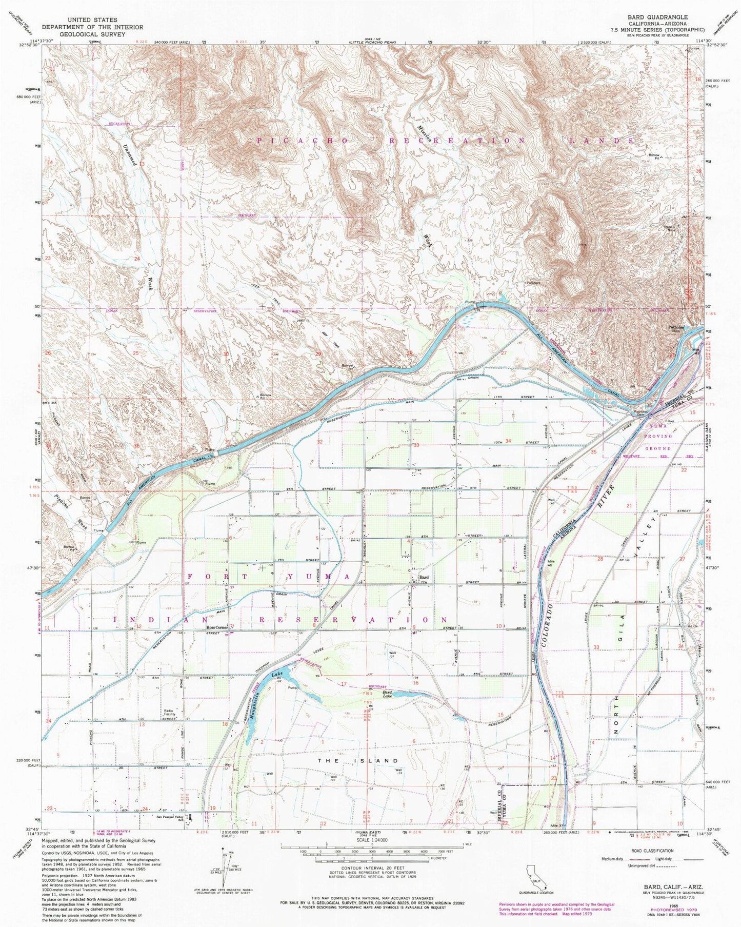
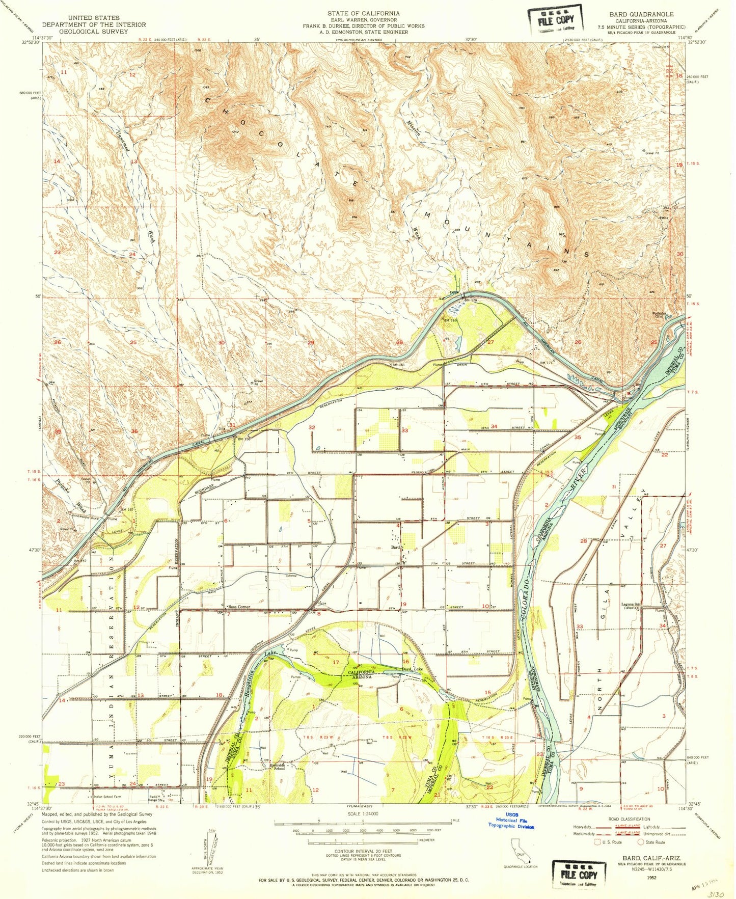
Classic USGS Bard California 7.5'x7.5' Topo Map
Couldn't load pickup availability
Historical USGS topographic quad map of Bard in the states of California, Arizona. Map scale may vary for some years, but is generally around 1:24,000. Print size is approximately 24" x 27"
This quadrangle is in the following counties: Imperial, Yuma.
The map contains contour lines, roads, rivers, towns, and lakes. Printed on high-quality waterproof paper with UV fade-resistant inks, and shipped rolled.
Contains the following named places: Bard, Bard Lake, Bard Post Office, Cocopah Canal, Haughtelin Lake, McPherson Canal, Mission Wash, Mohave Lateral, North Gila Drain, North Gila Main Canal, Picacho Wash, Potholes, Potholes Cemetery, Reservation Levee, Reservation Main Canal, Reservation Main Drain, Ross Corner, San Dionysio, The Island, Three C Mine, Unnamed Wash, Winterhaven-Bard Division, ZIP Code: 92222