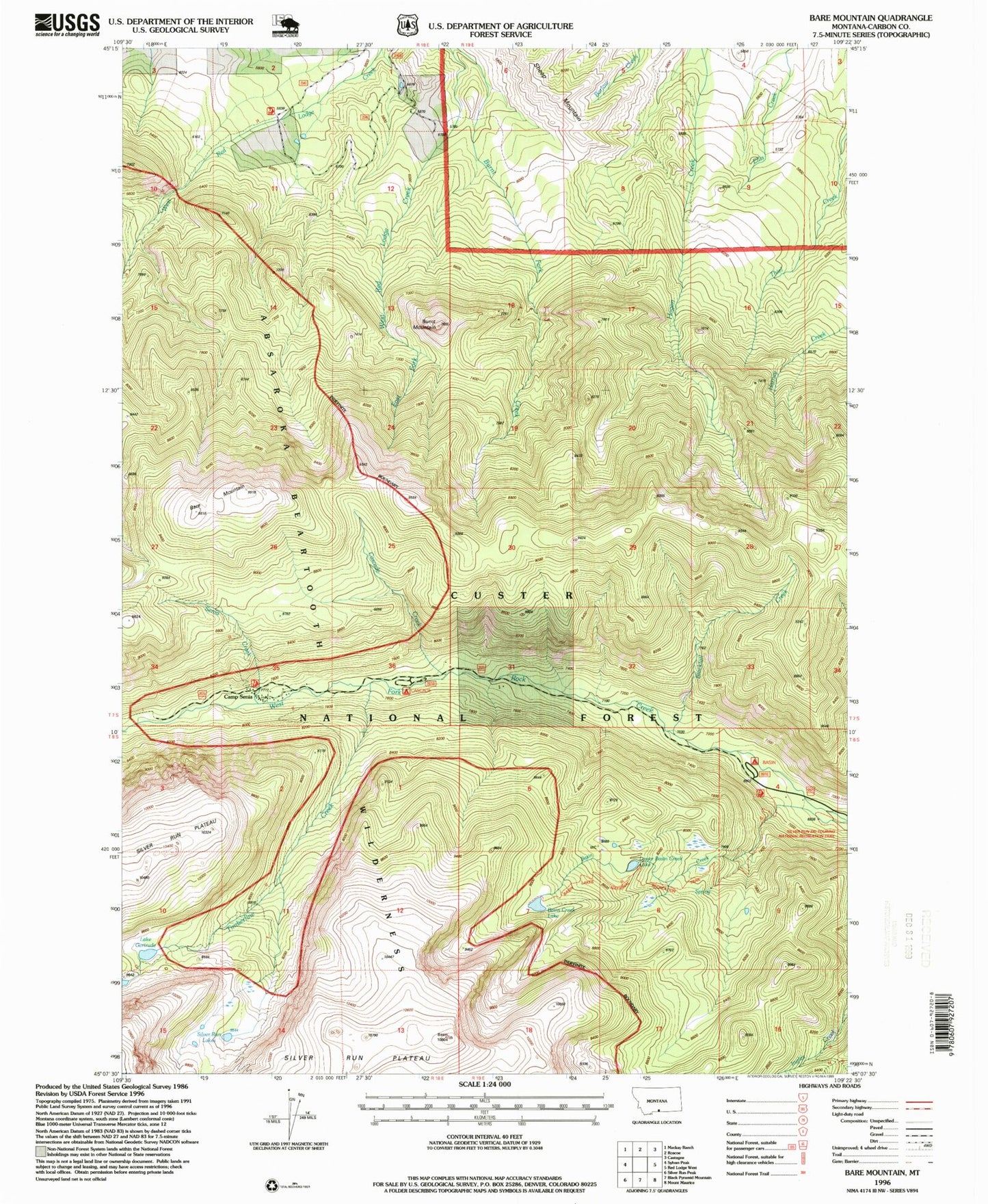
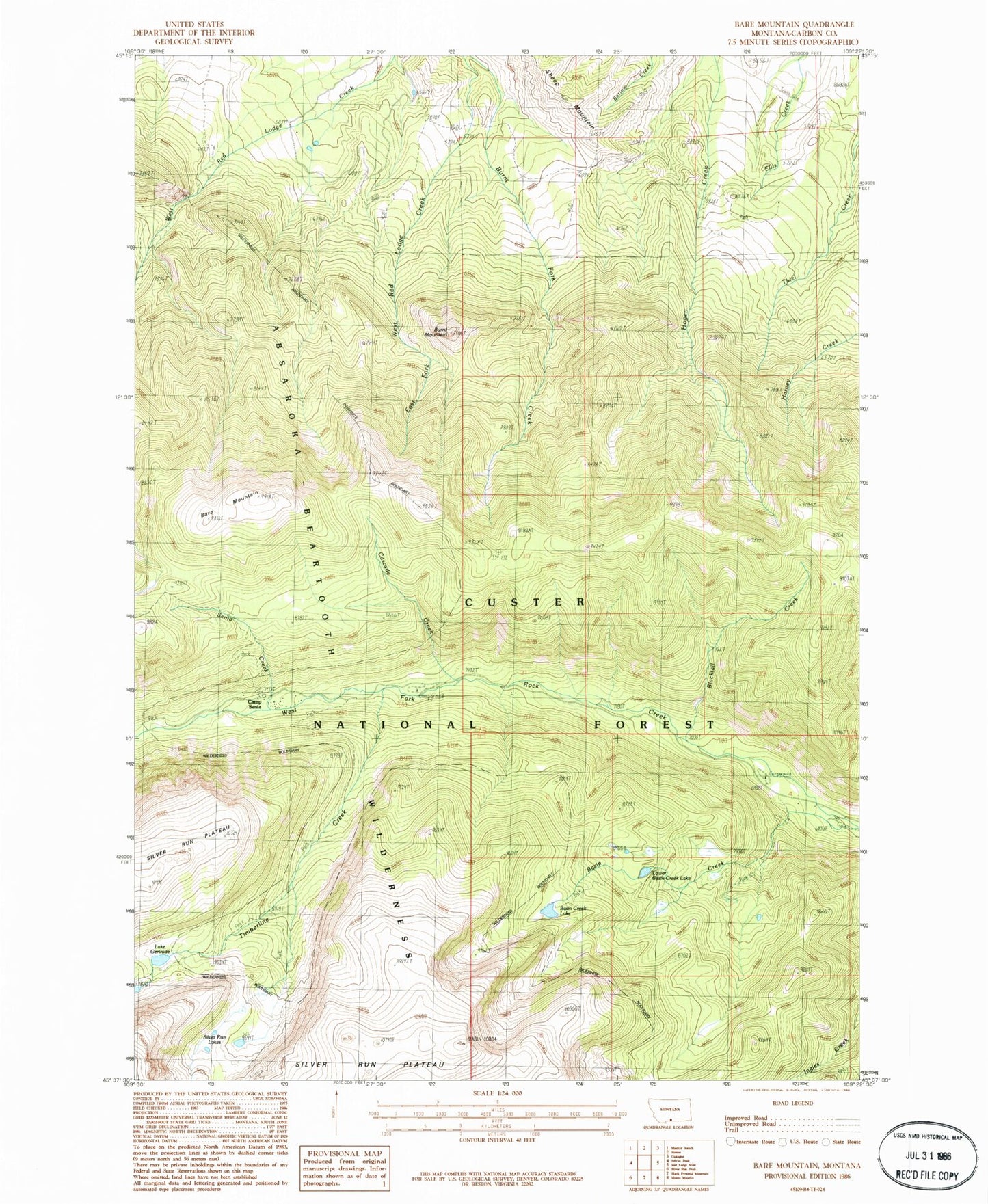
MyTopo
Classic USGS Bare Mountain Montana 7.5'x7.5' Topo Map
Couldn't load pickup availability
Historical USGS topographic quad map of Bare Mountain in the state of Montana. Typical map scale is 1:24,000, but may vary for certain years, if available. Print size: 24" x 27"
This quadrangle is in the following counties: Carbon.
The map contains contour lines, roads, rivers, towns, and lakes. Printed on high-quality waterproof paper with UV fade-resistant inks, and shipped rolled.
Contains the following named places: Bare Mountain, Basin Campground, Basin Creek Lake, Blacktail Creek, Bots Sots Campground, Burnt Mountain, Camp Senia, Cascade Campground, Cascade Creek, Lake Gertrude, Nelson Campground, Senia Creek, Sheep Mountain, Timberline Creek, Silver Run Lakes, Lower Basin Creek Lake, Red Lodge Division