MyTopo
Classic USGS Barkman Texas 7.5'x7.5' Topo Map
Couldn't load pickup availability
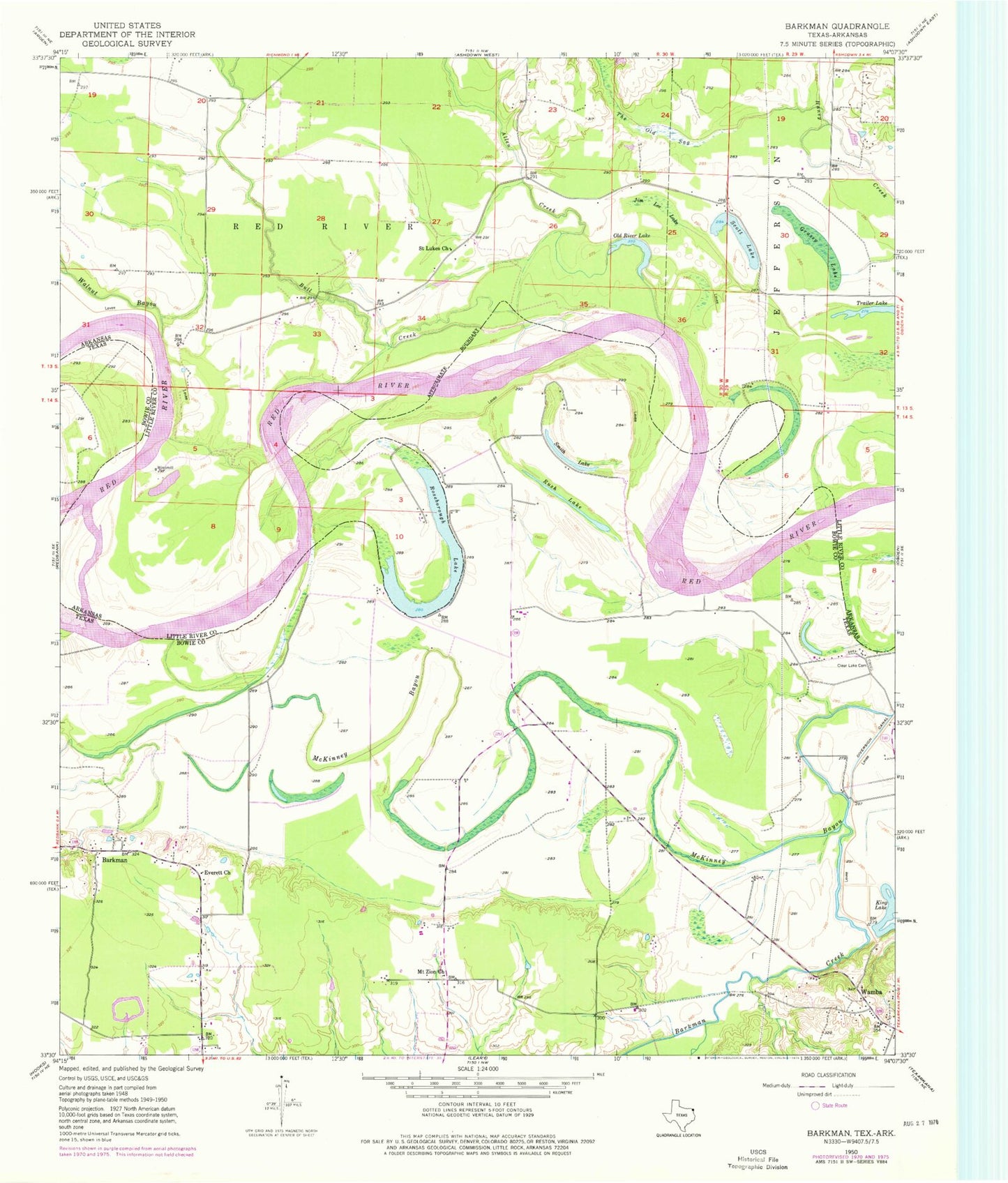
Historical USGS topographic quad map of Barkman in the states of Texas, Arkansas. Map scale may vary for some years, but is generally around 1:24,000. Print size is approximately 24" x 27"
This quadrangle is in the following counties: Bowie, Little River.
The map contains contour lines, roads, rivers, towns, and lakes. Printed on high-quality waterproof paper with UV fade-resistant inks, and shipped rolled.
Contains the following named places: Allen Creek, Barkman, Barkman Creek, Bull Creek, Clear Lake Cemetery, Everett Church, Grassy Lake, Jim Lee Lake, King Lake, Mount Zion Church, Murl Branch, Old River Lake, Pine Prairie, Red Bank, Roseborough Lake, Rush Lake, Saint Luke Baptist Church, Saint Lukes Cemetery, Scott Lake, Smith Lake, The Old Sag, Township of Red River, Trailer Lake, Walnut Bayou, Wamba, ZIP Code: 75503