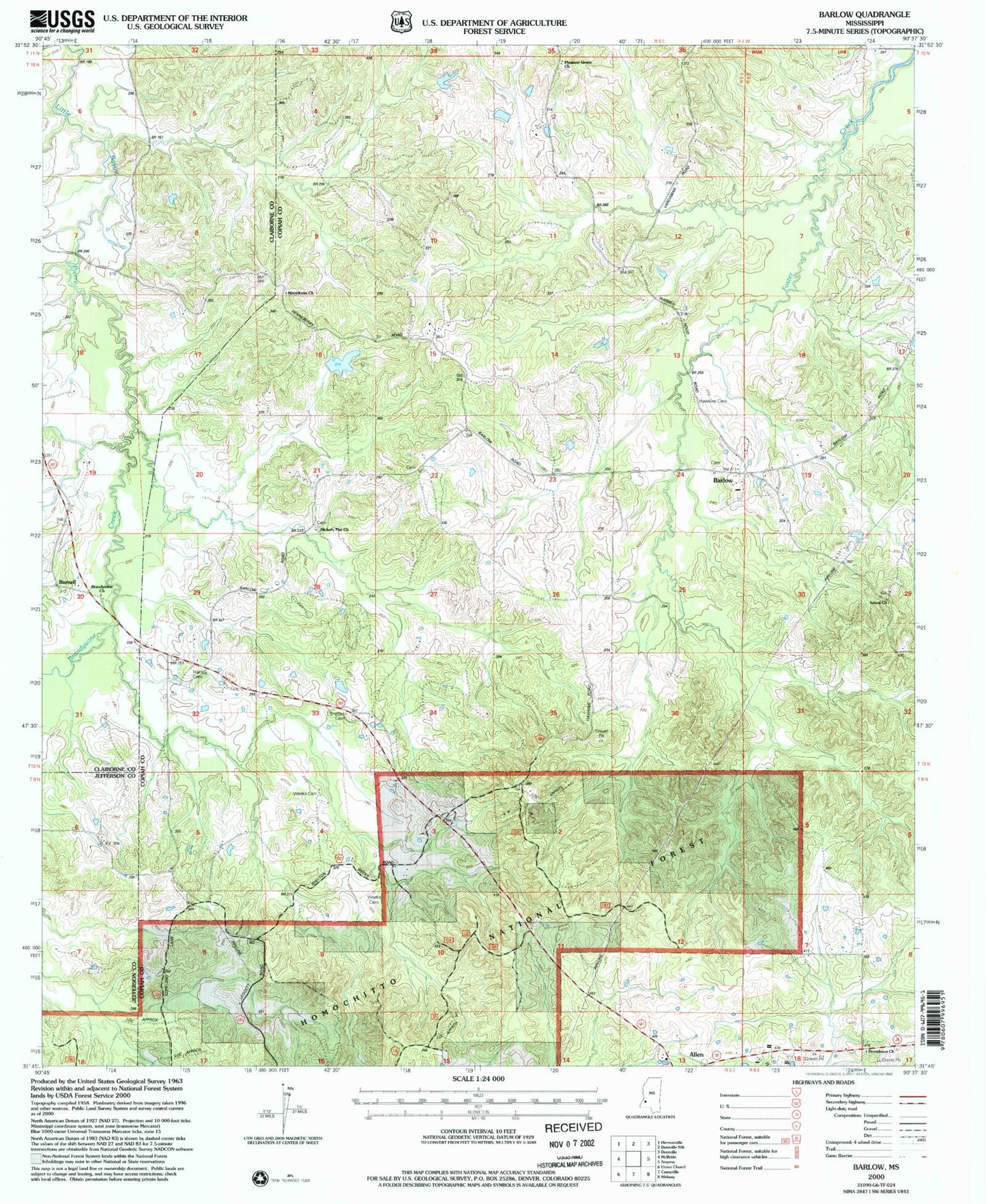
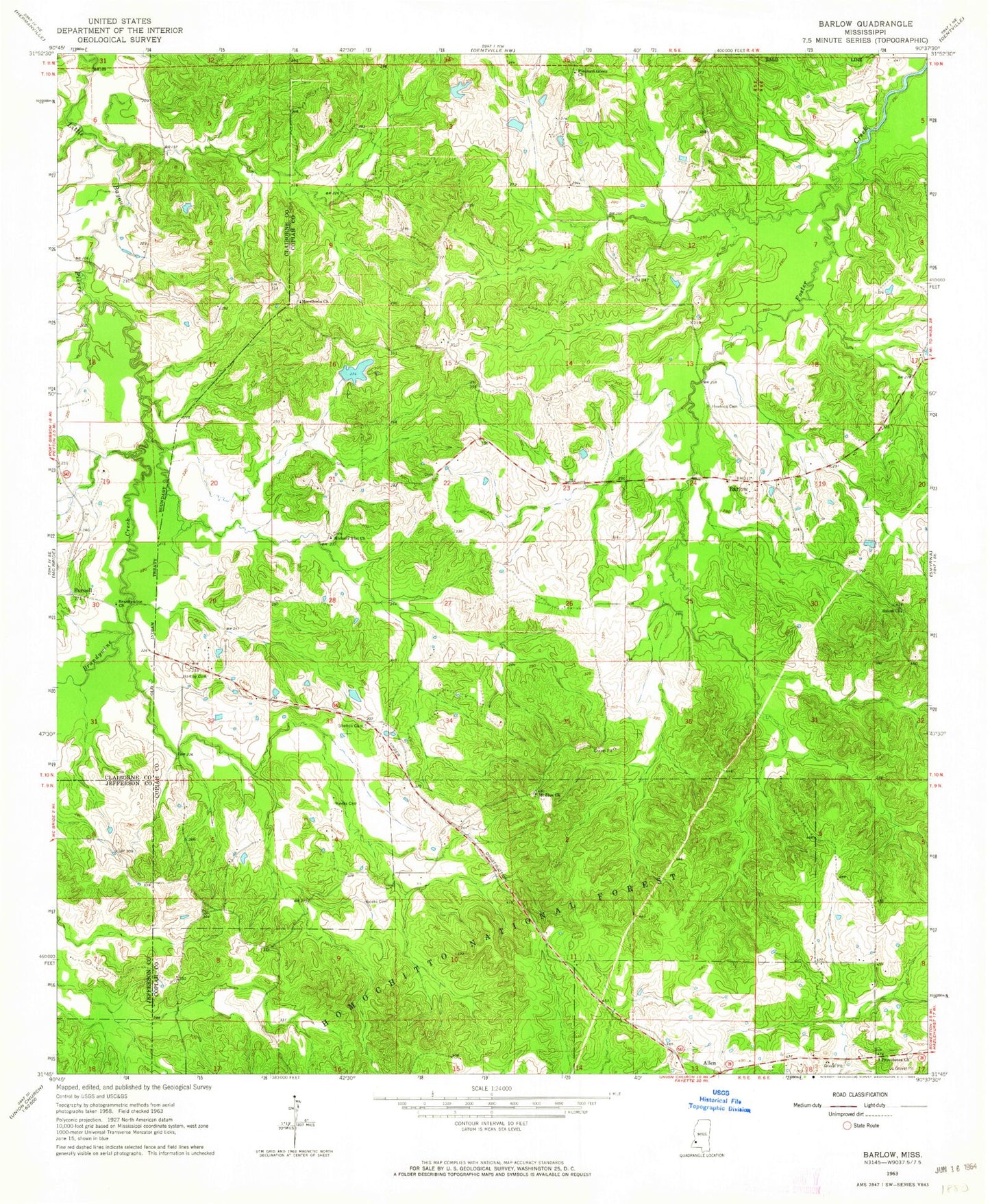
MyTopo
Classic USGS Barlow Mississippi 7.5'x7.5' Topo Map
Couldn't load pickup availability
Historical USGS topographic quad map of Barlow in the state of Mississippi. Map scale may vary for some years, but is generally around 1:24,000. Print size is approximately 24" x 27"
This quadrangle is in the following counties: Claiborne, Copiah, Jefferson.
The map contains contour lines, roads, rivers, towns, and lakes. Printed on high-quality waterproof paper with UV fade-resistant inks, and shipped rolled.
Contains the following named places: Barlow, Barlow Volunteer Fire Department, Brandywine Church, Brandywine Creek, Brandywine Spring, Burnell, Copiah County State Wildlife Management Area, Dixon Airport, Farm Land Company Lake Dam, George F Henneberry Game Reserve, Hartley Cemetery, Hawkins Cemetery, Hawkins Plantation, Hickory Flat Church, Macedonia Church, Mount Zion Church, Pleasant Green Church, Providence Baptist Church, Providence Church, Rehobeth Methodist Church, Rehobeth-Barlow Cemetery, Salem Church, Shelton Cemetery, Warren Hood Lake Dam, Weeks Cemetery