MyTopo
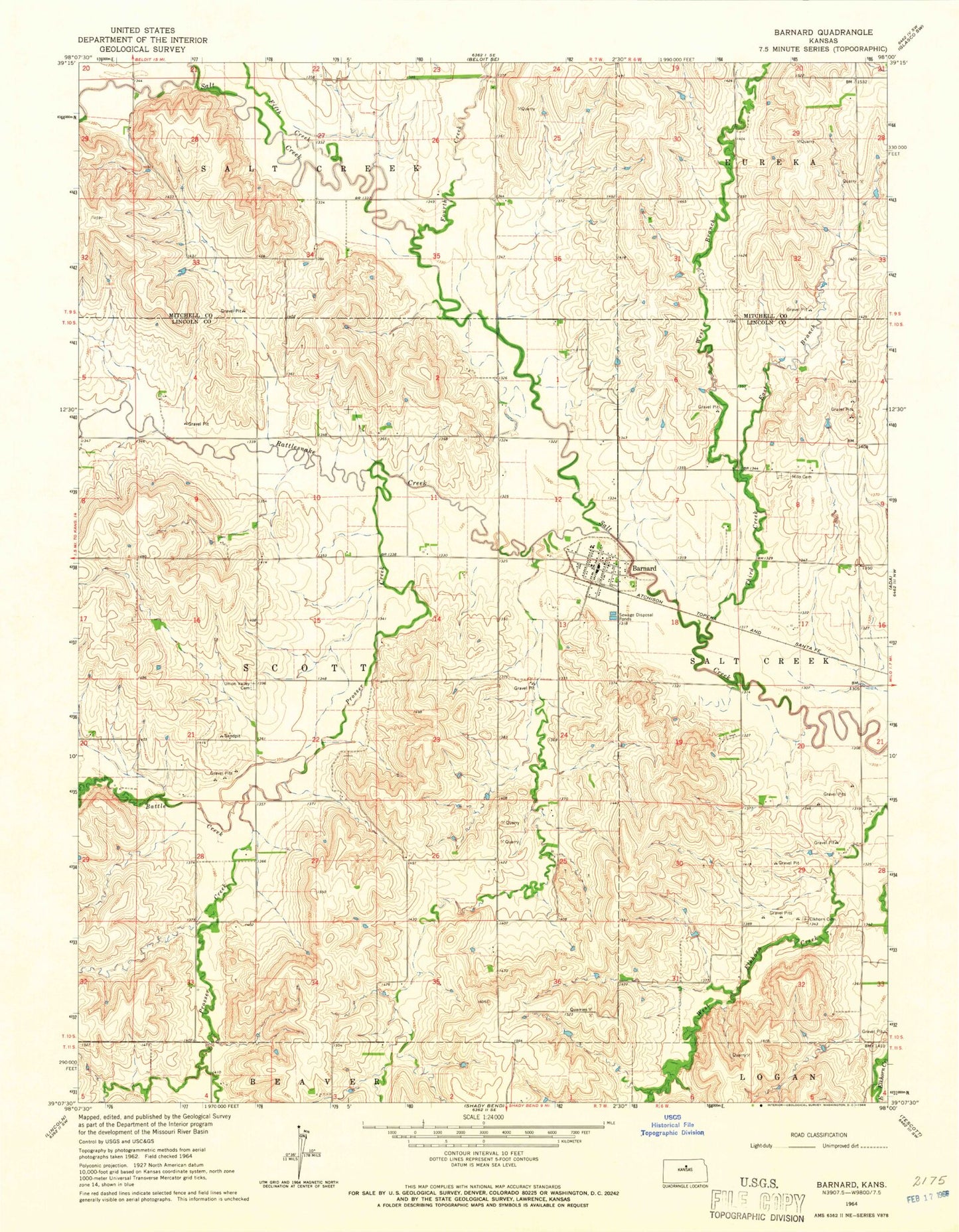
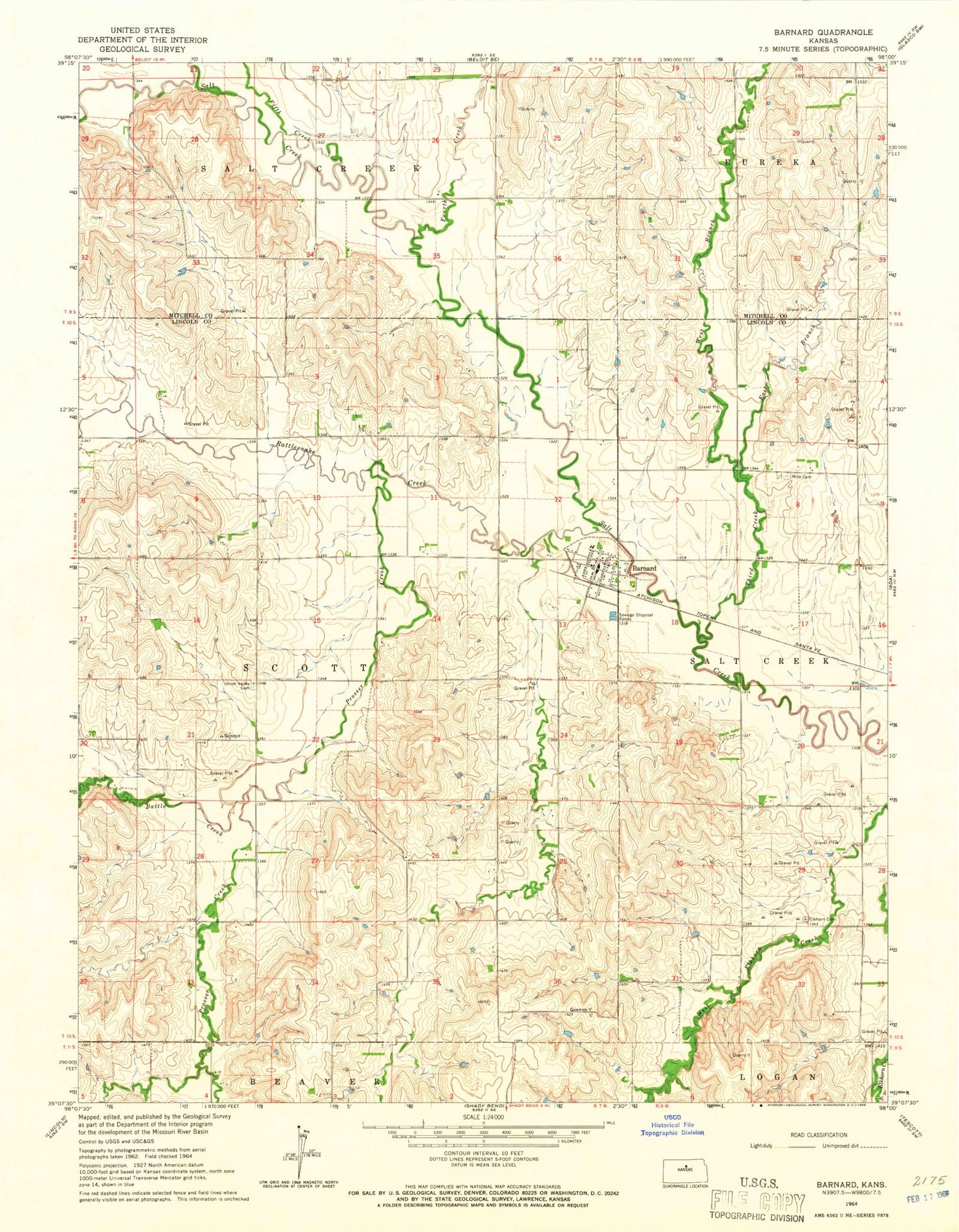
Classic USGS Barnard Kansas 7.5'x7.5' Topo Map
Couldn't load pickup availability
Historical USGS topographic quad map of Barnard in the state of Kansas. Map scale may vary for some years, but is generally around 1:24,000. Print size is approximately 24" x 27"
This quadrangle is in the following counties: Lincoln, Mitchell.
The map contains contour lines, roads, rivers, towns, and lakes. Printed on high-quality waterproof paper with UV fade-resistant inks, and shipped rolled.
Contains the following named places: Barnard, Barnard Post Office, Barnard Rural Fire Department, Barnard United Methodist Church, Barnard Wastewater Plant, Battle Creek, City of Barnard, East Branch Third Creek, Elkhorn Cemetery, Fifth Creek, First Baptist Church, Fourth Creek, Milo Cemetery, Pinon, Prosser Creek, Rattlesnake Creek, Third Creek, Township of Scott, Union Valley Cemetery, West Branch Third Creek, Woodey, ZIP Code: 67418