MyTopo
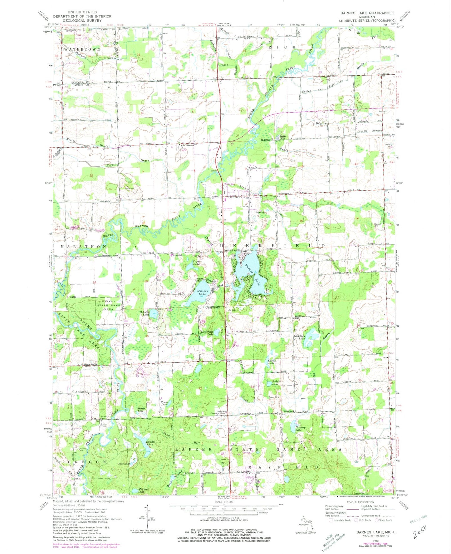
Classic USGS Barnes Lake Michigan 7.5'x7.5' Topo Map
Couldn't load pickup availability
Historical USGS topographic quad map of Barnes Lake in the state of Michigan. Map scale is 1:24000. Print size is approximately 24" x 27"
This quadrangle is in the following counties: Lapeer, Tuscola.
The map contains contour lines, roads, rivers, towns, and lakes. Printed on high-quality waterproof paper with UV fade-resistant inks, and shipped rolled.
Contains the following named places: Barnes Lake, Barnes Lake, Barnes Lake Census Designated Place, Barnes Lake-Millers Lake Census Designated Place (historical), Bass Lake, Bear Swamp, Corbin Lake, Country Christian Church, Crystal Creek, Crystal Creek Campgrounds, Deerfield Church of Christ, Deerfield Pines Mobile Home Park, Deerfield Township Fire Department, Degrow Branch, Degrow Drain, Dipper Lake, East Deerfield Church, Faith Community Church, Fitch Drain, Forest Drain, Fostoria Census Designated Place, Fostoria Drain, Guaddey Lake, Hortin Lake, Kester Drain, Kings Landing Kamp Ground, Lapeer State Game Area, Littlefield Lake, Margret Lake, Maxwell Drain, Millers Lake, Millers Lake, Millers Lake Census Designated Place, Millis School, New Life in Christ Lutheran Church, Norway Lake, Peoples Baptist Church, Riddle Lake, Sand Hill Drain, Sawdel Lake, Selders Lake, Squaw Creek, Sutter and Eight Line Drain, Sutter Lake, Sutter's Recreation Area, Sweet School, Township of Deerfield, Trune Lake, West Deerfield Cemetery, West Deerfield Church