MyTopo
Classic USGS Barneston Nebraska 7.5'x7.5' Topo Map
Couldn't load pickup availability
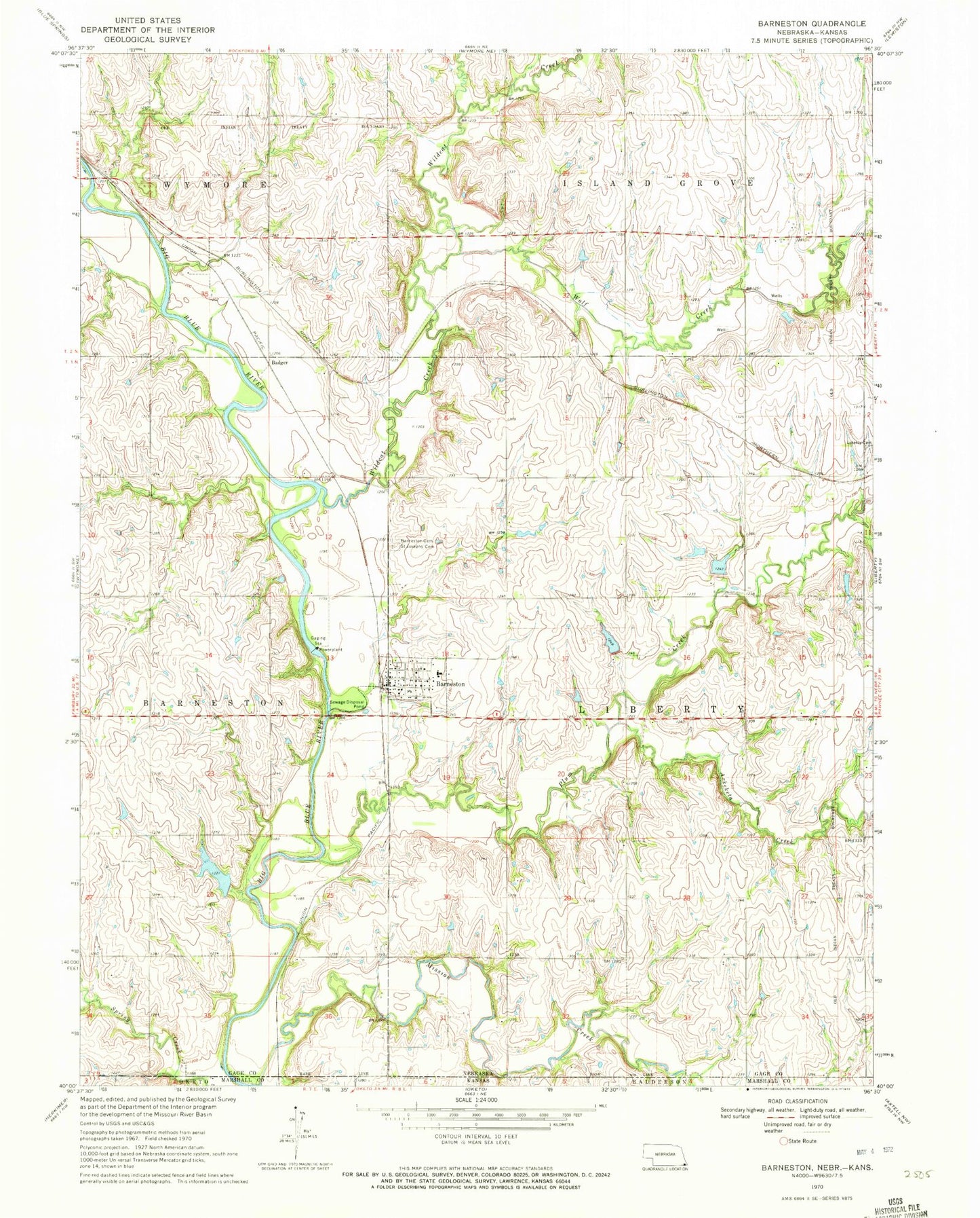
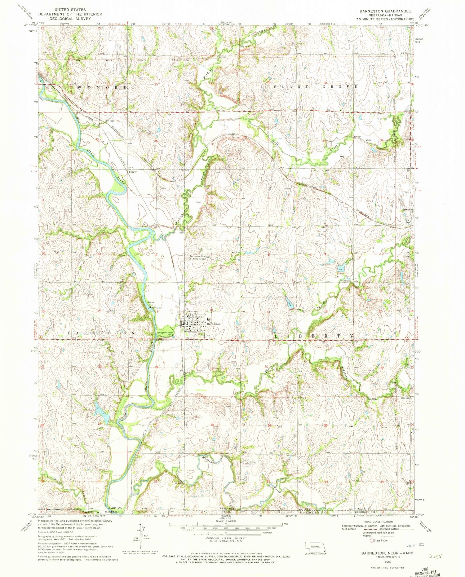
Historical USGS topographic quad map of Barneston in the states of Nebraska, Kansas. Map scale may vary for some years, but is generally around 1:24,000. Print size is approximately 24" x 27"
This quadrangle is in the following counties: Gage, Marshall.
The map contains contour lines, roads, rivers, towns, and lakes. Printed on high-quality waterproof paper with UV fade-resistant inks, and shipped rolled.
Contains the following named places: Arkeketa Creek, Badger, Barneston, Barneston Cemetery, Barneston Post Office, Barneston Power Plant Dam, Barneston Power Plant Reservoir, Barneston Rural Volunteer Fire Department, Barneston School, Farmers Co-operative Elevator, Mission Creek, Oto and Missouri Agency Historical Marker, Plum Creek Dam 2-2, Plum Creek Dam 2-A, Plum Creek Dam 2-D, Plum Creek Dam 2-E, Plum Creek Dam 2-F, Plum Creek Reservoir 2-2, Plum Creek Reservoir 2-D, Plum Creek Reservoir 2-E, Plum Creek Reservoir 2-F, Saint Joseph Catholic Church, Saint Josephs Cemetery, Township of Liberty, Village of Barneston, Warford Dam, Warford Reservoir, Wildcat Creek, Wolf Creek, ZIP Code: 68309