MyTopo
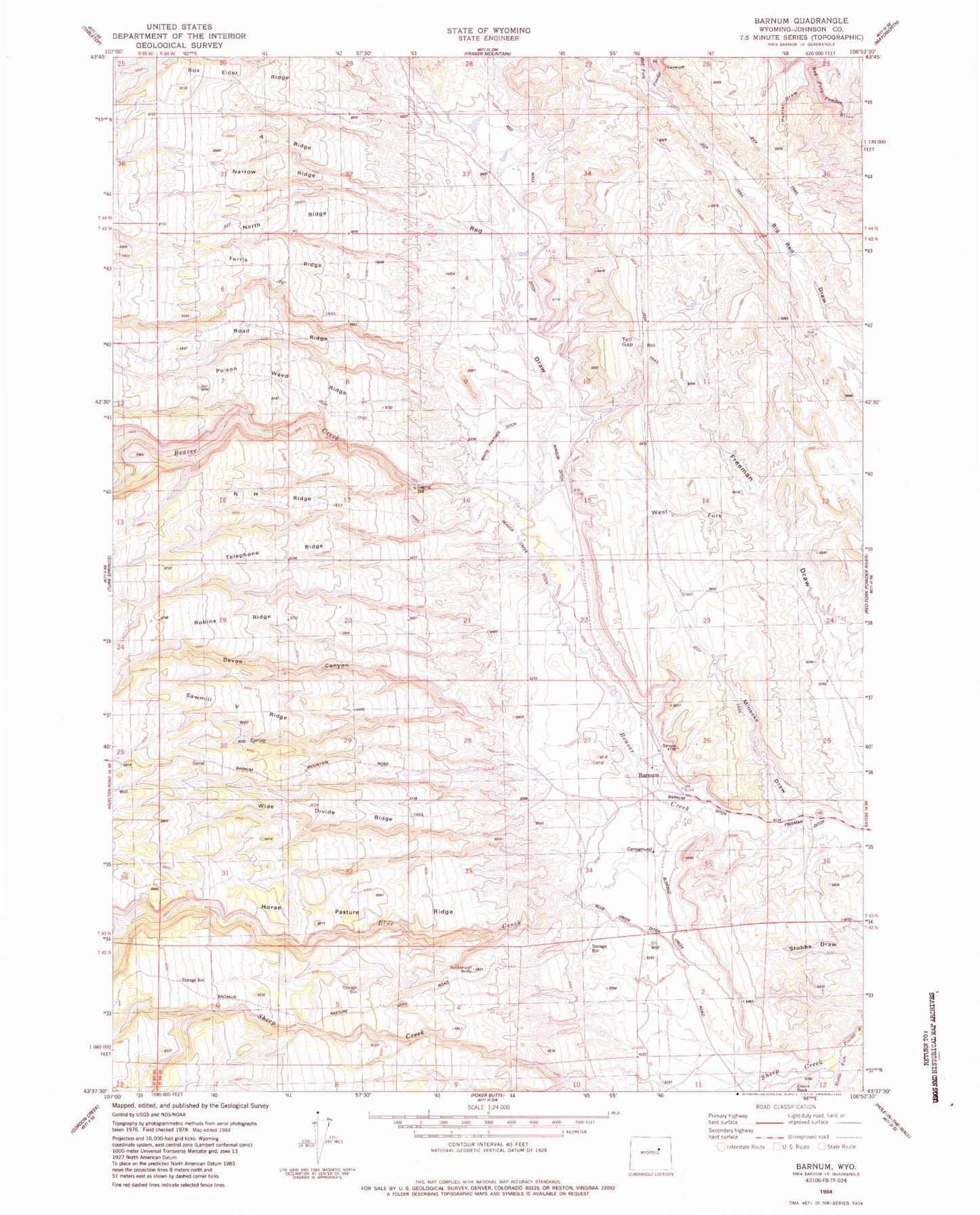
Classic USGS Barnum Wyoming 7.5'x7.5' Topo Map
Couldn't load pickup availability
Historical USGS topographic quad map of Barnum in the state of Wyoming. Map scale may vary for some years, but is generally around 1:24,000. Print size is approximately 24" x 27"
This quadrangle is in the following counties: Johnson.
The map contains contour lines, roads, rivers, towns, and lakes. Printed on high-quality waterproof paper with UV fade-resistant inks, and shipped rolled.
Contains the following named places: A Ridge, Barnum, Barnum Ditch, Beaver Creek Ditch, Big Red Dam, Big Red Reservoir, Blue Creek, Blue Creek Ditch, Blue Creek Ranch, Box Elder Ridge, Brock Camp, Buckbrush Butte, Cottonwood Creek, D Cross Ranch, Devoe Canyon, Ferris Ridge, Freeman Ditch, Freeman Number 3 Dam, Freeman Number 3 Reservoir, Graves Ditch, Graves Ranch, Horse Pasture Ridge, Hunter Draw, McCarthy Number 1 Dam, McCarthy Reservoir Number 1, Minecke Draw, N H Ridge, Narrow Ridge, North Ridge, Poison Weed Ridge, Red Draw, Red Fork Number Two Mine, Road Ridge, Robins Ridge, Rowan Spring, Sawmill V Ridge, Sheep Creek, Telephone Ridge, Toll Gap, West Fork Freeman Draw, White Panther Ditch, Wide Divide Ridge, Winsor Ditch, Wolcott Ranch