MyTopo
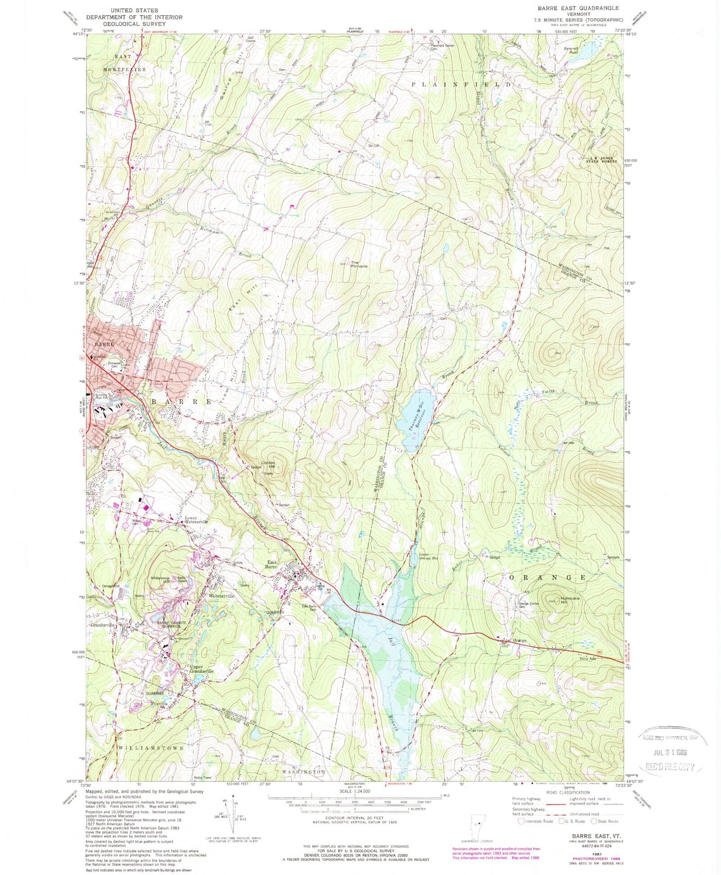
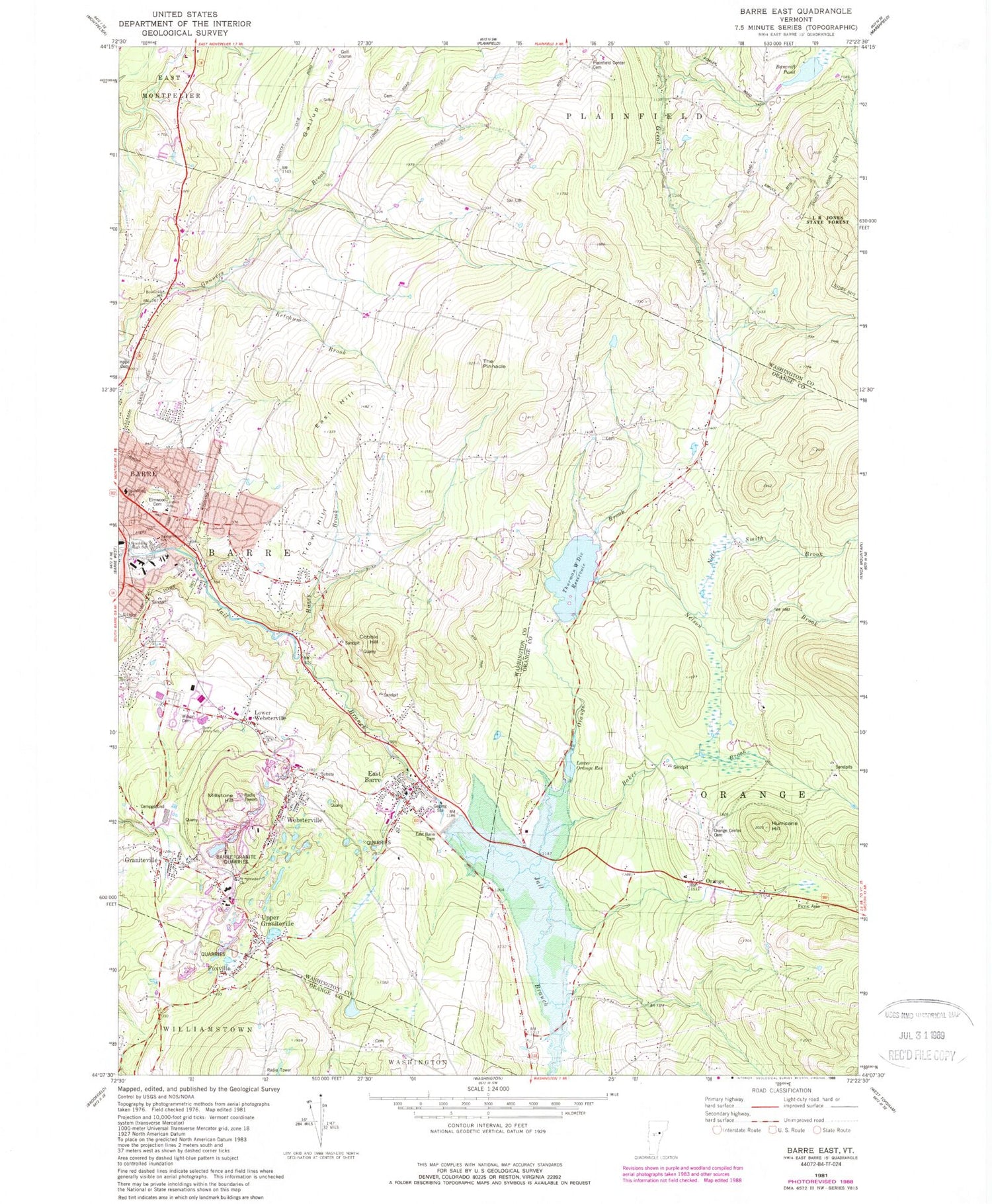
Classic USGS Barre East Vermont 7.5'x7.5' Topo Map
Couldn't load pickup availability
Historical USGS topographic quad map of Barre East in the state of Vermont. Map scale may vary for some years, but is generally around 1:24,000. Print size is approximately 24" x 27"
This quadrangle is in the following counties: Orange, Washington.
The map contains contour lines, roads, rivers, towns, and lakes. Printed on high-quality waterproof paper with UV fade-resistant inks, and shipped rolled.
Contains the following named places: Baker Brook, Bancroft Pond, Barre City Municipal Forest, Barre Country Club, Barre Municipal Forest, Barre Regional Vocational Technical Center, Barre Supervisory Union, Barre Town Elementary and Middle School, Barre Town Emergency Medical Services, Barre Town EMS Station, Barre Town Fire Department - East Barre Station, Barre Town Municipal Office, Barre Town Police Department, Bisson-Barre Hill Cemetery, Brook Haven Cemetery, Brookside School, Cecilia-Saint Francis Cabrini Catholic Church, Charles Fantoni Roundabout, Cobble Hill, Cobble Hill School, Congregational Church of East Barre, Currier Park, Currier Park Historic District, Cutlers Corners Cemetery, East Barre, East Barre Census Designated Place, East Barre Dam, East Barre Post Office, East Barre Reservoir, East Hill, Elmwood Cemetery, First Presbyterian Church, Foxville, Gallup Hill, Graniteville, Graniteville Census Designated Place, Graniteville Post Office, Graniteville-East Barre Census Designated Place, Green Mouintain Power Substation Number 1, Honey Brook, Hope Cemetery, Hurricane Hill, Ibarre Granite Quarries, Ketchum Brook, Lazy Lions Campground, Lower Orange Reservoir, Lower Orange Reservoir Dam, Lower Websterville, Millstone Hill, Nate Smith Brook, Nelson Brook, Orange, Orange Alliance Church, Orange Brook, Orange Center Cemetery, Orange Center School, Orange Town Forest, Orange Town Hall, Perkinsville, Plainfield Center Cemetery, Quarry School, Robert Burns Memorial Statue, Rock of Ages Granite Quarry, Saint Sylvester Cemetery, Saint Sylvester Roman Catholic Church, Smith Lot Cemetery, South School, Spaulding High School, Springhouse School, The Pinnacle, Thurman W. Dix Reservoir, Thurman W. Dix Reservoir Dam, Town of Barre, Town of Plainfield, Trow Hill, Upper Graniteville, Websterville, Websterville Baptist Christian School, Websterville Baptist Church, Websterville Census Designated Place, Websterville Post Office, Wildersburg Common, Williamstown Lutheran Church, Wilson Cemetery, WORK-FM (Barre), ZIP Codes: 05641, 05654, 05678


