
MyTopo
Classic USGS Barren Mountain East Maine 7.5'x7.5' Topo Map
Couldn't load pickup availability
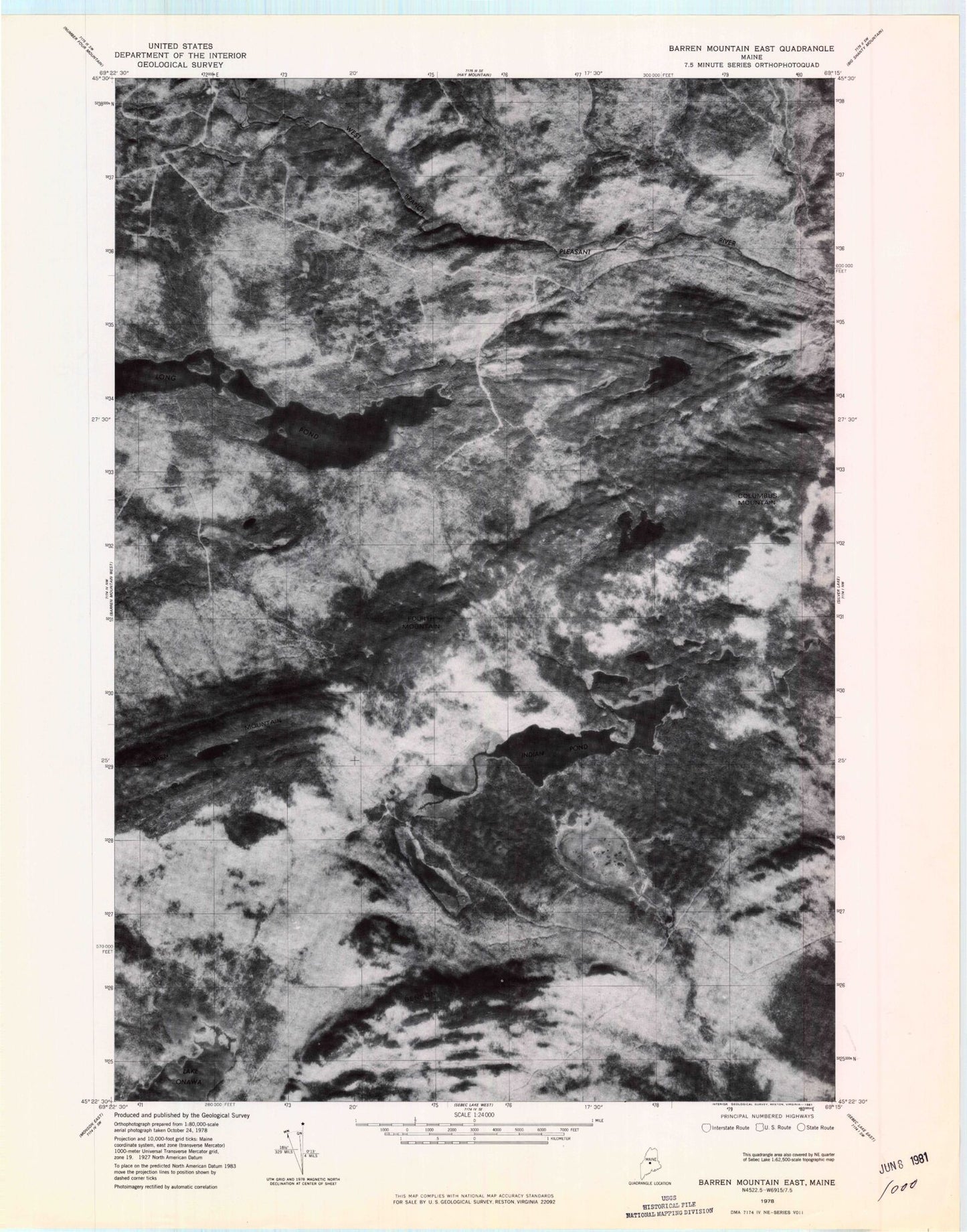
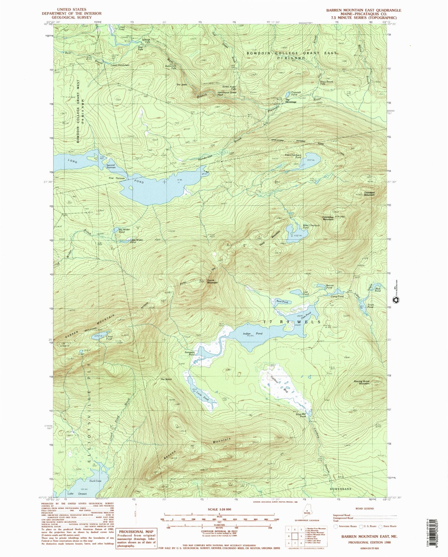
Historical USGS topographic quad map of Barren Mountain East in the state of Maine. Typical map scale is 1:24,000, but may vary for certain years, if available. Print size: 24" x 27"
This quadrangle is in the following counties: Piscataquis.
The map contains contour lines, roads, rivers, towns, and lakes. Printed on high-quality waterproof paper with UV fade-resistant inks, and shipped rolled.
Contains the following named places: Barren Mountain, Bear Brook, Beaver Pond, Benson Mountain, Big Wilder Pond, Boot Pond, Camp Pond, Caribou Bog, Chairback Mountain, Cloud Pond, Cloud Pond Brook, Columbus Mountain, Dam Pond, Duck Cove, East Chairback Pond, First Narrows, Fourth Mountain, Gulf Hagas Brook, Gulf Hagas Trail, Hay Brook, Henderson Brook, Indian Pond, Little Wilder Pond, Lost Pond, Lower Deadwater, Lucia Pond, Mud Pond, Pugwash Pond, Rays Mill Pond, Roaring Brook Mountain, Sampson Pond, Screw Auger Falls, Second Narrows, South Pond, Stair Falls, The Hermitage, The Notch, Third Mountain, West Chairback Pond, Billings Falls, Buttermilk Falls, The Jaws, Hammond Street Pitch, Hays Brook Falls, Barren Mountain Lookout Tower, The Hermitage Preserve, T7 R9 NWP