MyTopo
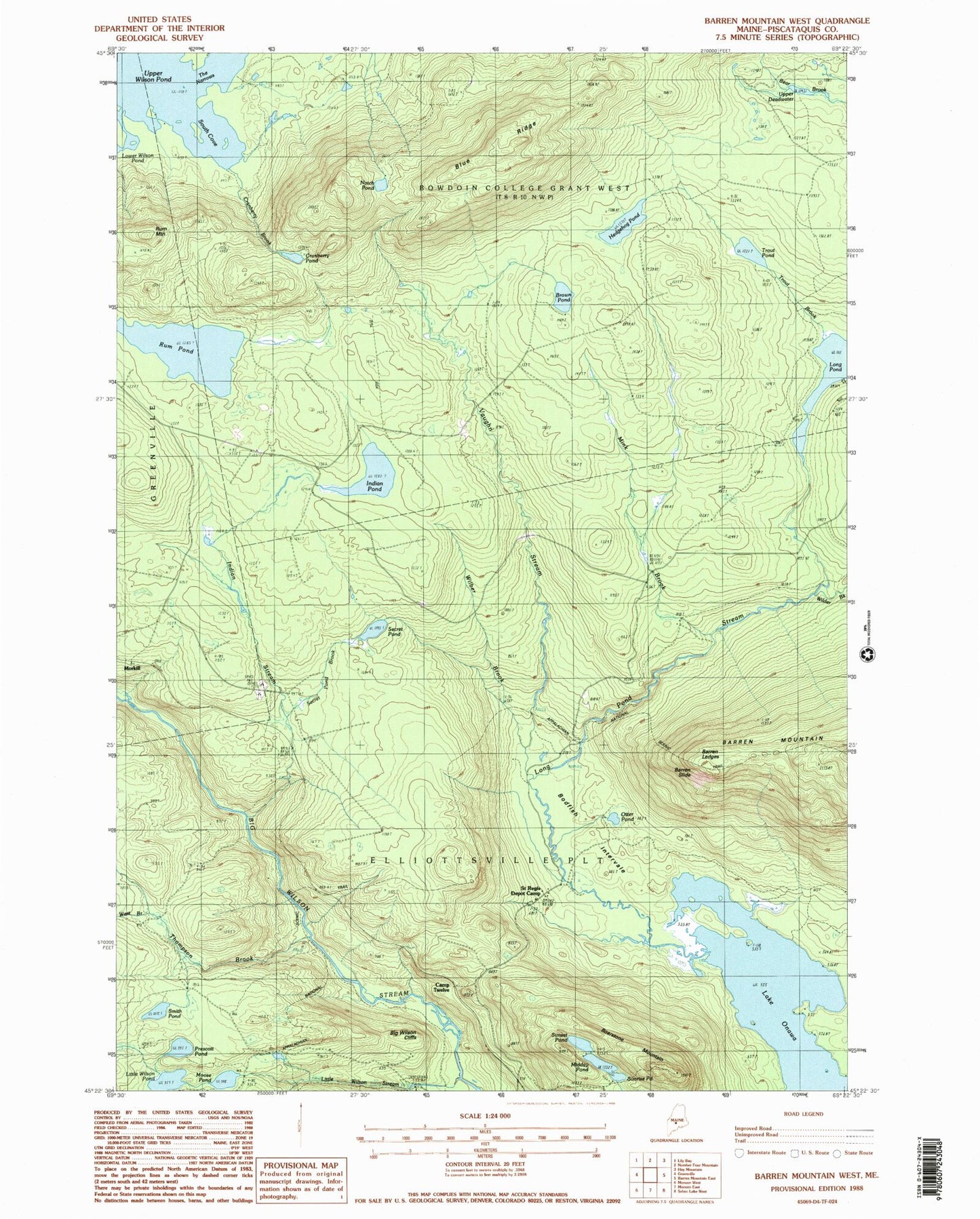
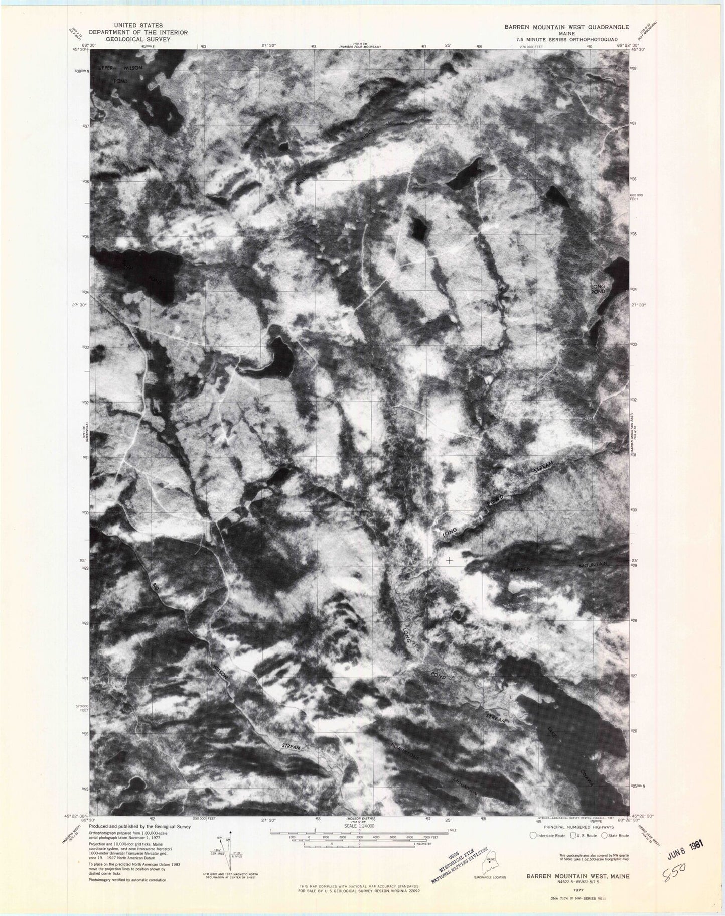
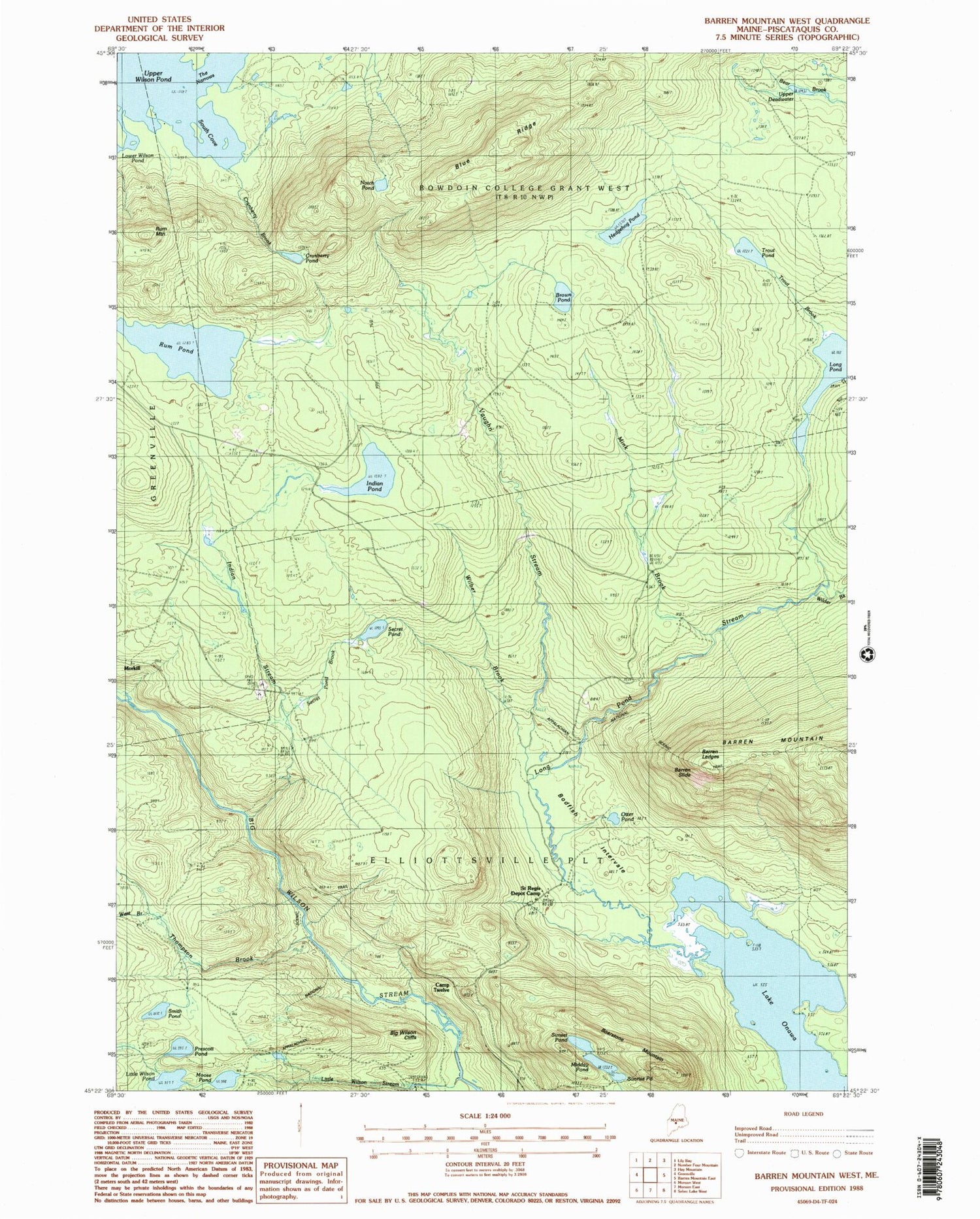
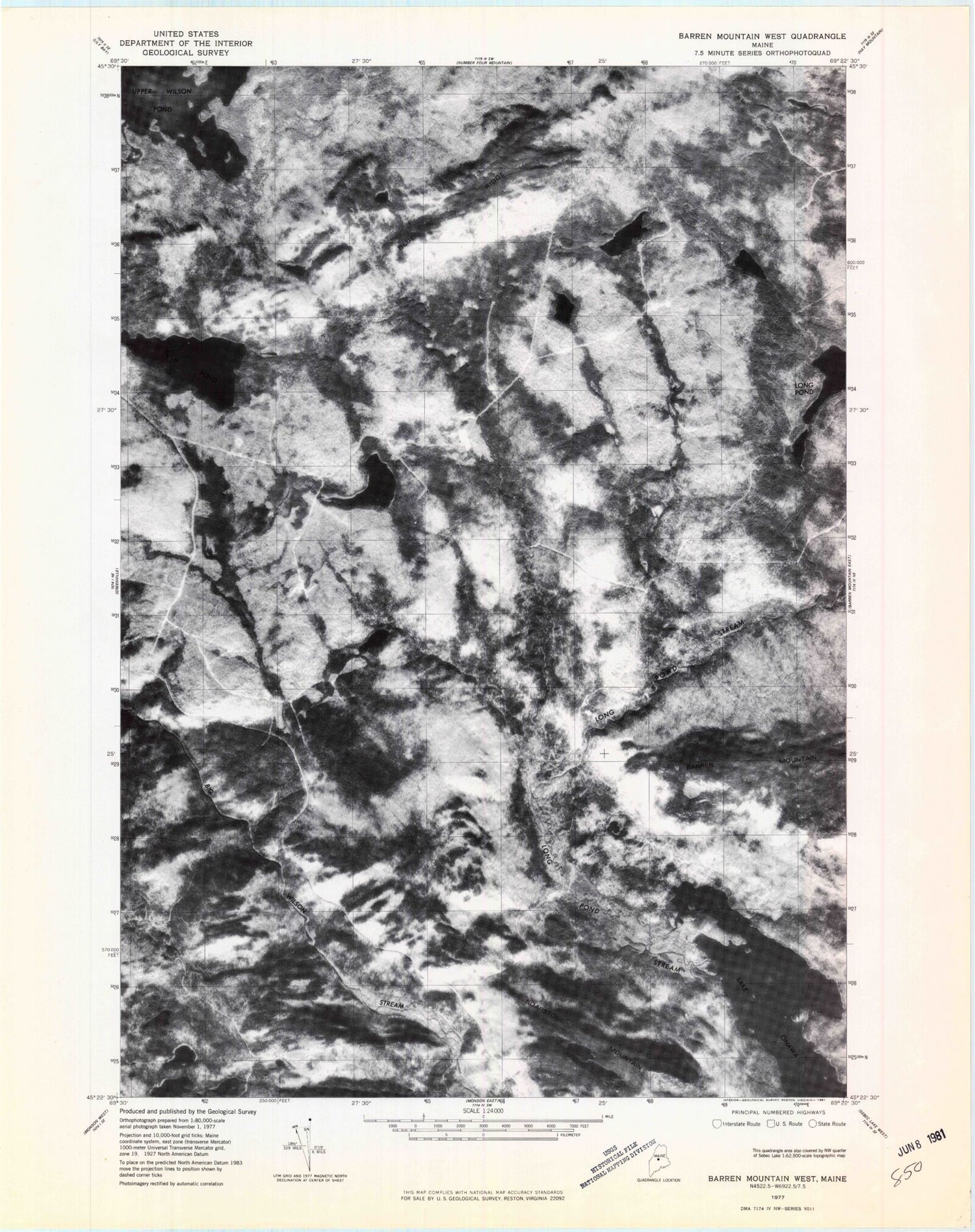
Classic USGS Barren Mountain West Maine 7.5'x7.5' Topo Map
Couldn't load pickup availability
Historical USGS topographic quad map of Barren Mountain West in the state of Maine. Typical map scale is 1:24,000, but may vary for certain years, if available. Print size: 24" x 27"
This quadrangle is in the following counties: Piscataquis.
The map contains contour lines, roads, rivers, towns, and lakes. Printed on high-quality waterproof paper with UV fade-resistant inks, and shipped rolled.
Contains the following named places: Barren Ledges, Barren Slide, Big Wilson Cliffs, Blue Ridge, Boarstone Mountain, Bodfish Intervale, Brown Pond, Camp Twelve, Cranberry Brook, Cranberry Pond, Hedgehog Pond, Indian Pond, Indian Stream, Little Wilson Pond, Little Wilson Stream, Long Pond, Long Pond Stream, Midday Pond, Mink Brook, Moose Pond, Notch Pond, Otter Pond, Prescott Pond, Rum Pond, Saint Regis Depot Camp, Secret Brook, Secret Pond, Smith Pond, South Cove, Sunrise Pond, Sunset Pond, The Narrows, Thompson Brook, Trout Brook, Trout Pond, Upper Deadwater, Vaughn Stream, West Branch Thompson Brook, Wilber Brook, Wilder Brook, Morkill, Plantation of Elliottsville, Slugundy Falls


