MyTopo
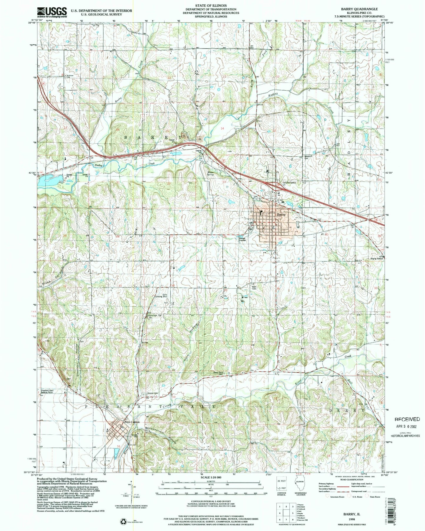
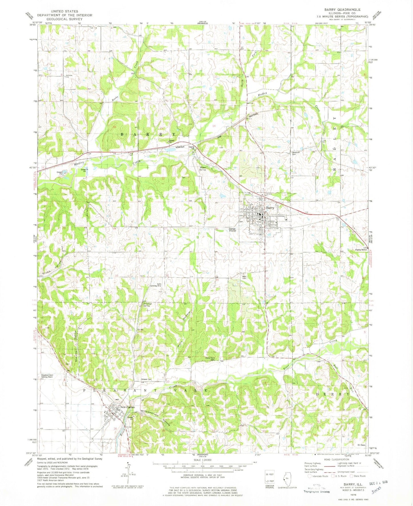
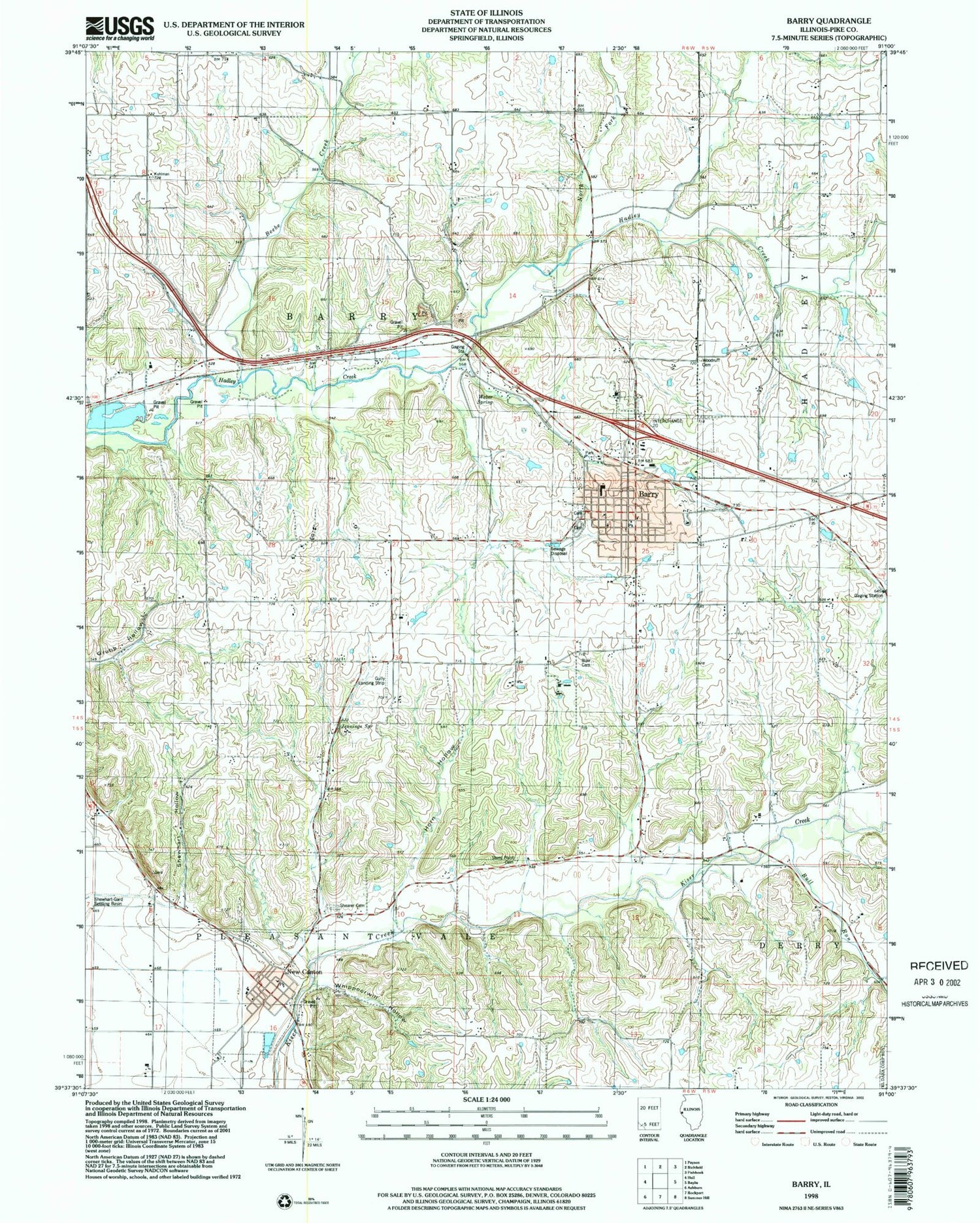
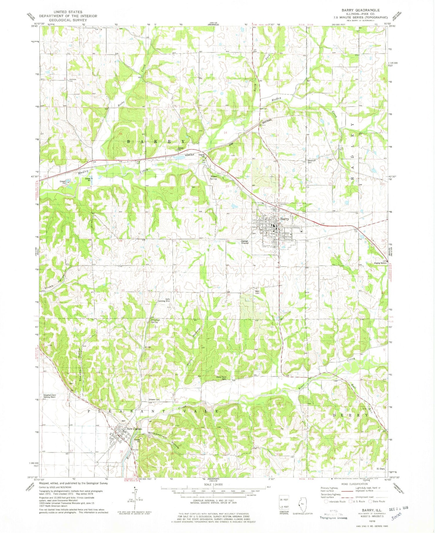
Classic USGS Barry Illinois 7.5'x7.5' Topo Map
Couldn't load pickup availability
Historical USGS topographic quad map of Barry in the state of Illinois. Map scale may vary for some years, but is generally around 1:24,000. Print size is approximately 24" x 27"
This quadrangle is in the following counties: Pike.
The map contains contour lines, roads, rivers, towns, and lakes. Printed on high-quality waterproof paper with UV fade-resistant inks, and shipped rolled.
Contains the following named places: Barry, Barry Balloonport, Barry Cemetery, Barry Fire Protection District, Barry High School, Barry Historic District, Barry Post Office, Beebe Creek, Blair Cemetery, Bluegrass School, Bowler School, Buckeye School, Bull Run, City of Barry, Collins School, Gully Landing Strip, Guss School, Holy Redeemer Church, Horn Hollow, Jennings Spring, Mound School, New Canton, New Canton Fire Protection District, New Canton Post Office, New Canton Station, North Fork Hadley Creek, Oak Grove School, Park Lawn Cemetery, Pike County Sheriff's Office - Barry Station, Potter Airport, Shearer Cemetery, Shewhart Hollow, Spring School, Spring Valley School, Stoney Point Cemetery, Stony Point School, Town of New Canton, Township of Barry, Weber Spring, Whippoorwill Hollow, Whittleton School, Williams School, Woodruff Cemetery, ZIP Code: 62312


