MyTopo
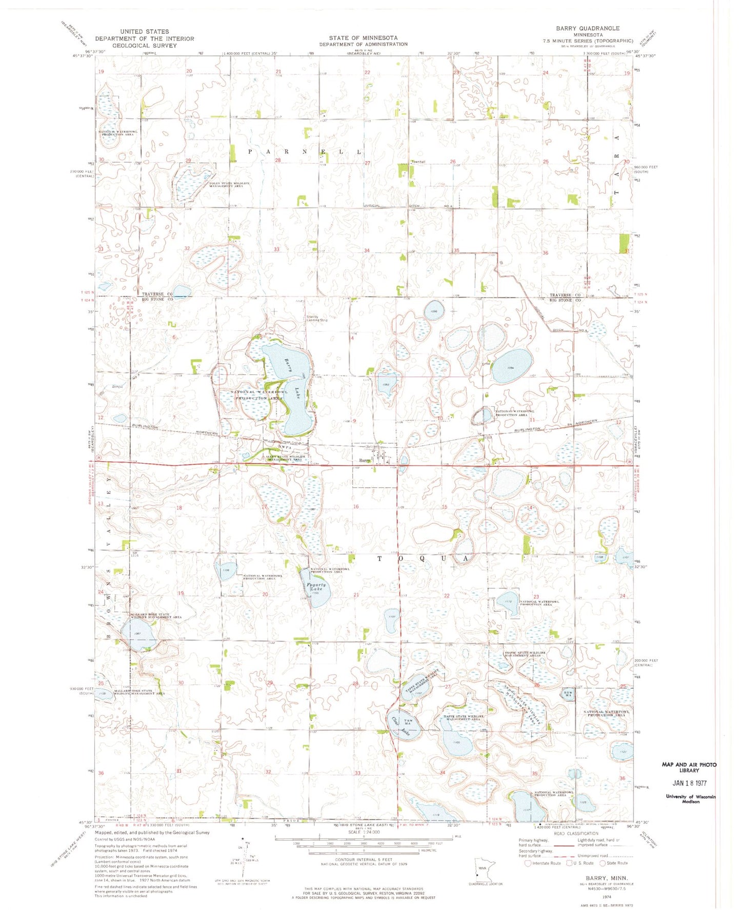
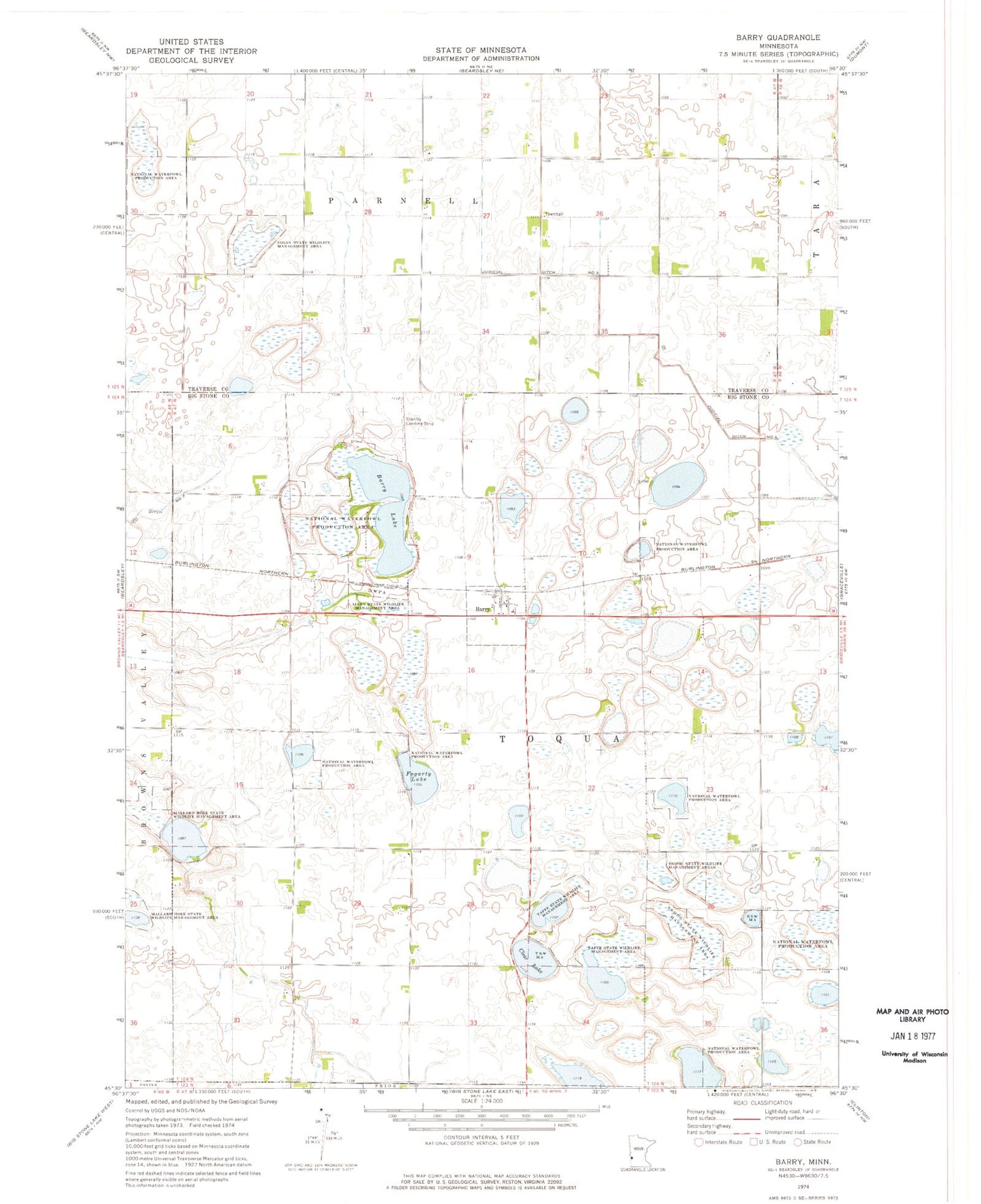
Classic USGS Barry Minnesota 7.5'x7.5' Topo Map
Couldn't load pickup availability
Historical USGS topographic quad map of Barry in the state of Minnesota. Map scale may vary for some years, but is generally around 1:24,000. Print size is approximately 24" x 27"
This quadrangle is in the following counties: Big Stone, Traverse.
The map contains contour lines, roads, rivers, towns, and lakes. Printed on high-quality waterproof paper with UV fade-resistant inks, and shipped rolled.
Contains the following named places: Allen State Wildlife Management Area, Barry, Barry Lake, Barry Post Office, City of Barry, Clear Lake, Fogarty Lake, Foley State Wildlife Management Area, Judicial Ditch Number Four, Mallard Hole State Wildlife Management Area, School Number 23, School Number 51, School Number 64, Skoog State Wildlife Management Area, Stanley Field Airport, Taffe State Wildlife Management Area, Township of Toqua, Twingrove School, ZIP Code: 56210