MyTopo
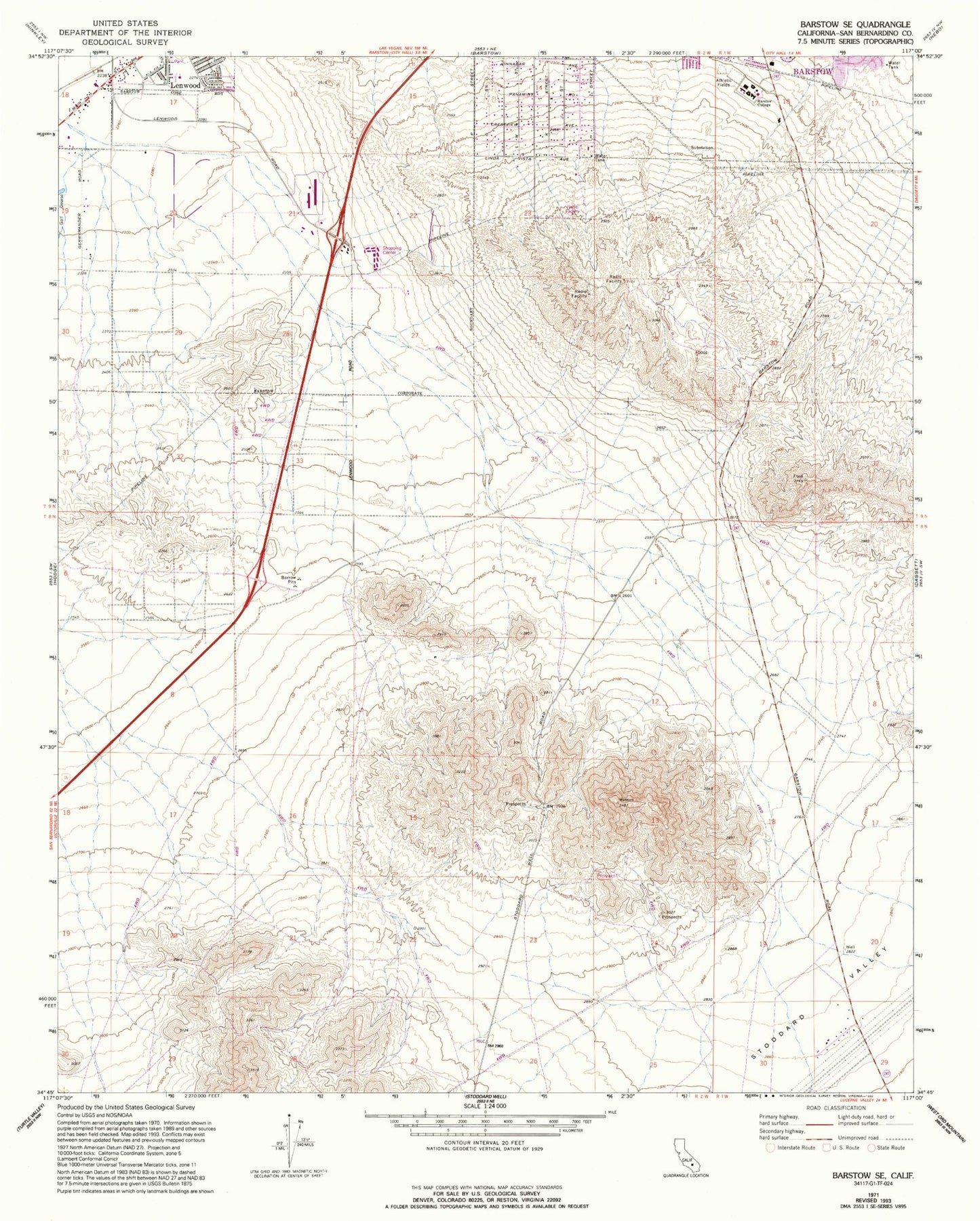
Classic USGS Barstow SE California 7.5'x7.5' Topo Map
Couldn't load pickup availability
Historical USGS topographic quad map of Barstow SE in the state of California. Map scale may vary for some years, but is generally around 1:24,000. Print size is approximately 24" x 27"
This quadrangle is in the following counties: San Bernardino.
The map contains contour lines, roads, rivers, towns, and lakes. Printed on high-quality waterproof paper with UV fade-resistant inks, and shipped rolled.
Contains the following named places: Barstow Community College, Barstow Heights, Barstow Police Department Substation, Baxter Ranch, City of Barstow, Factory Merchants at Barstow Shopping Center, KIQQ-FM (Lenwood), KXXZ-FM (Barstow), Lenwood Park, Stoddard Valley, The Church of Jesus Christ of Latter Day Saints, Trinity Baptist Church