MyTopo
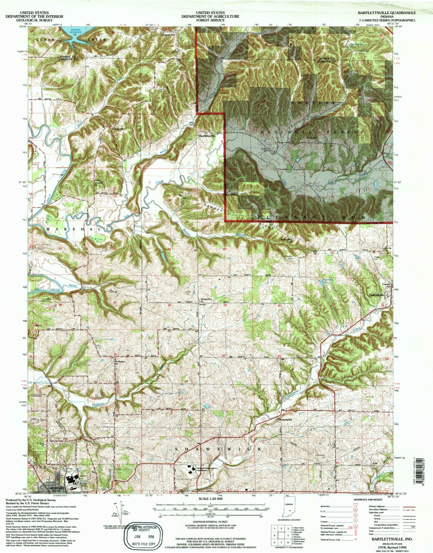
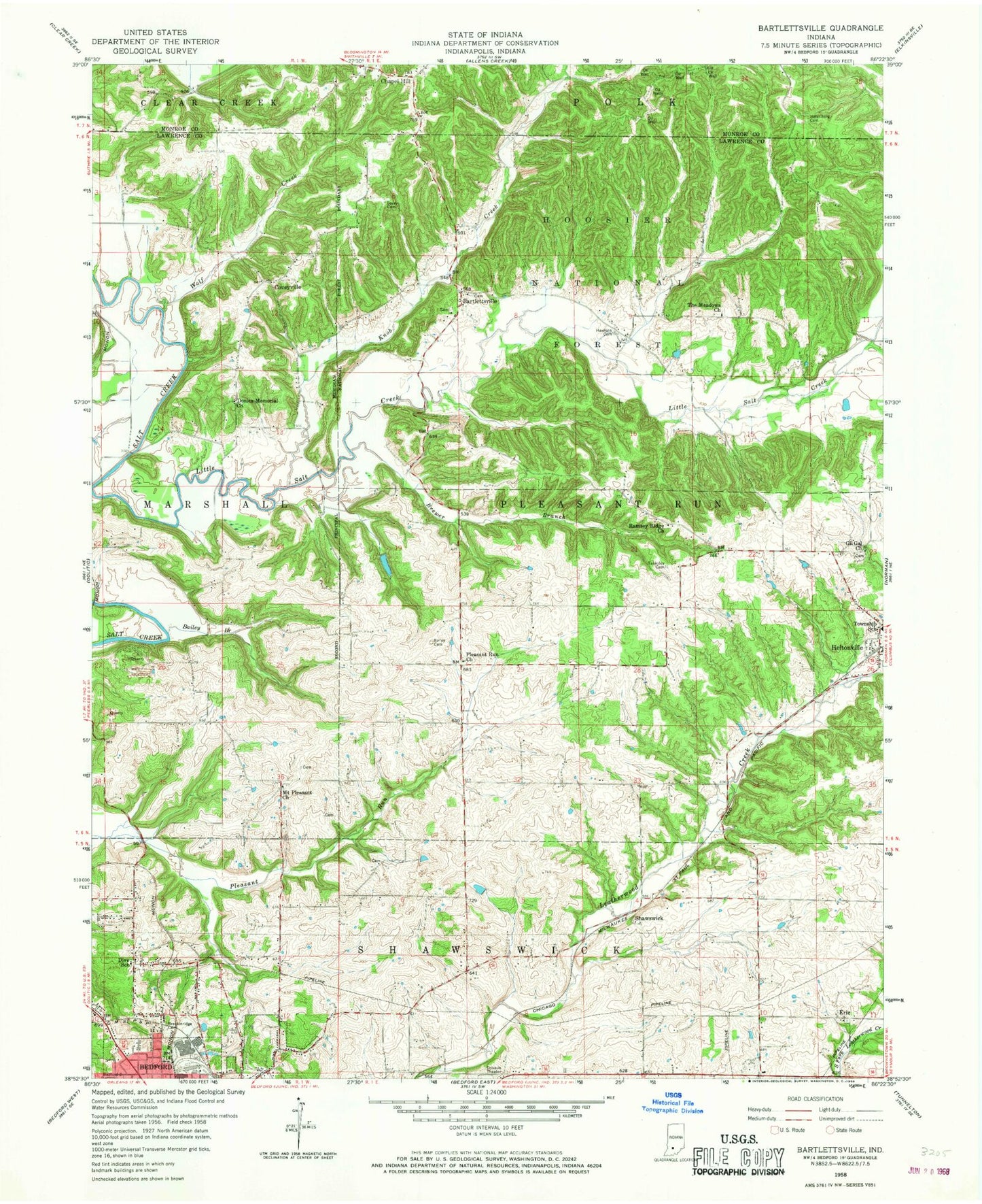
Classic USGS Bartlettsville Indiana 7.5'x7.5' Topo Map
Couldn't load pickup availability
Historical USGS topographic quad map of Bartlettsville in the state of Indiana. Map scale may vary for some years, but is generally around 1:24,000. Print size is approximately 24" x 27"
This quadrangle is in the following counties: Lawrence, Monroe.
The map contains contour lines, roads, rivers, towns, and lakes. Printed on high-quality waterproof paper with UV fade-resistant inks, and shipped rolled.
Contains the following named places: Bailey Branch, Bailey Cemetery, Bartlettsville, Bedford-North Lawrence High School, Bowlen Branch, Breckenridge Cemetery, Brewer Branch, Chapel Hill, Covey Cemetery, Coveyville, Dive School, Donica Memorial Church, Dutch Ridge Lake, Erie, Gil Gal Church, Hawkins Cemetery, Heltonville, Heltonville Elementary School, Heltonville Post Office, Henderson Creek, Hillenburg Cemetery, Howe Creek, Knob Creek, Little Salt Creek, Mount Pleasant Church, Pleasant Run Church, Pleasant Run Township School, Rainbow Lake, Ramsey Ridge, Ramsey Ridge Church, Shawswick, Shawswick Volunteer Fire Department Station 2, Shawswick Volunteer Fire Department Station 3, Sipes Hollow, Tanksley Cemetery, The Meadows Church, Wolf Creek, ZIP Code: 47436