MyTopo
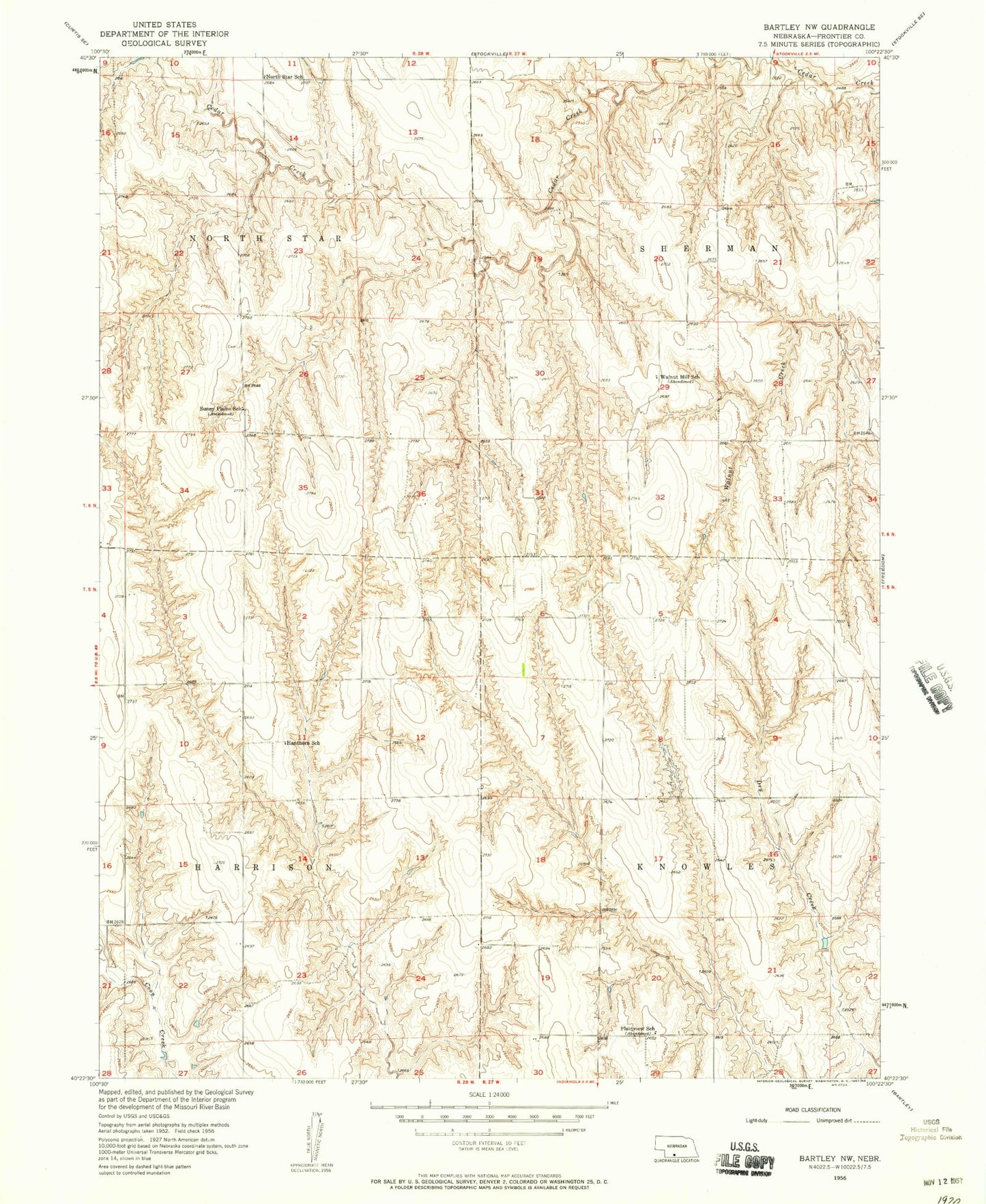
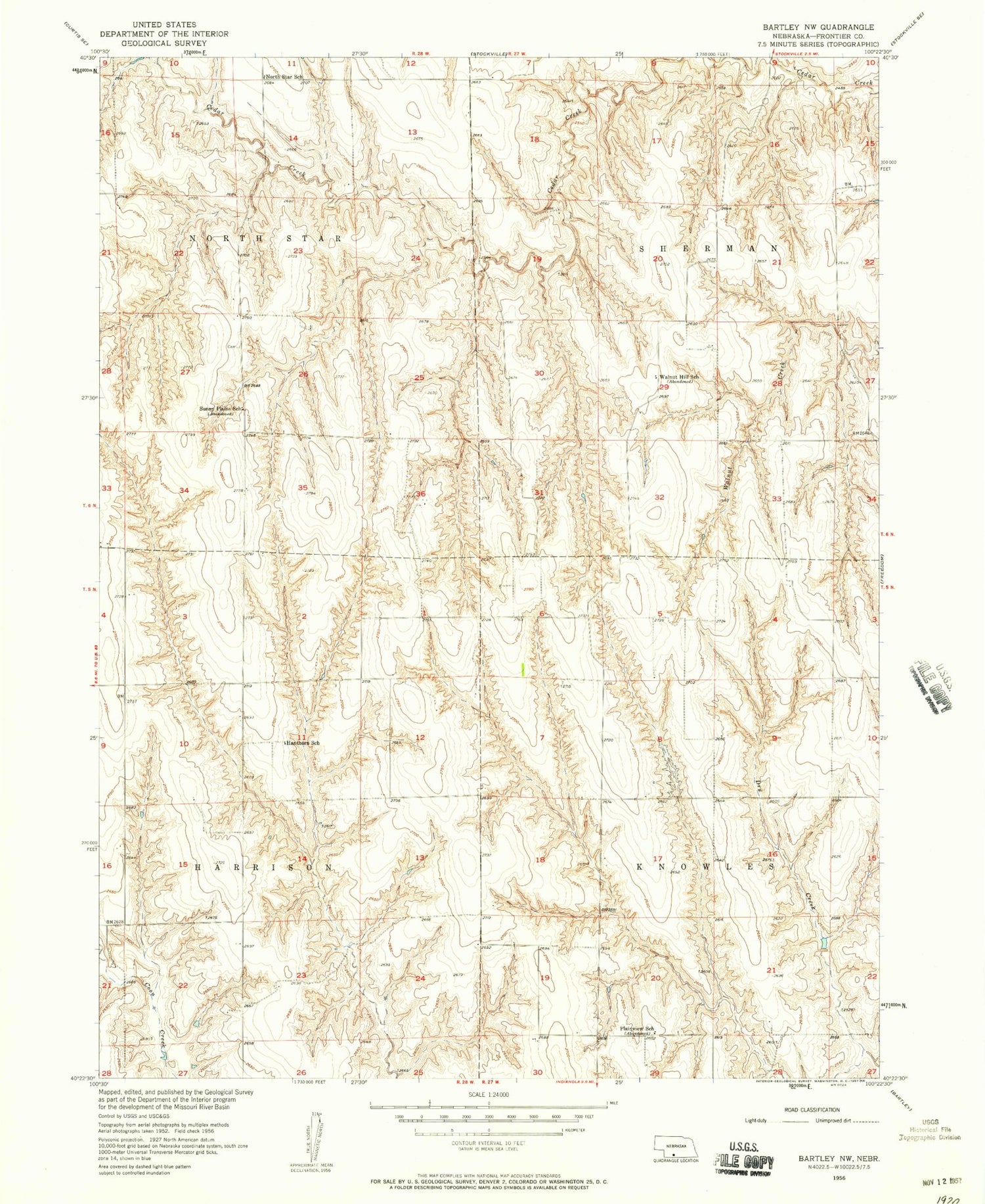
Classic USGS Bartley NW Nebraska 7.5'x7.5' Topo Map
Couldn't load pickup availability
Historical USGS topographic quad map of Bartley NW in the state of Nebraska. Map scale may vary for some years, but is generally around 1:24,000. Print size is approximately 24" x 27"
This quadrangle is in the following counties: Frontier.
The map contains contour lines, roads, rivers, towns, and lakes. Printed on high-quality waterproof paper with UV fade-resistant inks, and shipped rolled.
Contains the following named places: Crampton School, Dry Creek Dam 1-A, Dry Creek Dam 1-B, Dry Creek Dam 2-A, Dry Creek Reservoir 1-A, Dry Creek Reservoir 1-B, Dry Creek Reservoir 2-A, Hanthorn School, Harrison Election Precinct, Knowles Election Precinct, North Star Election Precinct, North Star School, Plainview School, Saint Thomas Cemetery, Sherman Election Precinct, Sughroue Dam, Sughroue Reservoir, Sunny Plains School, Township of Harrison, Township of Knowles, Township of North Star, Township of Sherman, Walnut Hill School, ZIP Code: 69042