
MyTopo
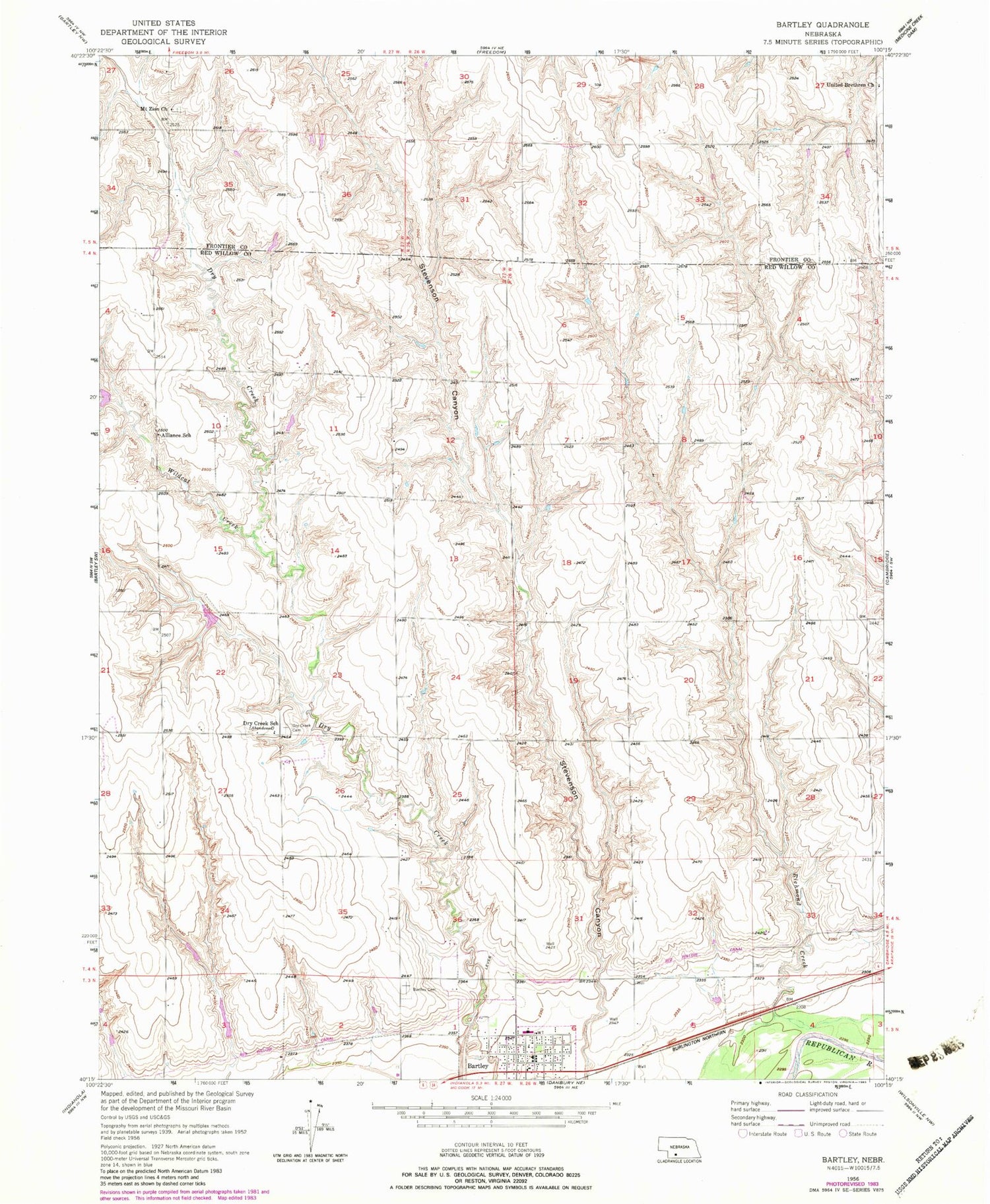
Classic USGS Bartley Nebraska 7.5'x7.5' Topo Map
Couldn't load pickup availability
Historical USGS topographic quad map of Bartley in the state of Nebraska. Map scale may vary for some years, but is generally around 1:24,000. Print size is approximately 24" x 27"
This quadrangle is in the following counties: Frontier, Red Willow.
The map contains contour lines, roads, rivers, towns, and lakes. Printed on high-quality waterproof paper with UV fade-resistant inks, and shipped rolled.
Contains the following named places: Alliance Election Precinct, Alliance School, Bartley Cemetery, Bartley Christian Church, Bartley Equity Elevator, Bartley Post Office, Bartley Public Library, Bartley Volunteer Fire Department, Dry Creek Cemetery, Dry Creek Dam 3-A, Dry Creek Dam 5-A, Dry Creek Dam 8-A, Dry Creek Dam 8-B, Dry Creek Dam 8-C, Dry Creek Reservoir 3-A, Dry Creek Reservoir 5-A, Dry Creek Reservoir 8-A, Dry Creek Reservoir 8-B, Dry Creek School, Fair Hope School, Kemper Memorial United Methodist Church, Mallalieu College, Mallalieu University Historical Marker, Mount Zion Cemetery, Mount Zion Church, North Valley Election Precinct, Pleasant Hill School, Stevenson Canyon, Sunnyside School, Township of Alliance, Twin Valley High School, United Brethren Church, Village of Bartley, Walnut Grove School, Wildcat Creek


