
MyTopo
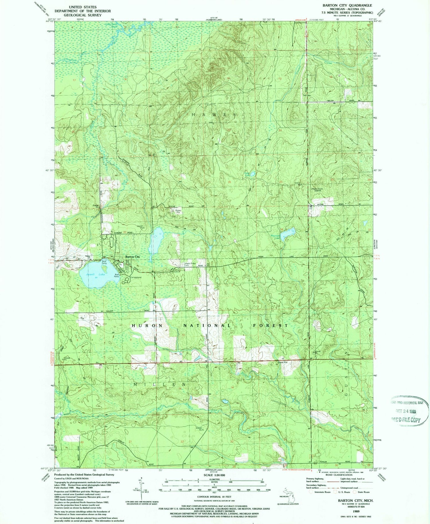
Classic USGS Barton City Michigan 7.5'x7.5' Topo Map
Couldn't load pickup availability
Historical USGS topographic quad map of Barton City in the state of Michigan. Map scale may vary for some years, but is generally around 1:24,000. Print size is approximately 24" x 27"
This quadrangle is in the following counties: Alcona.
The map contains contour lines, roads, rivers, towns, and lakes. Printed on high-quality waterproof paper with UV fade-resistant inks, and shipped rolled.
Contains the following named places: Barton City, Barton City Fire Department, Barton City Post Office, Buff Creek, Burgess Park, Comstock Creek, Jewell Lake, Jewell Lake Campground, Little North Creek, Loud Creek, Maple Ridge Cemetery, Maynard Lake, New Life Lutheran Church, Potter Lake, Township of Hawes, Trinity Church, Trinity Lutheran Cemetery, WBKB-TV (Alpena)


