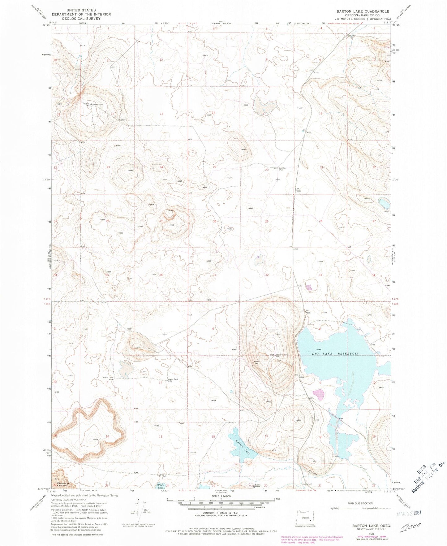
MyTopo
Classic USGS Barton Lake Oregon 7.5'x7.5' Topo Map
Regular price
$16.95
Regular price
Sale price
$16.95
Unit price
per
Couldn't load pickup availability
Historical USGS topographic quad map of Barton Lake in the state of Oregon. Map scale may vary for some years, but is generally around 1:24,000. Print size is approximately 24" x 27"
This quadrangle is in the following counties: Harney.
The map contains contour lines, roads, rivers, towns, and lakes. Printed on high-quality waterproof paper with UV fade-resistant inks, and shipped rolled.
Contains the following named places: Barton Lake, Barton Lake Ranch Airport, Barton Lake Well, Barton Ranch, Beckley Well, Crater Creek, Dry Lake Reservoir, Dry Lake Waterhole, Feed Canal, Pete French Round Barn State Heritage Site, Riddle Creek, Voltage Well