
MyTopo
Classic USGS Barton Nebraska 7.5'x7.5' Topo Map
Couldn't load pickup availability
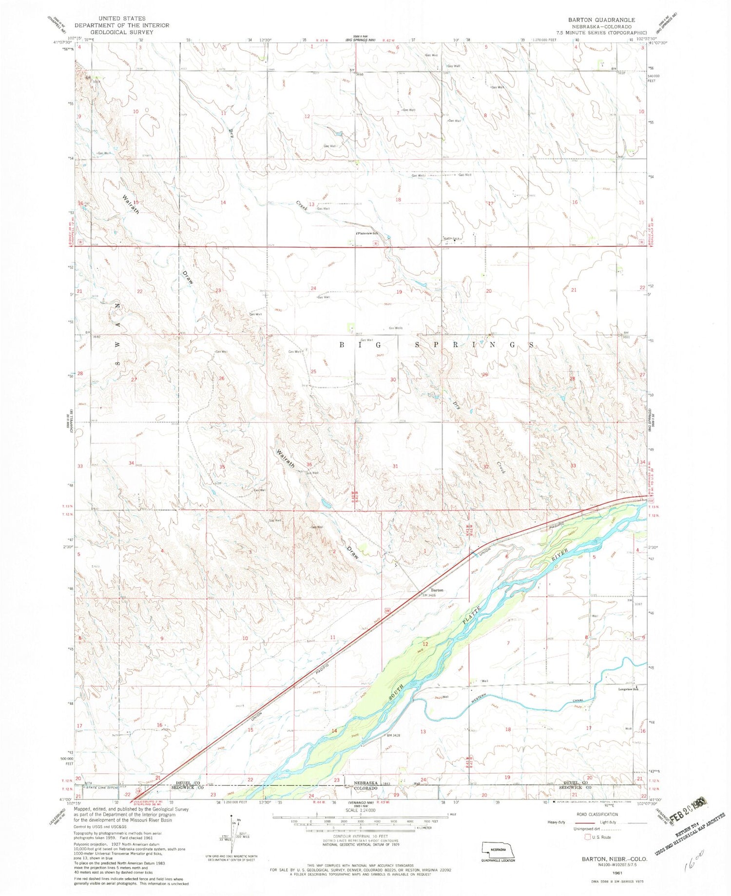
Historical USGS topographic quad map of Barton in the state of Nebraska. Map scale may vary for some years, but is generally around 1:24,000. Print size is approximately 24" x 27"
This quadrangle is in the following counties: Deuel, Sedgwick.
The map contains contour lines, roads, rivers, towns, and lakes. Printed on high-quality waterproof paper with UV fade-resistant inks, and shipped rolled.
Contains the following named places: Barton, Beasley Dam 25-01, Beasley Reservoir, Big Springs Election Precinct, Big Springs Historical Marker, Big Springs Rest Area, Bittersweet State Wildlife Management Area, Dry Creek, Goldeneye Lake, Goldeneye State Wildlife Management Area, Great Platte River Road Historical Marker, Julesburg and Fort Sedgwick Historical Marker, Longview School, Plainview School, Walrath Draw


