MyTopo
Classic USGS Bascom Texas 7.5'x7.5' Topo Map
Couldn't load pickup availability
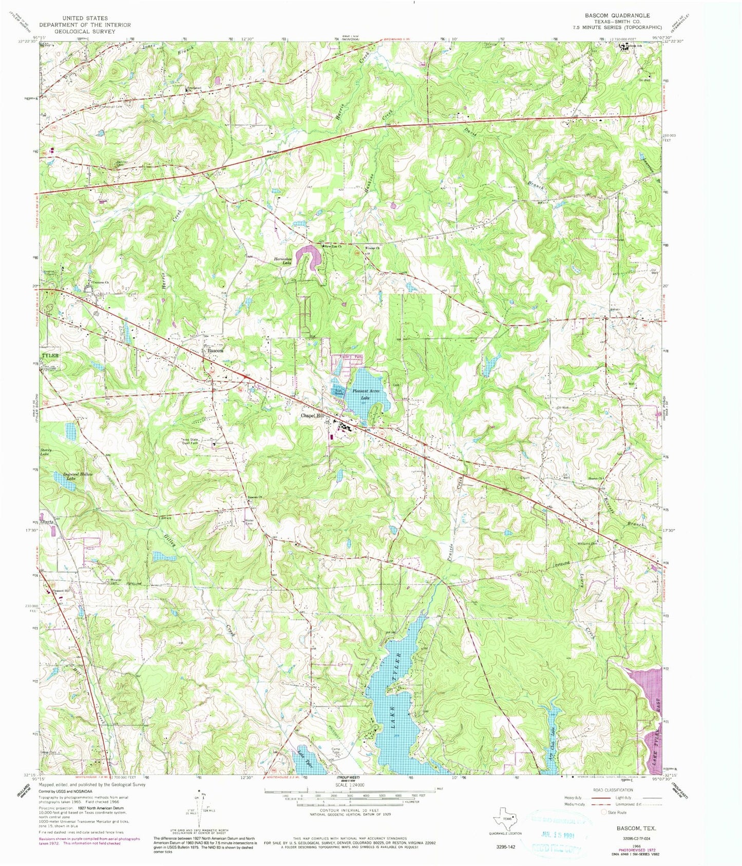
Historical USGS topographic quad map of Bascom in the state of Texas. Typical map scale is 1:24,000, but may vary for certain years, if available. Print size: 24" x 27"
This quadrangle is in the following counties: Smith.
The map contains contour lines, roads, rivers, towns, and lakes. Printed on high-quality waterproof paper with UV fade-resistant inks, and shipped rolled.
Contains the following named places: Bascom, Bascom Church, Belcher Cemetery, Camp Tyler, Chapel Hill, Davis Branch, Dogwood Hollow Lake, Emmanuel Church, Green Cemetery, Hankins Creek, Horseshoe Lake, Jackson School, Lanes Church, Lowry Creek, Meador Cemetery, New Zion Church, Pleasant Acres Lake, Pleasant Hill Church, Saint Viola Cemetery, Sharon Church, University Cemetery, Universe Church, Williams Cemetery, Arp Club Lake, Elberta, Texas State Quail Farm, DPS-Tyler Heliport, KTBB-AM (Tyler), KISX-FM (Whitehouse), New Chapel Hill, Arp Club Dam, Horseshoe Club Lake Dam, Dogwood Hollow Lake Dam, Pleasure Acres Lake Dam, Pinkerton Lake Dam, Pinkerton Lake, Headache Springs, W L Kissam Intermediate School, Wise Elementary School, Chapel Hill High School, Chapel Hill Middle School, Lake Tyler Baptist Church, Landmark Baptist Church, University Baptist Church, University Church of Christ, Azalea Garden Church of God, Bethel Baptist Church, Patriot Center, Headache Springs Natural Park, City of New Chapel Hill, Jackson Heights Volunteer Fire Department, Chapel Hill Fire Department, East Texas Medical Center - Behavioral Health Center, Smith County Sheriff's Office, Texas Highway Patrol Office - Tyler


