MyTopo
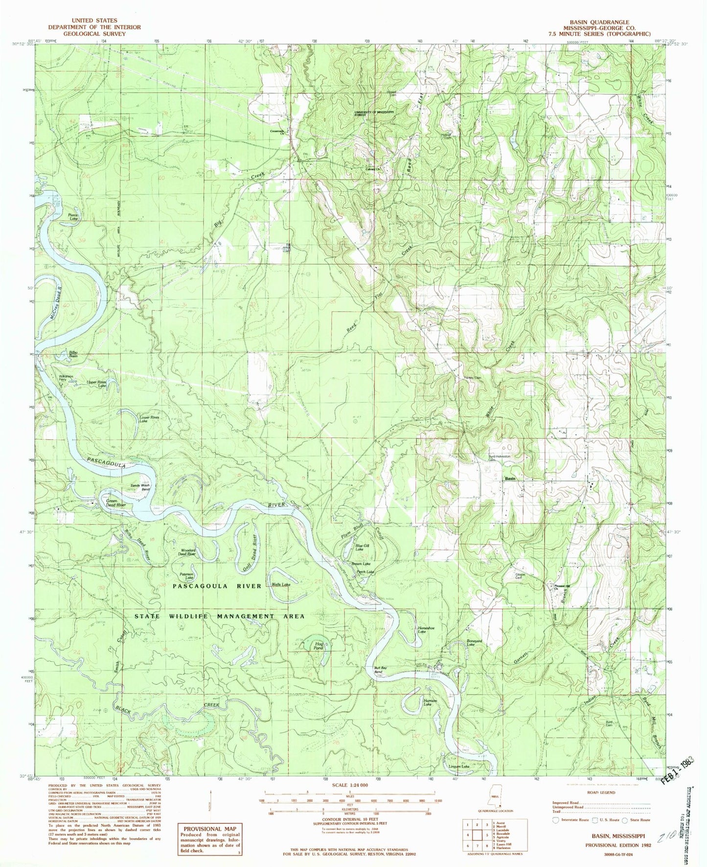
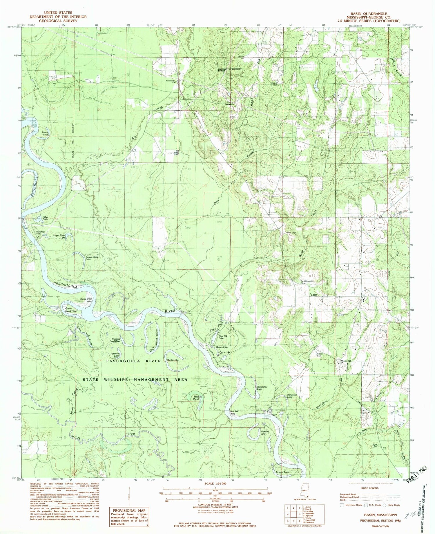
Classic USGS Basin Mississippi 7.5'x7.5' Topo Map
Couldn't load pickup availability
Historical USGS topographic quad map of Basin in the state of Mississippi. Map scale may vary for some years, but is generally around 1:24,000. Print size is approximately 24" x 27"
This quadrangle is in the following counties: George.
The map contains contour lines, roads, rivers, towns, and lakes. Printed on high-quality waterproof paper with UV fade-resistant inks, and shipped rolled.
Contains the following named places: Basin, Basin Post Office, Basin School, Basin Volunteer Fire Department, Big Creek, Big Creek Boat Ramp, Bilbo Basin, Bilbo Dead River, Blue Gill Lake, Boneyard Lake, Bream Lake, Bull Bay Bend, Byrd - Helveston Cemetery, Byrd Cemetery, Byrd Mill Branch, Calvary Church, Crossroads Church, Garnett Branch, George County, Gibson Cemetery, Gibson Landing, Gibson Landing Boat Ramp, Goff Dead River, Green Dead River, Harrison Lake, Hilltop Cemetery, Hog Pond, Horseshoe Lake, Howell Cemetery, Lingum Lake, Lower Rines Lake, McCrea Dead River, Mengel Lumber Camp, Mountain, Pascagoula River State Wildlife Management Area, Perch Lake, Peterson Lake, Pierce Lake, Pleasant Hill Church, Plum Bluff Cutoff, Reed Flat, Reed Flat Creek, Sandy Wash Bend, Scott Paper Company Lake Dam, Smith Cutoff, Supervisor District 3, Upper Rines Lake, Wells Lake, White Creek, Wilkerson Ferry, Wilkerson Ferry Boat Ramp, Willie Cockran Estate Lake Dam, Willie Holcomb Lake Dam, Woodard Dead River


