MyTopo
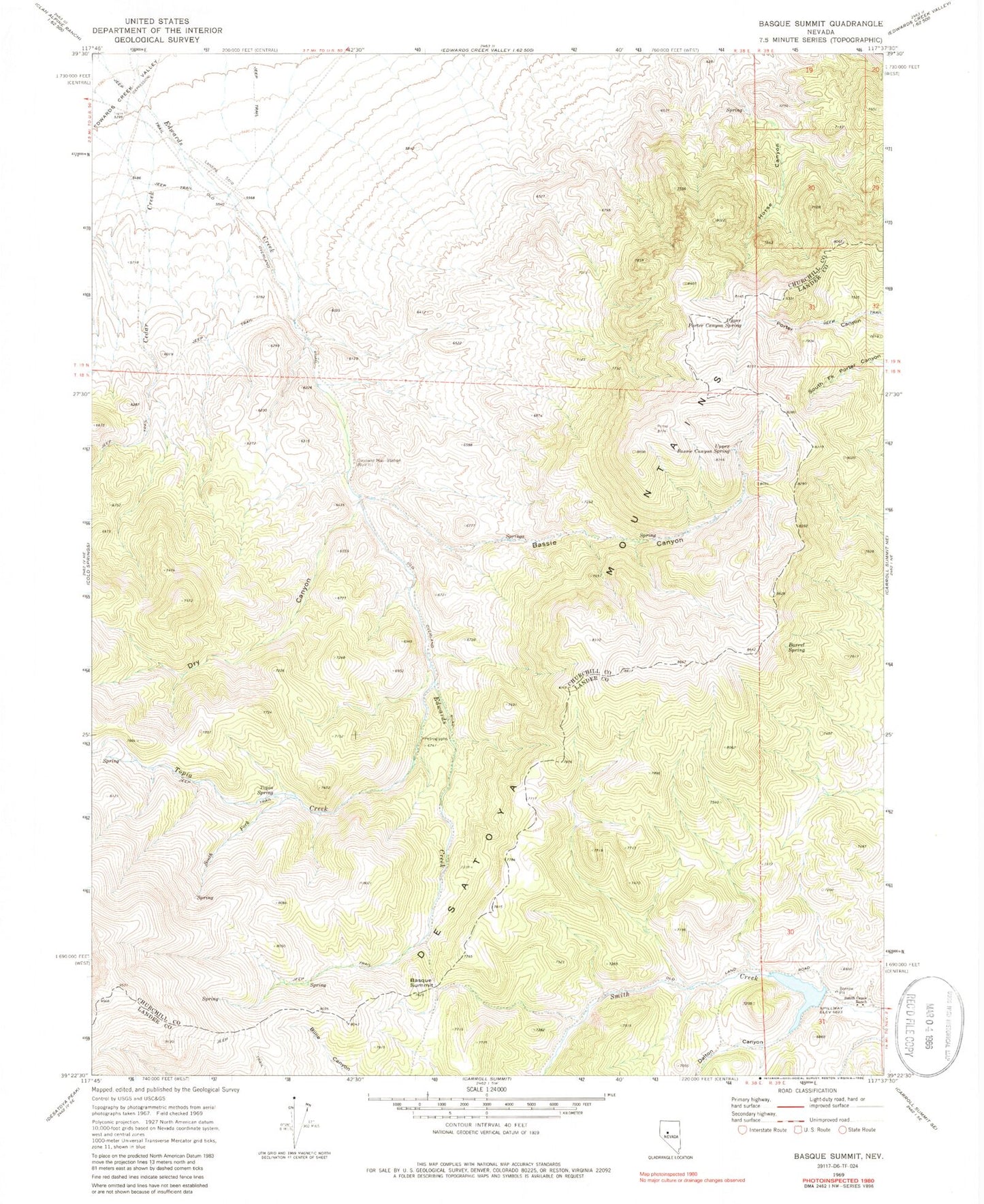
Classic USGS Basque Summit Nevada 7.5'x7.5' Topo Map
Couldn't load pickup availability
Historical USGS topographic quad map of Basque Summit in the state of Nevada. Map scale may vary for some years, but is generally around 1:24,000. Print size is approximately 24" x 27"
This quadrangle is in the following counties: Churchill, Lander.
The map contains contour lines, roads, rivers, towns, and lakes. Printed on high-quality waterproof paper with UV fade-resistant inks, and shipped rolled.
Contains the following named places: Barrel Spring, Basque Summit, Bassie Canyon, Dalton Canyon, Desatoya Mountains, Dry Canyon, Maestretti, Maestretti Post Office, North Fork Smith Creek, Overland Mail Station, Smith Creek Dam, Smith Creek Ranch, Smith Creek Reservoir, Snell Spring, South Fork Topia Creek, Topia Creek, Topia Spring, Upper Bassie Canyon Spring, Upper Porter Canyon Spring