MyTopo
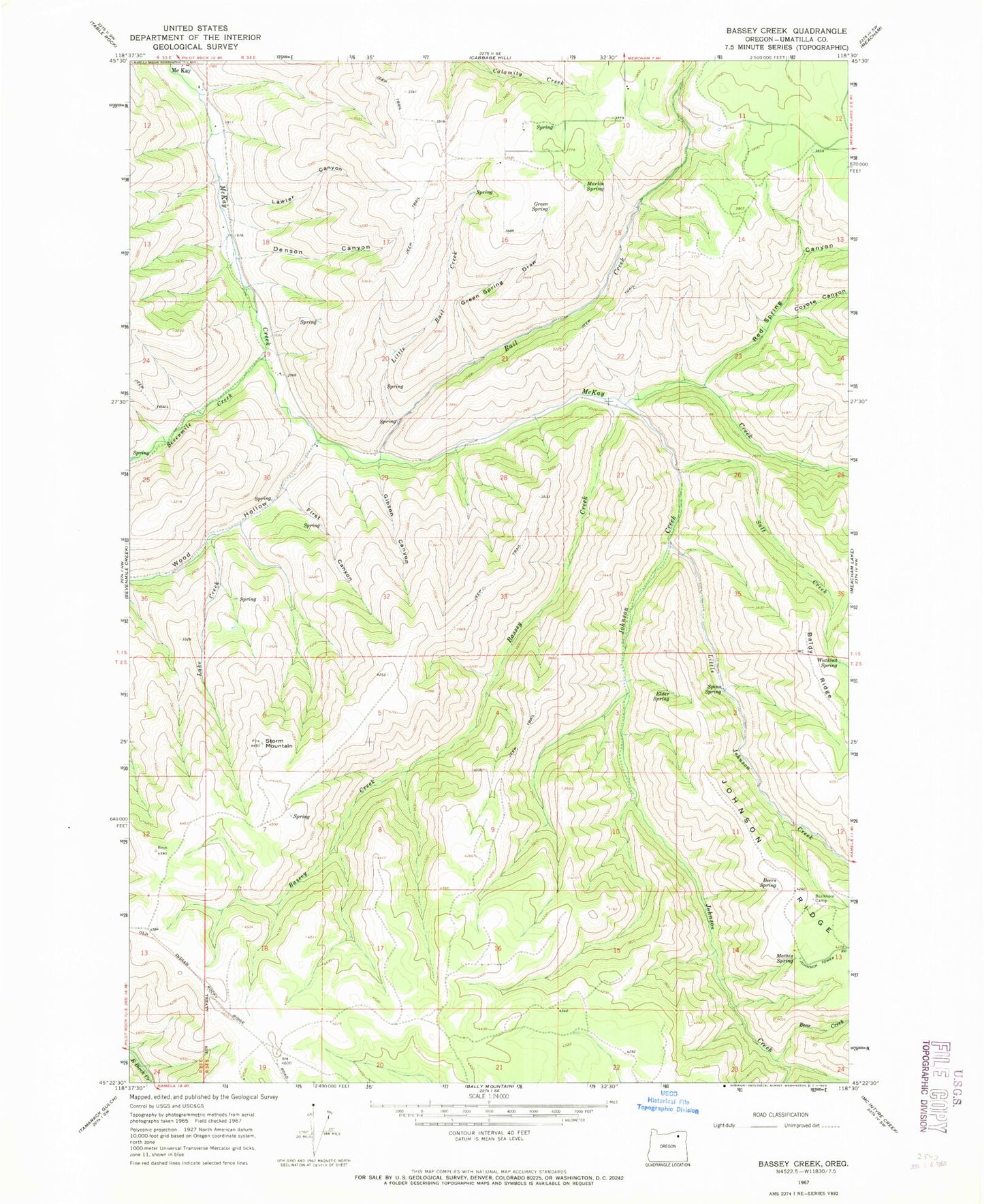
Classic USGS Bassey Creek Oregon 7.5'x7.5' Topo Map
Couldn't load pickup availability
Historical USGS topographic quad map of Bassey Creek in the state of Oregon. Map scale may vary for some years, but is generally around 1:24,000. Print size is approximately 24" x 27"
This quadrangle is in the following counties: Umatilla.
The map contains contour lines, roads, rivers, towns, and lakes. Printed on high-quality waterproof paper with UV fade-resistant inks, and shipped rolled.
Contains the following named places: Baldy Ridge, Bassey Creek, Bear Creek, Beers Spring, Buckhorn Camp, Coyote Canyon, Denson Canyon, Elder Spring, First Canyon, Gibson Canyon, Green Spring, Green Spring Draw, Johnson Creek, Johnson Ridge, Lake Creek, Lawler Canyon, Little Johnson Creek, Little Rail Creek, Marlin Spring, Mathis Spring, McKay, McKay Post Office, Rail Creek, Red Spring Canyon, Salt Creek, Sevenmile Creek, Spino Spring, Storm Mountain, Watkins Spring, Wood Hollow