MyTopo
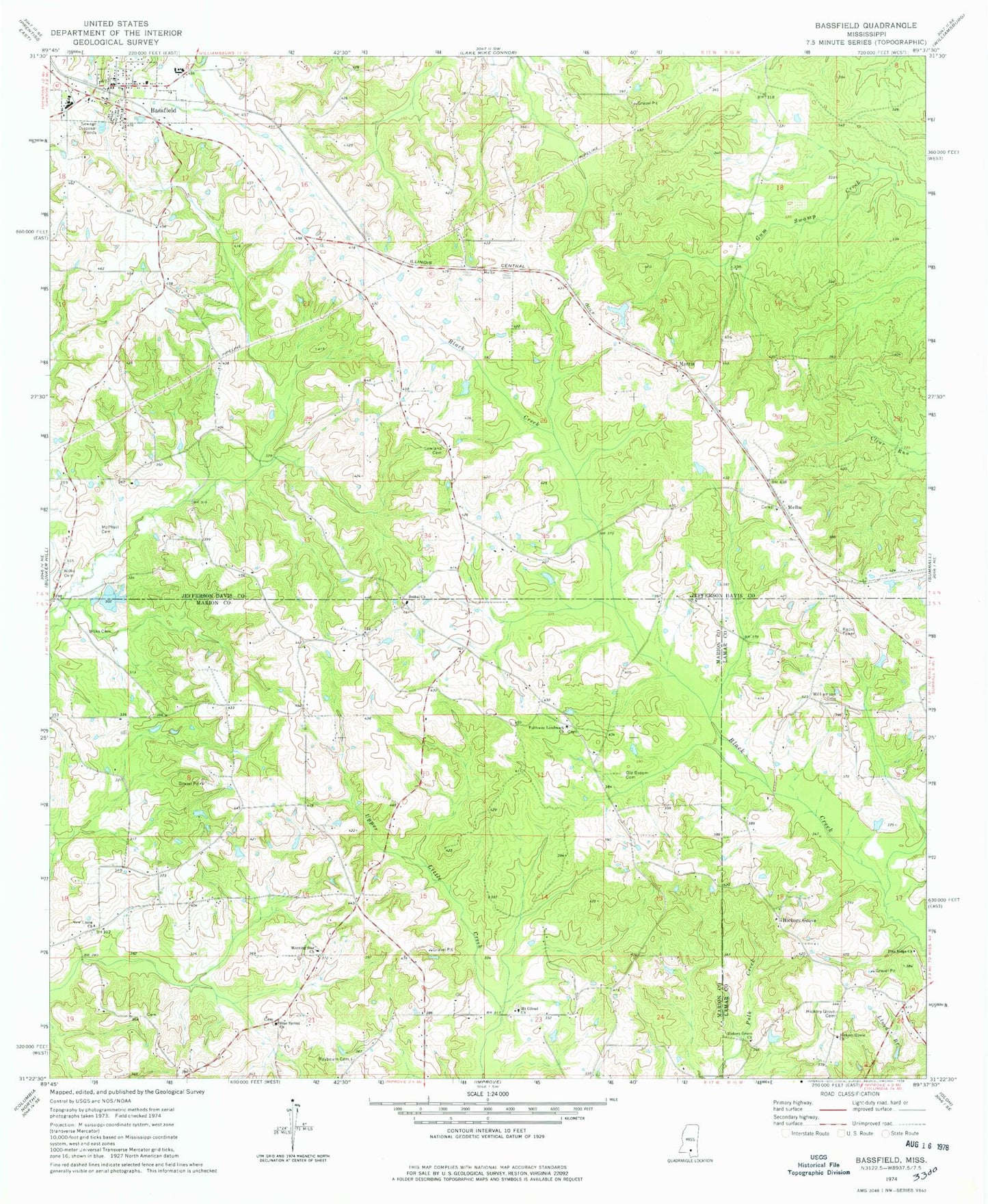
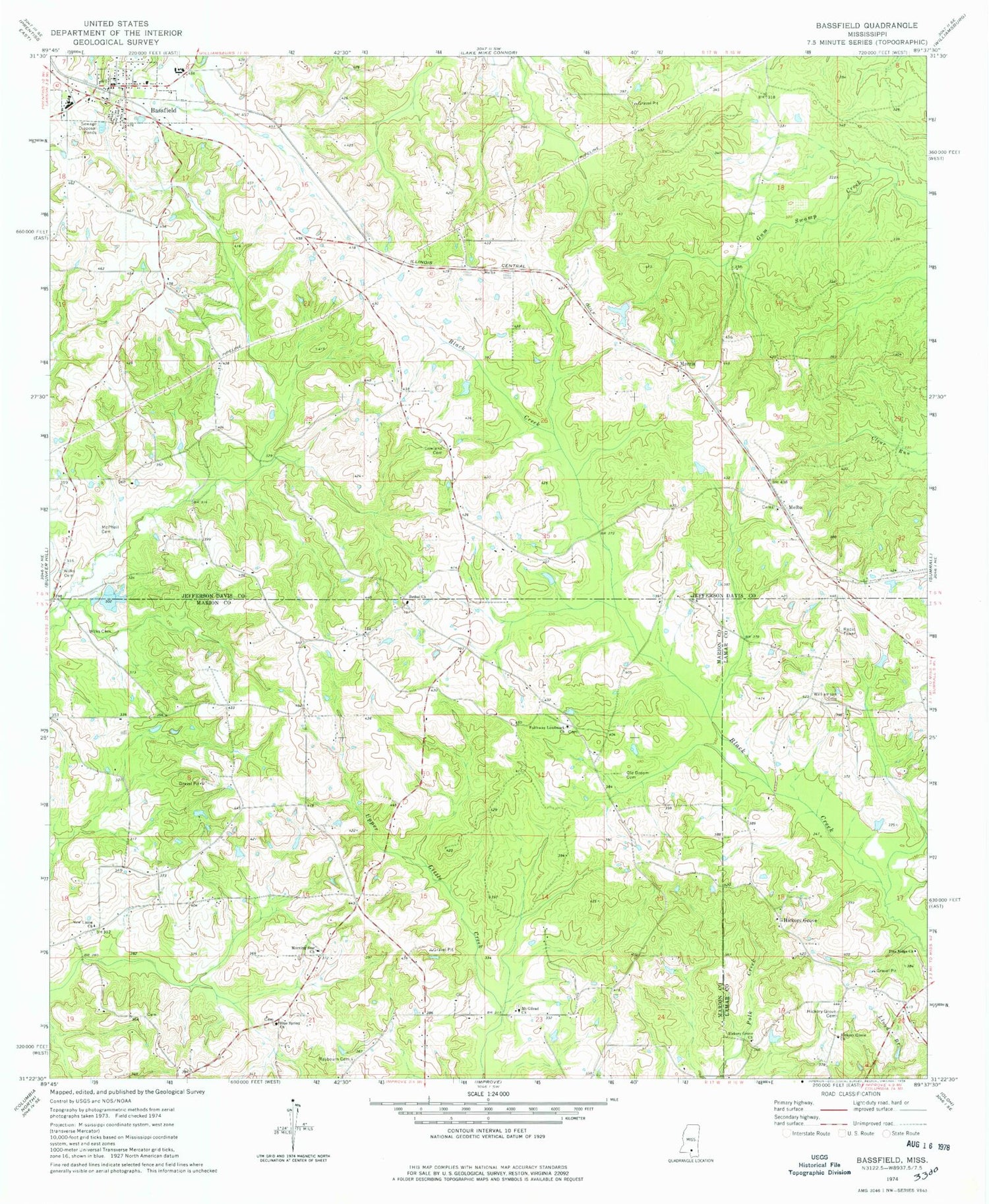
Classic USGS Bassfield Mississippi 7.5'x7.5' Topo Map
Couldn't load pickup availability
Historical USGS topographic quad map of Bassfield in the state of Mississippi. Map scale may vary for some years, but is generally around 1:24,000. Print size is approximately 24" x 27"
This quadrangle is in the following counties: Jefferson Davis, Lamar, Marion.
The map contains contour lines, roads, rivers, towns, and lakes. Printed on high-quality waterproof paper with UV fade-resistant inks, and shipped rolled.
Contains the following named places: Bassfield, Bassfield Baptist Church, Bassfield City Cemetery, Bassfield Elementary School, Bassfield High School, Bassfield Post Office, Bassfield Sewage Lagoon Dam, Bassfield Volunteer Fire Department, Bethel, Bethel Baptist Church, Blackburn-Carter Cemetery, Blue Spring Church, Bond Cemetery, Faithway Landmark Church, Hickory Grove, Hickory Grove Baptist Church, Hickory Grove Cemetery, Hickory Grove Church, Hickory Grove School, Holly Springs Christian Methodist Episcopal Church, Holly Springs Methodist Church, Hubie Spights Lake Dam, L L Roberts Methodist Church, Lamar Puckett Lake Dam, Lott Cemetery, Lowland Cemetery, Lowland School, Magee-Sullivan Cemetery, McDonald Cemetery, McLeod Cemetery, McPhail Cemetery, Melba, Melba Cemetery, Melba School, Michelle Lake Dam, Morning Star Church, Morris, Mount Gilead Cemetery, Mount Gilead Church, New Hope Missionary Baptist Church, New Union, New Union Cemetery, New Union Church, Old Broom Cemetery, Old Melba Cemetery, Pine Ridge Church, Raybourn Cemetery, Saint Paul's Missionary Baptist Church, Saint Peter's Catholic Church, Stewart-Thompson Cemetery, Supervisor District 3, Town of Bassfield, Tri Community Volunteer Fire Department Station 4, Wheeler Cemetery, Wilks Cemetery, Williamson Cemetery, ZIP Code: 39421


