MyTopo
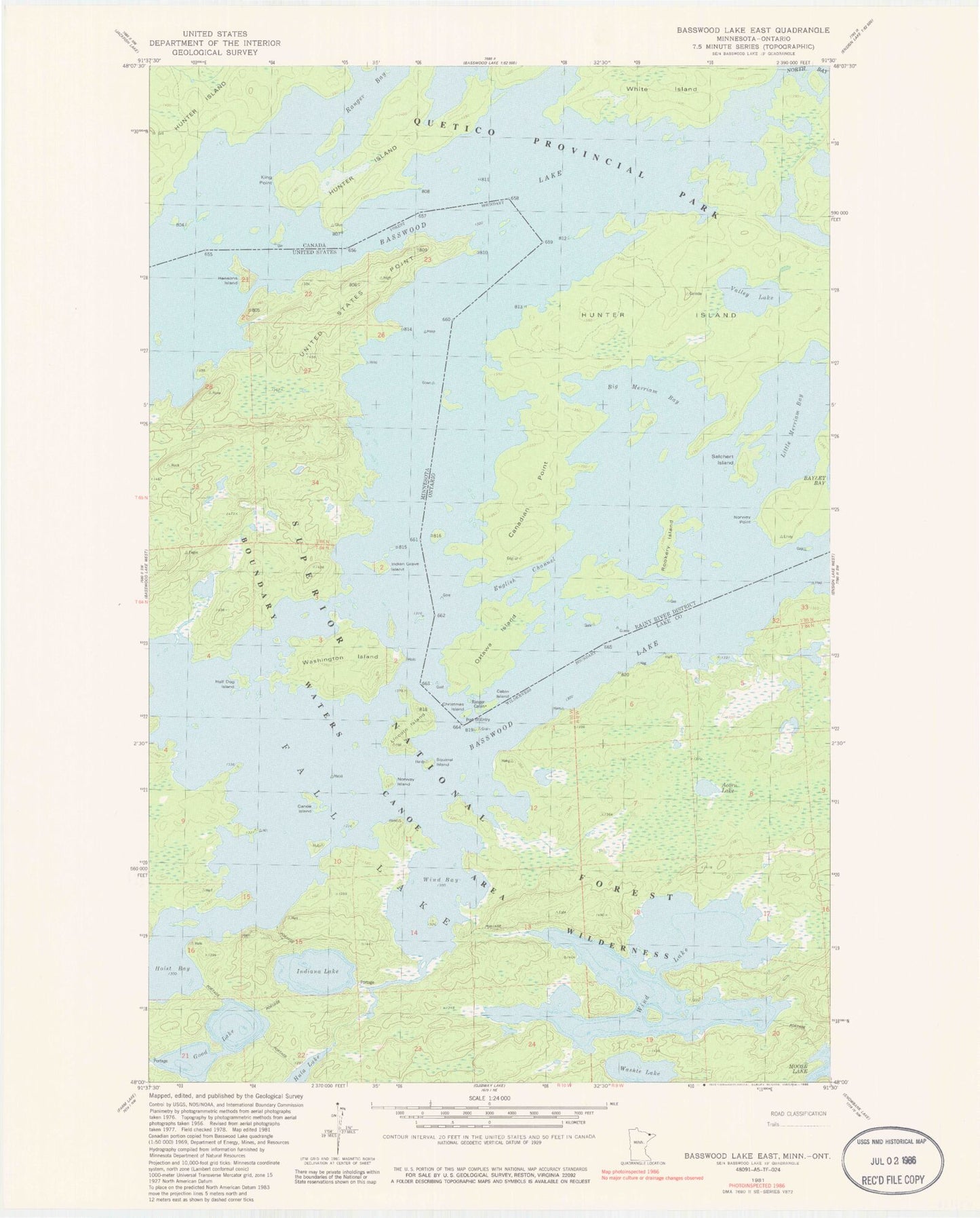
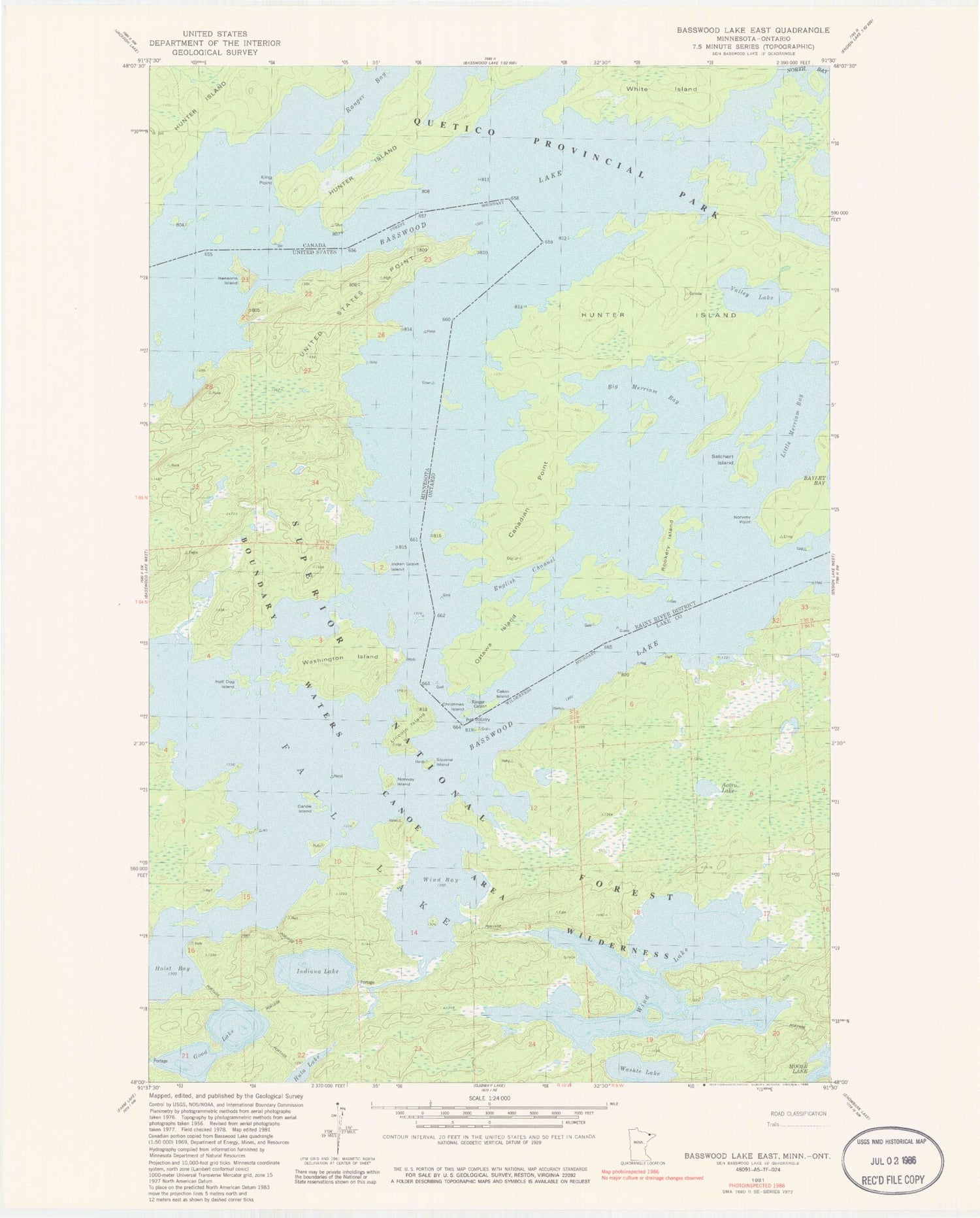
Classic USGS Basswood Lake East Minnesota 7.5'x7.5' Topo Map
Couldn't load pickup availability
Historical USGS topographic quad map of Basswood Lake East in the state of Minnesota. Typical map scale is 1:24,000, but may vary for certain years, if available. Print size: 24" x 27"
This quadrangle is in the following counties: Lake.
The map contains contour lines, roads, rivers, towns, and lakes. Printed on high-quality waterproof paper with UV fade-resistant inks, and shipped rolled.
Contains the following named places: Basswood Lake, Canoe Island, Good Lake, Half Dog Island, Indiana Lake, Lincoln Island, Norway Island, Quetco Wilderness Research Center, Squirrel Island, United States Point, Washington Island, Washte Lake, Wind Bay, Wind Lake, Indian Grave Island, Hausons Island, Acorn Lake, Wind Lake Dam, Wind Lake