
MyTopo
Classic USGS Bastonville Georgia 7.5'x7.5' Topo Map
Couldn't load pickup availability
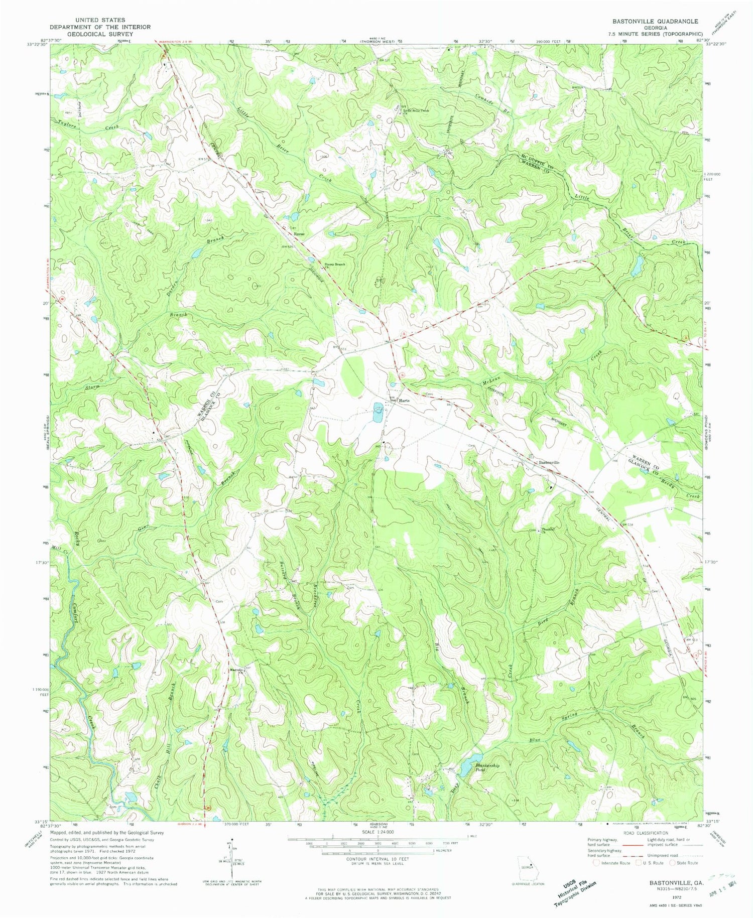
Historical USGS topographic quad map of Bastonville in the state of Georgia. Map scale may vary for some years, but is generally around 1:24,000. Print size is approximately 24" x 27"
This quadrangle is in the following counties: Glascock, McDuffie, Warren.
The map contains contour lines, roads, rivers, towns, and lakes. Printed on high-quality waterproof paper with UV fade-resistant inks, and shipped rolled.
Contains the following named places: Abbott Cemetery, Bastonville, Big Branch, Bird Branch, Blakenship Mill, Blankenship Pond, Blankenship Pond Dam, Blue Spring Branch, Burnleys Old Mill, Buzzard Branch, Cowhide Branch, Daniel Usry Cemetery, Darden Branch, George W Usry Cemetery, Gibson Division, Gin Branch, Gracy Hobbs Cemetery, Harts, Ivey - Jones Cemetery, James Kelly Cemetery, Kitchens - Hobbs Cemetery, Land Cemetery, Langham Cemetery, Little Briar Creek Cemetery, Little Brier Creek Church, Magnolia Cemetery, Magnolia Church, McLean Creek, Mill Creek, Munns Ford, Newsome Cemetery, Norris Cemetery, Pool - Usry Cemetery, Rabun Cemetery, Reese, Reese - Norris Cemetery, Reese Cemetery, Reese Lake, Reese Lake Dam, Rosa Bell Cemetery, Seals - Kitchens Cemetery, Stamp Branch Cemetery, Stamp Branch Church, Swint Cemetery, Thankful Cemetery, Thankful Church, Warren County Fire Department Ricketson Station


