MyTopo
Classic USGS Batamote Hills Arizona 7.5'x7.5' Topo Map
Couldn't load pickup availability
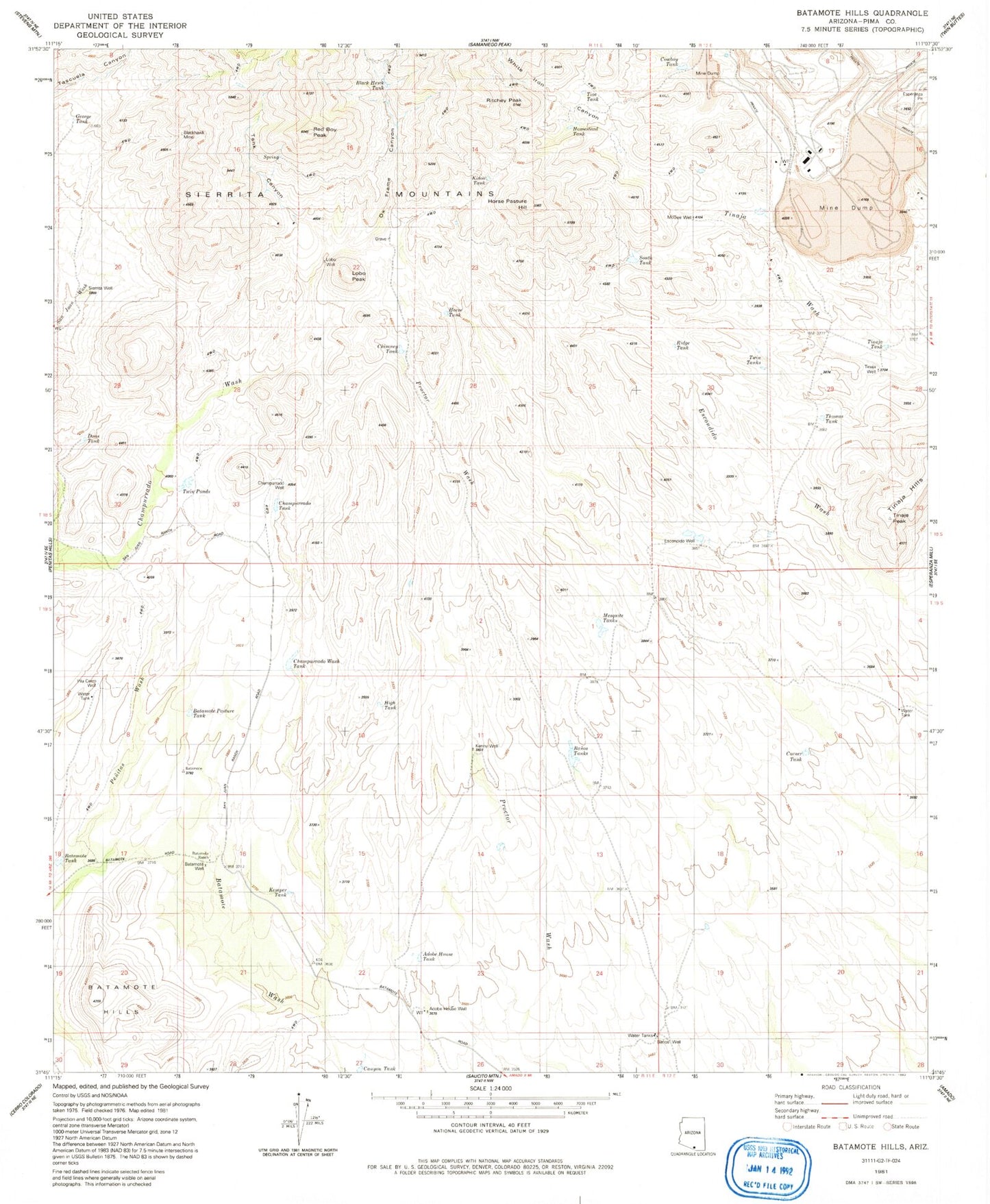
Historical USGS topographic quad map of Batamote Hills in the state of Arizona. Typical map scale is 1:24,000, but may vary for certain years, if available. Print size: 24" x 27"
This quadrangle is in the following counties: Pima.
The map contains contour lines, roads, rivers, towns, and lakes. Printed on high-quality waterproof paper with UV fade-resistant inks, and shipped rolled.
Contains the following named places: Batamote Ranch, Duval Mine, Harris Ranch, Horse Pasture Hill, Lobo Peak, Ox Frame Canyon, Red Boy Peak, Ritchey Peak, Tank Canyon, Tinaja Peak, Tinaja Ranch, White Iron Canyon, Adobe House Tank, Adobe House Well, Banos Well, Batamote Hills, Batamote Pasture Tank, Batamote Tank, Batamote Well, Black Hawk Tank, Blackhawk Mine, Canyon Tank, Champurrado Tank, Champurrado Wash Tank, Champurrado Well, Chimney Tank, Corner Tank, Cowboy Tank, Dons Tank, Escondido Well, Esperanza Pit, George Tank, High Tank, Homestead Tank, Horse Tank, Kemper Tank, Kenny Well, Kidoo Tank, Lobo Well, McGee Well, Mesquite Tanks, Pila Cerro Well, Ridge Tank, Sierrita Mine East Pit, Sierrita Well, South Tank, Thomas Tank, Tinaja Hills, Tinaja Tank, Tinaja Well, Tios Tank, Twin Ponds, Twin Tanks