MyTopo
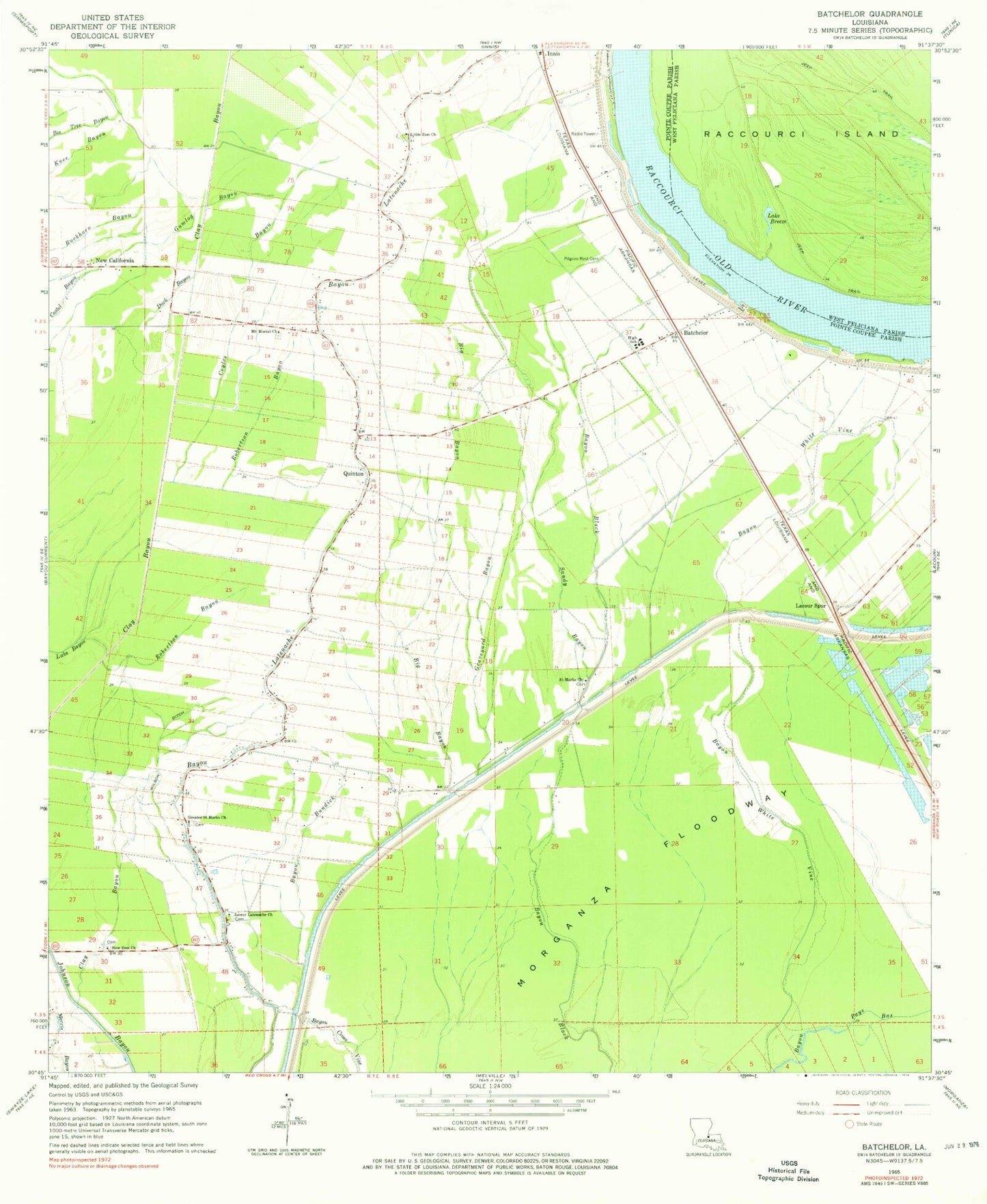
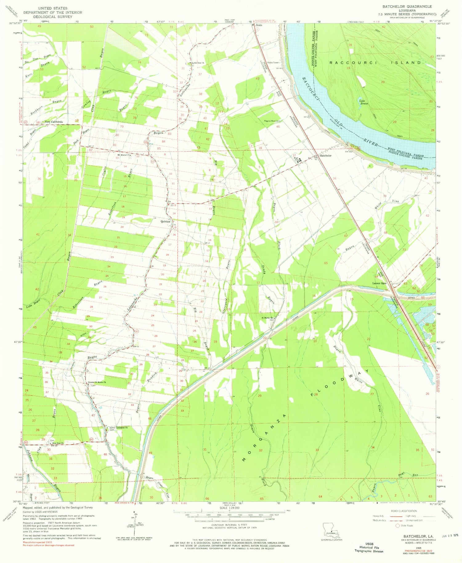
Classic USGS Batchelor Louisiana 7.5'x7.5' Topo Map
Couldn't load pickup availability
Historical USGS topographic quad map of Batchelor in the state of Louisiana. Map scale may vary for some years, but is generally around 1:24,000. Print size is approximately 24" x 27"
This quadrangle is in the following counties: Pointe Coupee, West Feliciana.
The map contains contour lines, roads, rivers, towns, and lakes. Printed on high-quality waterproof paper with UV fade-resistant inks, and shipped rolled.
Contains the following named places: Batchelor, Batchelor Post Office, Bayou Bundick, Bayou Garwood Oil Field, Benton Plantation, Big Bayou, Clay Bayou, Coyles Bayou, Duck Bayou, Graveyard Bayou, Greater Saint Marks Church, Gumlog Bayou, Lacour Spur, Lake Breeze, Latenache Baptist Church Cemetery, Little Zion Cemetery, Little Zion Church, Little Zion School, Lower Latenache School, Mains Plantation, Mount Marias Cemetery, Mount Moriah Church, New California, New Zion Church, Parish Governing Authority District 2, Pilgrim Rest Cemetery, Pilgrim Rest Church, Quinton, Randall, Robertson Bayou, Saint Marks Cemetery, Saint Marks Church, Sandy Bayou, Upper Pointe Coupee Elementary School, Upper Pointe Coupee High School, Ward Three, Wilson Ditch, ZIP Codes: 70715, 70747