MyTopo
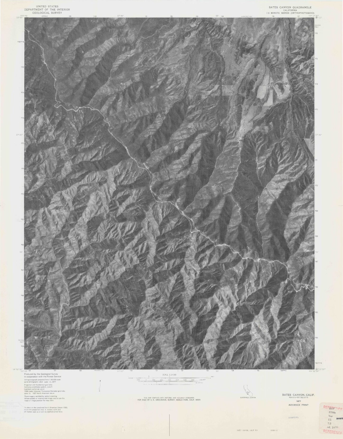
Classic USGS Bates Canyon California 7.5'x7.5' Topo Map
Couldn't load pickup availability
Historical USGS topographic quad map of Bates Canyon in the state of California. Map scale is 1:24000. Print size is approximately 24" x 27"
This quadrangle is in the following counties: Santa Barbara.
The map contains contour lines, roads, rivers, towns, and lakes. Printed on high-quality waterproof paper with UV fade-resistant inks, and shipped rolled.
Contains the following named places: Bates Canyon, Bates Canyon, Bates Canyon Campground, Bates Canyon Campground, Bates Canyon Campground, Bates Canyon Campground, Big Spring, Big Spring, Big Spring Canyon, Big Spring Canyon, Cole Spring, Cole Spring, Cole Spring Campground, Cole Spring Campground, Docs Spring Campground, Docs Spring Campground, Eckart Canyon, Eckart Canyon, Hidden Spring, Hidden Spring, Little Spring, Little Spring, Little Spring Canyon, Little Spring Canyon, Moon Canyon, Moon Canyon, Rines Recreation Site, Rines Recreation Site, White Oaks Guard Station, White Oaks Guard Station