MyTopo
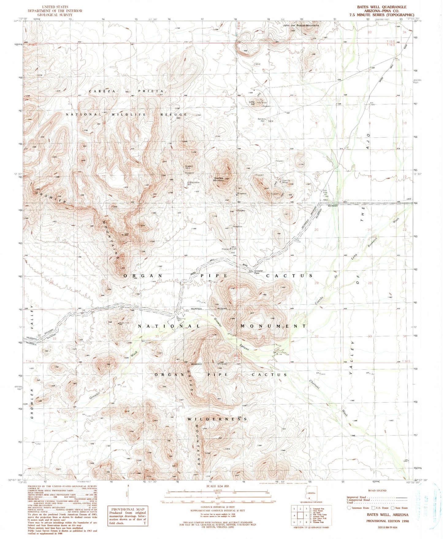
Classic USGS Bates Well Arizona 7.5'x7.5' Topo Map
Regular price
$16.95
Regular price
Sale price
$16.95
Unit price
per
Couldn't load pickup availability
Historical USGS topographic quad map of Bates Well in the state of Arizona. Map scale may vary for some years, but is generally around 1:24,000. Print size is approximately 24" x 27"
This quadrangle is in the following counties: Pima.
The map contains contour lines, roads, rivers, towns, and lakes. Printed on high-quality waterproof paper with UV fade-resistant inks, and shipped rolled.
Contains the following named places: Ajo Division, Bandeja Well, Bates Well, Bluebird Mine, Cherioni Wash, Cuerda de Lena, Daniells Well, Growler Canyon, Growler Pass, Lime Hill, Scarface Mountain