MyTopo
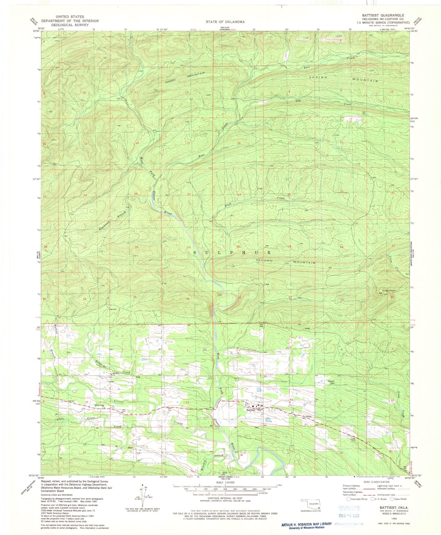
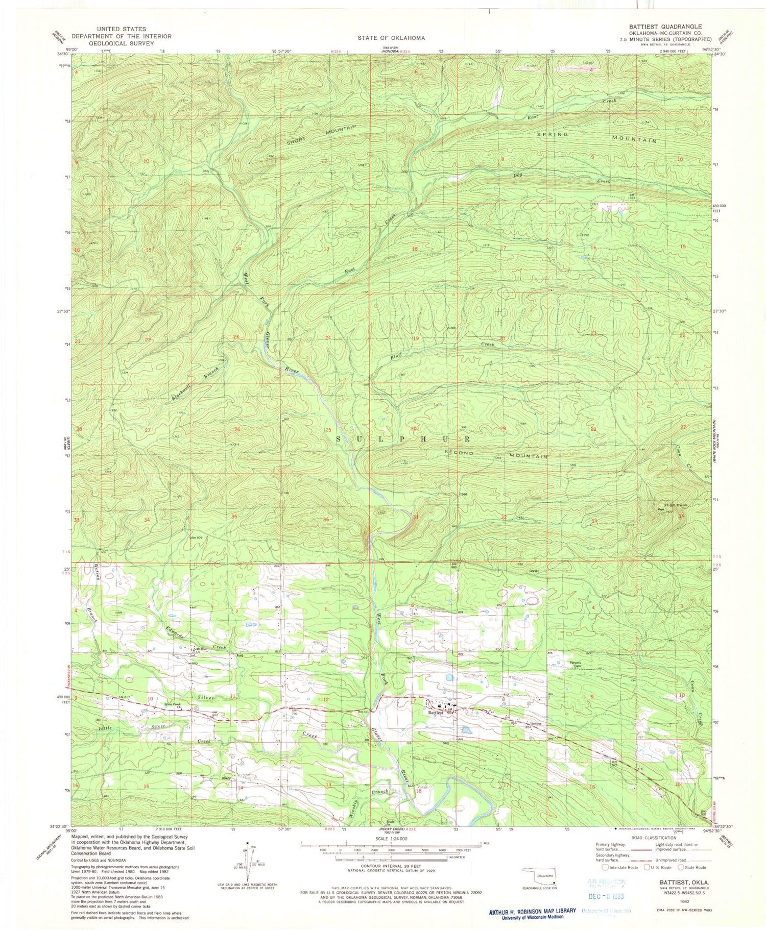
Classic USGS Battiest Oklahoma 7.5'x7.5' Topo Map
Couldn't load pickup availability
Historical USGS topographic quad map of Battiest in the state of Oklahoma. Map scale may vary for some years, but is generally around 1:24,000. Print size is approximately 24" x 27"
This quadrangle is in the following counties: McCurtain.
The map contains contour lines, roads, rivers, towns, and lakes. Printed on high-quality waterproof paper with UV fade-resistant inks, and shipped rolled.
Contains the following named places: Battiest, Battiest Cemetery, Battiest Elementary School, Battiest High School, Battiest Volunteer Fire Department, Blackwell Branch, Bluff Creek, Dog Creek, East Creek, Edwards Creek, High Peak, Little Silver Creek, Mount Zion Church, Parsons Cemetery, Second Mountain, Short Mountain, Silver Creek, Silver Creek Church, Watson Branch, Winship Branch, ZIP Code: 74722