MyTopo
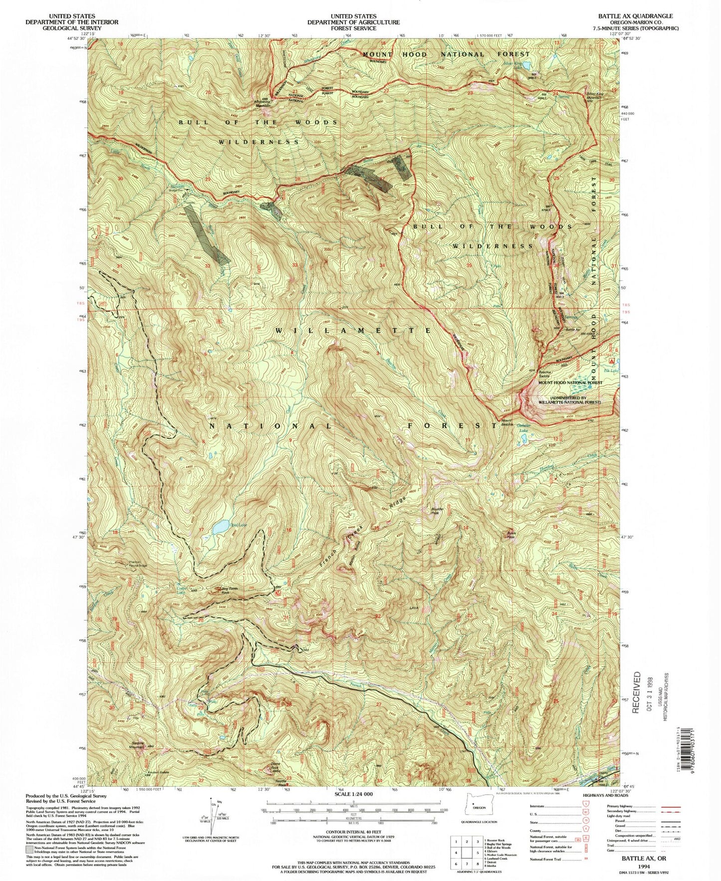
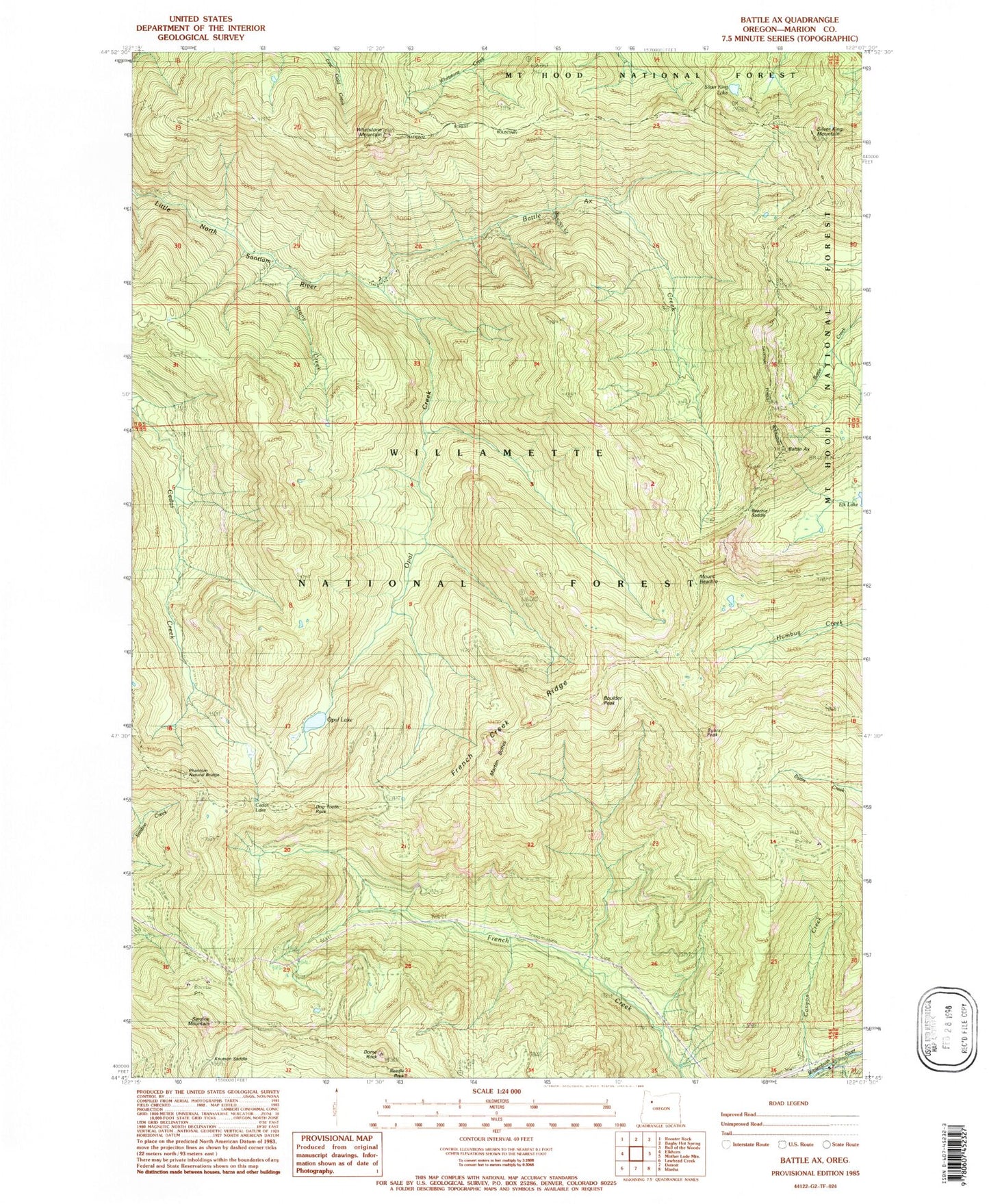
Classic USGS Battle Ax Oregon 7.5'x7.5' Topo Map
Couldn't load pickup availability
Historical USGS topographic quad map of Battle Ax in the state of Oregon. Typical map scale is 1:24,000, but may vary for certain years, if available. Print size: 24" x 27"
This quadrangle is in the following counties: Marion.
The map contains contour lines, roads, rivers, towns, and lakes. Printed on high-quality waterproof paper with UV fade-resistant inks, and shipped rolled.
Contains the following named places: Silver King Lake, Battle Ax, Battle Ax Creek, Beachie Saddle, Beachie Trail, Blue Jay Mine, Boulder Peak, Byars Peak, Cedar Lake, Dog Tooth Rock, Dome Rock, French Creek Ridge, French Creek Trail, Knutson Saddle, Needle Rock, Opal Creek, Opal Lake, Phantom Natural Bridge, Rocky Top Shelter, Rocky Top Trail, Silver King Mountain, Stony Creek, Whetstone Mountain, Blue Jay Creek, Giebeler Lake, Beachie Creek, Amalgamated Mine, Elk Lake Recreation Site, Mount Beachie, Marten Buttes, Sardine Mountain, Marten Creek, Opal Pool, Opal Creek Trail, Jawbone Flats (historical), United States Forest Service Elk Lake Campground Boat Ramp


