MyTopo
Classic USGS Battle Butte Montana 7.5'x7.5' Topo Map
Regular price
$16.95
Regular price
Sale price
$16.95
Unit price
per
Couldn't load pickup availability
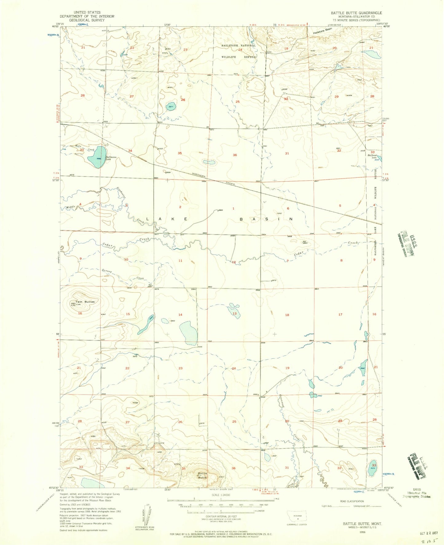
Historical USGS topographic quad map of Battle Butte in the state of Montana. Map scale may vary for some years, but is generally around 1:24,000. Print size is approximately 24" x 27"
This quadrangle is in the following counties: Stillwater.
The map contains contour lines, roads, rivers, towns, and lakes. Printed on high-quality waterproof paper with UV fade-resistant inks, and shipped rolled.
Contains the following named places: 02N20E15BAAD01 Well, Battle Butte, Dallmann Lake, Greenwood Creek, Gurney Creek, Hailstone National Wildlife Refuge Dam, Middle Creek, Mills Creek, North Stillwater Division, Sixshooter Creek, Struck Creek, Toll Creek, Twin Buttes